Landmark: Tidal Flats
City: Andros Island
Country: Bahamas
Continent: North America
Tidal Flats, Andros Island, Bahamas, North America
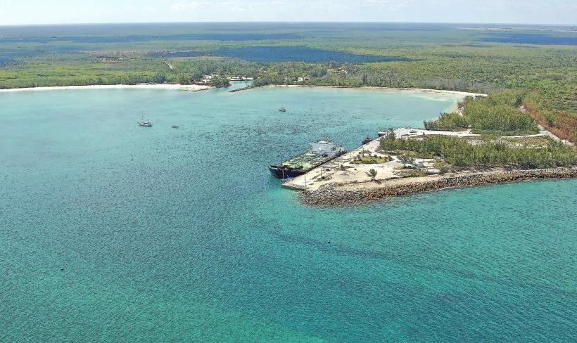
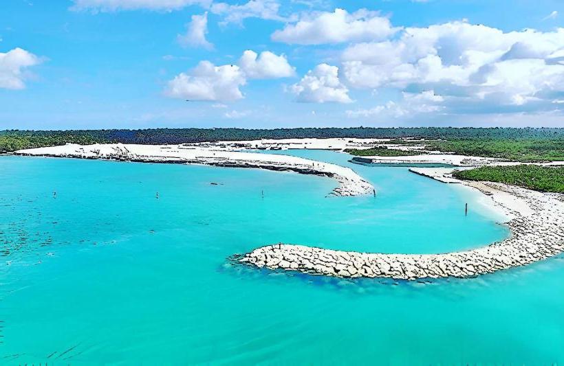
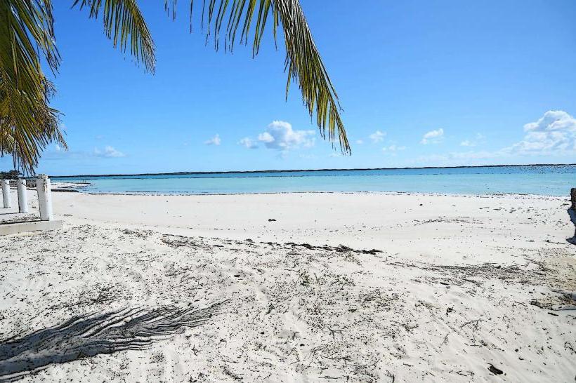
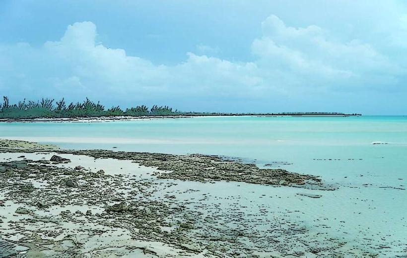
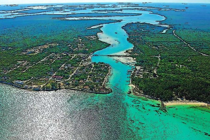
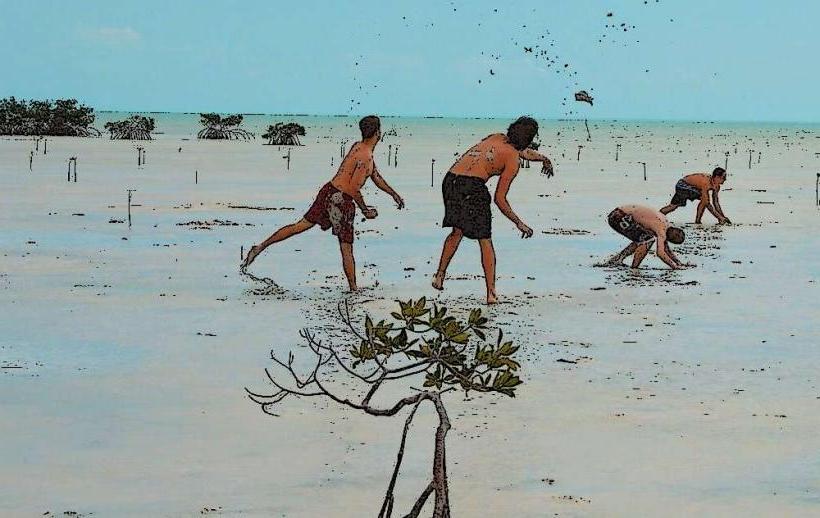
The Tidal Flats of Andros Island, Bahamas, represent a significant coastal wetland ecosystem. This area is characterized by shallow, brackish waters and extensive intertidal zones.
Visual Characteristics
The flats consist of fine, silty sediment, often exposed during low tide. Water depth averages less than one meter, with visibility varying based on sediment suspension. Sparse seagrass beds are present in submerged areas. The surrounding vegetation is primarily mangrove, with species like red mangrove (Rhizophora mangle) dominating the shoreline.
Location & Access Logistics
The Tidal Flats are located along the western coast of Andros Island. Access is primarily via unpaved service roads originating from Queen's Highway. The nearest settlement is Small Hope Bay, approximately 15 kilometers to the east. Parking is available at designated pull-offs along these service roads. Public transport is not available; access requires a private vehicle or taxi service.
Historical & Ecological Origin
These tidal flats are a geologically recent formation, resulting from the accumulation of marine sediments and the growth of mangrove forests over millennia. They are classified as a coastal mangrove estuary and seagrass bed ecosystem, crucial for nutrient cycling and as a nursery ground for marine life.
Key Highlights & Activities
Birdwatching is a primary activity, with numerous wading bird species observed. Fishing for bonefish and permit is possible during specific tidal conditions. Kayaking and paddleboarding can be undertaken in the channels between mangrove islands. Observation of marine invertebrates exposed at low tide is also a focus.
Infrastructure & Amenities
No formal infrastructure or amenities are present within the Tidal Flats. Restrooms, shade, and food vendors are not available. Cell phone signal (4G/5G) is intermittent and unreliable.
Best Time to Visit
The best time for birdwatching is during the early morning and late afternoon. For fishing, consult local tide charts; low tide periods are often preferred for spotting prey. The dry season, from December to May, offers the most favorable weather conditions with lower humidity and reduced rainfall.
Facts & Legends
Local folklore suggests that the shallow waters of the flats are home to ancient spirits that protect the island's marine life. A specific tip for visitors is to wear appropriate footwear that can withstand muddy conditions and to be aware of the incoming tide, which can rapidly inundate access routes.
Nearby Landmarks
- Small Hope Bay Lodge (15km East)
- Andros National Park (20km North)
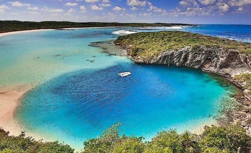
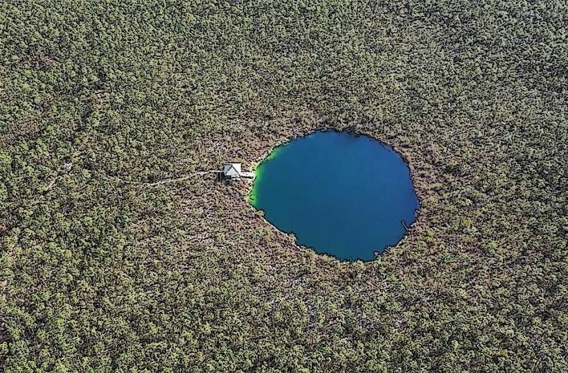
- Blue Hole National Park (25km Southeast)
- Fresh Creek (18km East)