Landmark: Trail Ridge Road
City: Estes Park
Country: USA Colorado
Continent: North America
Trail Ridge Road, Estes Park, USA Colorado, North America
Trail Ridge Road is a paved highway traversing Rocky Mountain National Park in Colorado, USA. It is the highest continuous paved road in North America.
Visual Characteristics
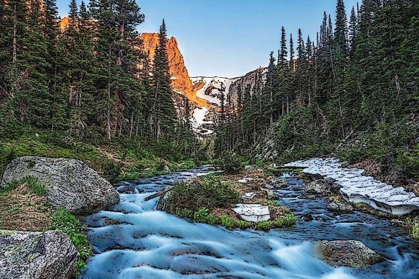
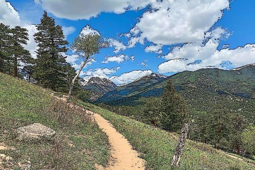
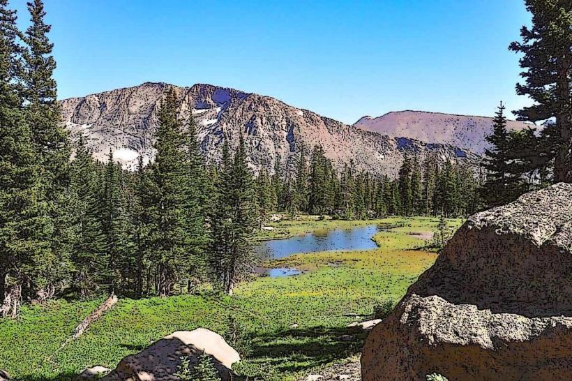
The road ascends through multiple ecological zones, transitioning from montane forests of Ponderosa pine and Douglas fir to subalpine forests of Engelmann spruce and subalpine fir. Higher elevations feature alpine tundra characterized by low-lying grasses, sedges, wildflowers, and scattered dwarf shrubs. Rock formations are primarily granite and metamorphic rock. Snow can persist on higher sections well into summer.
Location & Access Logistics
Trail Ridge Road is accessible from Estes Park, Colorado, via US Highway 34 East. The entrance to Rocky Mountain National Park is approximately 3 miles west of Estes Park. The road continues west to Grand Lake, Colorado. Parking is available at designated pull-offs and visitor centers along the route. Public transport is not available directly on Trail Ridge Road; private vehicle access is required.
Historical & Ecological Origin
Construction of Trail Ridge Road began in 1932 and was completed in 1938. It was built to provide access to the alpine tundra and to connect the eastern and western sides of the park. The road follows a route that was historically used by Native American tribes and later by trappers and settlers. The alpine tundra ecosystem is a result of high altitude, low temperatures, and strong winds.
Key Highlights & Activities
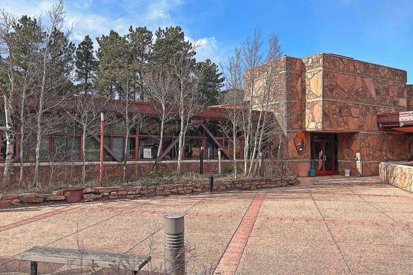
Driving the full length of the road offers expansive views. Stops at the Alpine Visitor Centre (elevation 11,796 feet) provide interpretive displays and panoramic vistas. Hiking is possible on designated trails such as the Tundra Communities Trail. Wildlife viewing opportunities include elk, bighorn sheep, and marmots. Photography is a primary activity at numerous overlooks.
Infrastructure & Amenities
Restrooms are available at the Alpine Visitor Centre and other designated pull-offs. Shade is limited at higher elevations. Cell phone signal is intermittent and generally unavailable at higher elevations. Food services are available at the Alpine Visitor Centre during operating hours; limited food vendors are located in Estes Park and Grand Lake.
Best Time to Visit
Trail Ridge Road is typically open from late May or early June through mid-October, depending on snow conditions. The best time of day for photography is generally early morning or late afternoon for softer light. Mid-July through August offers the most reliable weather and access to the full length of the road.
Facts & Legends
The highest point on Trail Ridge Road is 12,183 feet (3,713 meters) above sea level. A local legend suggests that the area above treeline is inhabited by tiny, elusive creatures known as "rock sprites" that are only visible to those with a pure heart.
Nearby Landmarks
- 0.5km South: Sprague Lake
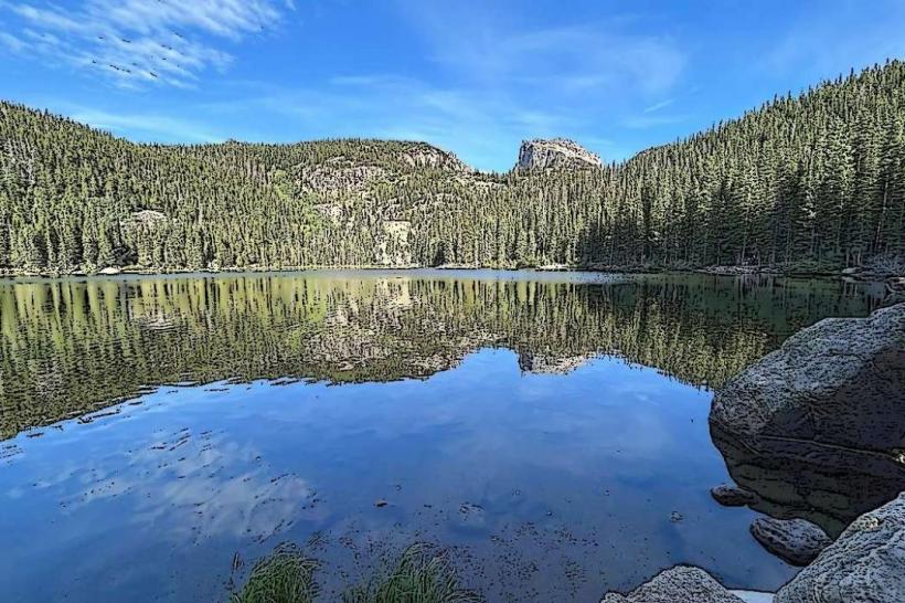
- 1.2km Southwest: Bear Lake
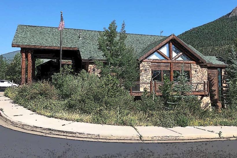
- 3.0km East: Estes Park Visitor Center
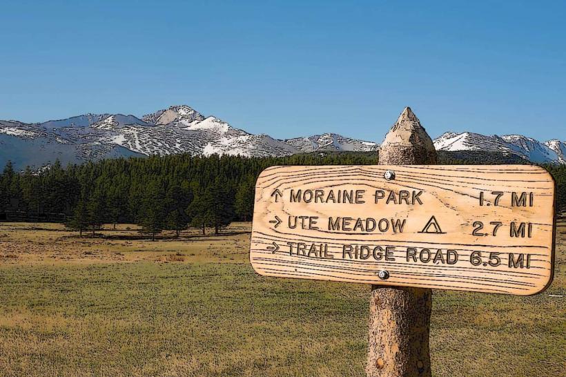
- 4.5km Northeast: Moraine Park