Landmark: Wild Basin Area
City: Estes Park
Country: USA Colorado
Continent: North America
Wild Basin Area, Estes Park, USA Colorado, North America
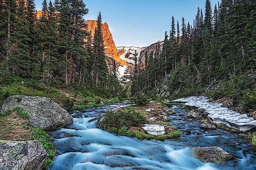
The Wild Basin Area is a section of Rocky Mountain National Park located in Larimer County, Colorado, USA. It is situated in the southeastern portion of the park.
Visual Characteristics
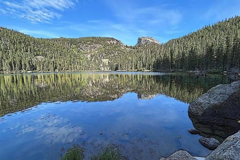
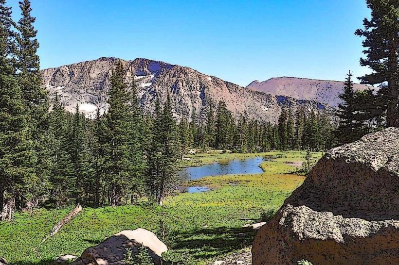
The terrain consists of granite formations, alpine lakes, and montane forests. Elevations range from approximately 8,000 feet to over 12,000 feet. Vegetation includes ponderosa pine, Douglas fir, aspen, and subalpine fir at lower elevations, transitioning to Engelmann spruce, subalpine fir, and alpine tundra at higher altitudes. Water bodies, such as Ouzel Lake and Bluebird Lake, are typically clear and cold, reflecting the surrounding rock and vegetation.
Location & Access Logistics
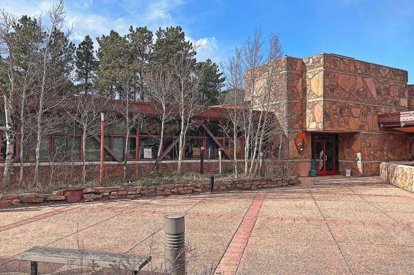
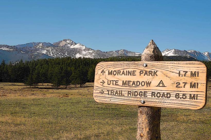
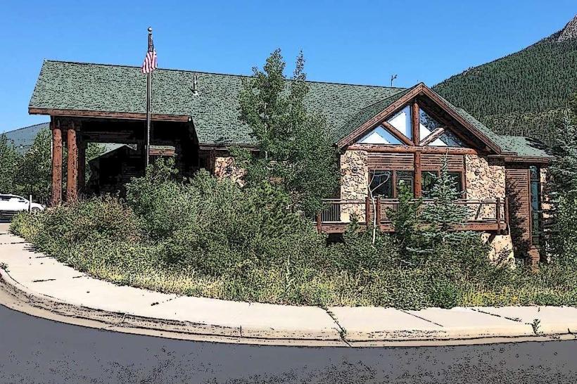
Access to the Wild Basin Area is via County Road 107 (Wild Basin Road) from State Highway 7, approximately 10 miles south of Estes Park. The paved road extends for about 5 miles to the Wild Basin Ranger Station and trailhead. Parking is available at the ranger station lot, which can accommodate approximately 50 vehicles. During peak season, overflow parking may be utilized. Public transportation to the Wild Basin trailhead is not directly provided by local transit services; visitors typically use private vehicles or taxis from Estes Park.
Historical & Ecological Origin
The Wild Basin Area's geological features are a result of Precambrian metamorphic and igneous rocks, subsequently sculpted by glacial erosion during the Pleistocene epoch. The area is part of the Front Range of the Rocky Mountains. Ecologically, it represents a transition zone from montane to subalpine and alpine environments, supporting diverse flora and fauna adapted to varying altitudes and conditions.
Key Highlights & Activities
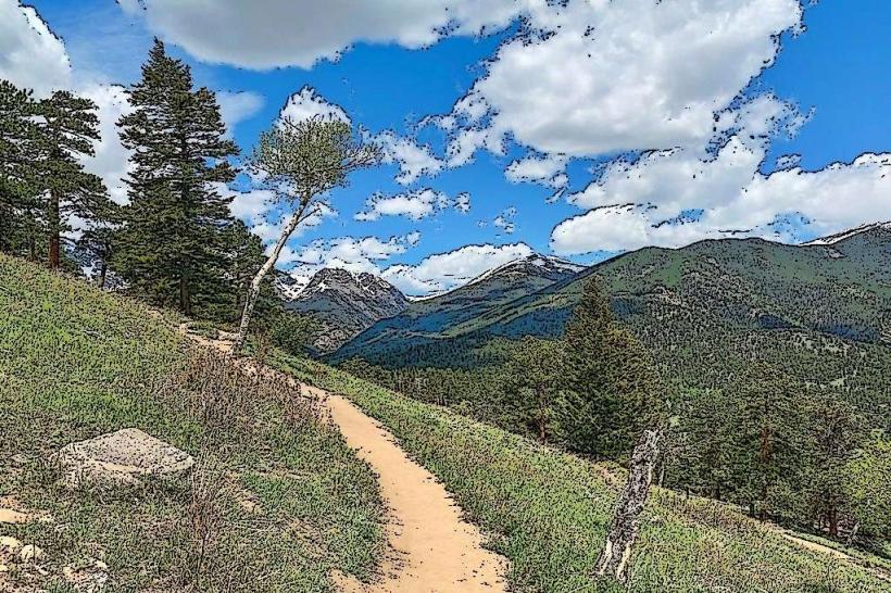
Hiking is the primary activity. Specific trails include the Ouzel Falls Trail (3.2 miles roundtrip to the falls), the Calypso Cascades Trail (4.4 miles roundtrip), and the Bluebird Lake Trail (10.4 miles roundtrip). Rock climbing opportunities exist on granite faces. Wildlife observation is common, with potential sightings of elk, deer, bighorn sheep, and various bird species. Fishing is permitted in designated lakes and streams, subject to park regulations.
Infrastructure & Amenities
Restrooms are available at the Wild Basin Ranger Station. Shade is provided by the forest canopy along many trails. Cell phone signal is intermittent and generally unreliable within the Wild Basin Area. No food vendors are present within the Wild Basin Area itself; provisions should be acquired in Estes Park.
Best Time to Visit
The best months for hiking are typically July through September, when snow has largely receded from higher trails. Mid-morning offers good lighting for photography of the landscape. For Ouzel Falls, any time of day is suitable. Access via County Road 107 is generally open year-round, but winter conditions can restrict travel and trail accessibility.
Facts & Legends
The Ouzel Falls Trail passes by the site of the historic Ouzel Lake Dam, which failed in 1975, causing significant flood damage downstream. The subsequent natural recovery of the area is a subject of ecological study.
Nearby Landmarks
- 0.5km West: Wild Basin Ranger Station
- 3.0km Northwest: Copeland Falls
- 4.0km Northwest: Calypso Cascades
- 6.0km Northwest: Thunder Lake Trailhead