Landmark: Tsingy Rouge
City: Antsiranana
Country: Madagascar
Continent: Africa
Tsingy Rouge, Antsiranana, Madagascar, Africa
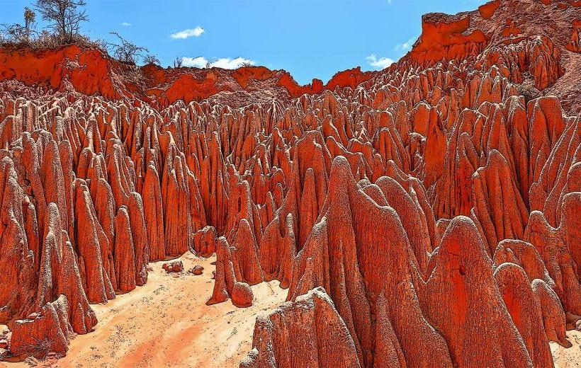
The Tsingy Rouge is a unique geological formation composed of red lateritic pinnacles, located in the Irodo River valley near Antsiranana, northern Madagascar.
Visual Characteristics
The formations consist of eroded sandstone, limestone, and laterite, displaying a dominant red coloration with variations of orange, pink, and white hues. These structures are characterized by sharp, needle-like spires and deep canyons, sculpted by natural erosion. Individual pinnacles vary in height, with some reaching several meters. The surrounding vegetation is sparse, typical of dry scrubland.
Location & Access Logistics
The site is situated approximately 50-60 kilometers southeast of Antsiranana. Access is primarily via a dirt track that branches off National Route 6 (RN6). A 4x4 vehicle is essential for reaching the site, particularly during the wet season. Unofficial parking areas are available near the entrance. There are no direct public transport options; private vehicle hire or organized tours are required.
Historical & Ecological Origin
The Tsingy Rouge formed through the erosion of a lateritic plateau. Over time, rain and wind sculpted the soft sandstone and limestone layers into the distinctive "tsingy" formations. The vibrant red color is attributed to the high concentration of iron oxides present in the lateritic soil, which is exposed and oxidized through the erosional process.
Key Highlights & Activities
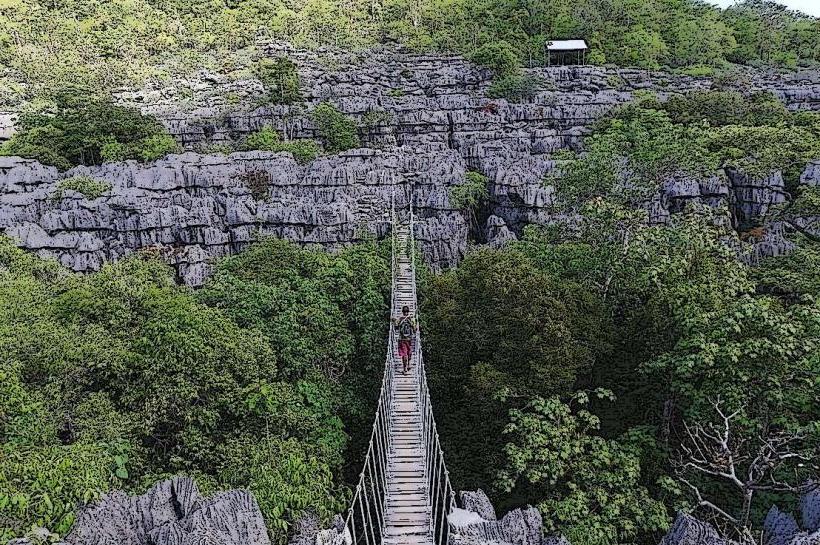
Visitors can engage in walking along designated trails that navigate through the formations. Photography is a primary activity, capturing the unique geological structures and color contrasts. Observation from specific viewpoints offers panoramic perspectives of the eroded landscape.
Infrastructure & Amenities
Basic restroom facilities, often pit latrines, may be available near the entrance. Shade is limited throughout the site. Cell phone signal coverage is intermittent and generally weak (2G/3G). Very limited food and drink vendors operate at the entrance; it is advisable to bring personal provisions.
Best Time to Visit
The dry season, from May to November, offers the most favorable conditions for visiting, ensuring better road access and more comfortable temperatures. For photography, early morning or late afternoon provides softer light, enhancing the colors of the formations and avoiding the harsh midday sun.
Facts & Legends
The term "Tsingy" in Malagasy refers to a place where one cannot walk barefoot due to the sharp, jagged nature of the rock formations. The fragility of the lateritic structures means they are continuously shaped by natural forces, making the landscape dynamic and ever-changing.
Nearby Landmarks
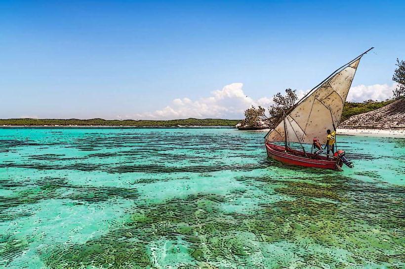
- Irodo River: 0.5km East
- Grand Tsingy Viewpoint (within the complex): 0.2km North
- Petit Tsingy Viewpoint (within the complex): 0.3km South