City: Barrington
Country: USA Rhode Island
Continent: North America
Barrington, USA Rhode Island, North America
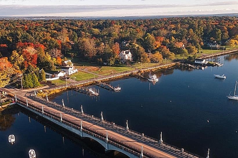
Barrington is a suburban residential town located in Bristol County on the eastern shore of Narragansett Bay. It serves as a high-income bedroom community for the Providence metropolitan area and a recreational maritime hub situated on a peninsula between the Barrington and Warren Rivers.
Historical Timeline
The town was originally settled as part of Swansea, Massachusetts, in 1670 before being incorporated as Barrington in 1717. Governance shifted from Massachusetts to Rhode Island in 1747, with a brief period of annexation to Warren (1747–1770) before regaining independence. The primary event shaping the current urban form was the mid-20th-century post-war suburbanization, which replaced the 19th-century brick-making industry and agricultural tracts with planned residential subdivisions.
Demographics & Population
The total population is approximately 17,153. The top three ethnic demographics are White (89.2%), Asian (5.1%), and Two or More Races (3.2%). The median age is 44.1 years.
Urban Layout & Key Districts
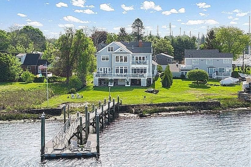
The town is organized around a central commercial spine along County Road (Route 114). The Town Center (Central) contains the primary civic and retail infrastructure. Nayatt (Southwest) is an affluent coastal district characterized by large estates and the Rhode Island Country Club, while Hampden Meadows (East) is a primary residential zone bounded by the Palmer River.
Top City Landmarks
Barrington Town Hall (Medieval Revival architecture)
Rhode Island Country Club
Barrington Public Library
Osamequin Nature Preserve
Belton Court
Transportation Network
Movement is primarily by private vehicle. The Rhode Island Public Transit Authority (RIPTA) Route 60 provides frequent bus service between Providence and Newport along the main corridor. No metro or tram systems exist. The East Bay Bike Path runs through the town center, serving as a major non-motorized transit artery. Uber and Lyft availability is high. Taxis are typically dispatched from East Providence or Warren.
Safety & "Red Zones"
The safety level is extremely high. There are no identified "red zones" or neighborhoods to avoid at night. The town consistently ranks among the safest municipalities in the state.
Digital & Financial Infrastructure
Average internet speed is 400 Mbps via Cox or Verizon. Mobile carriers include Verizon, AT&T, and T-Mobile. Card acceptance is universal at all commercial establishments. ATMs are concentrated in the shopping plazas along County Road.
Climate & Air Quality
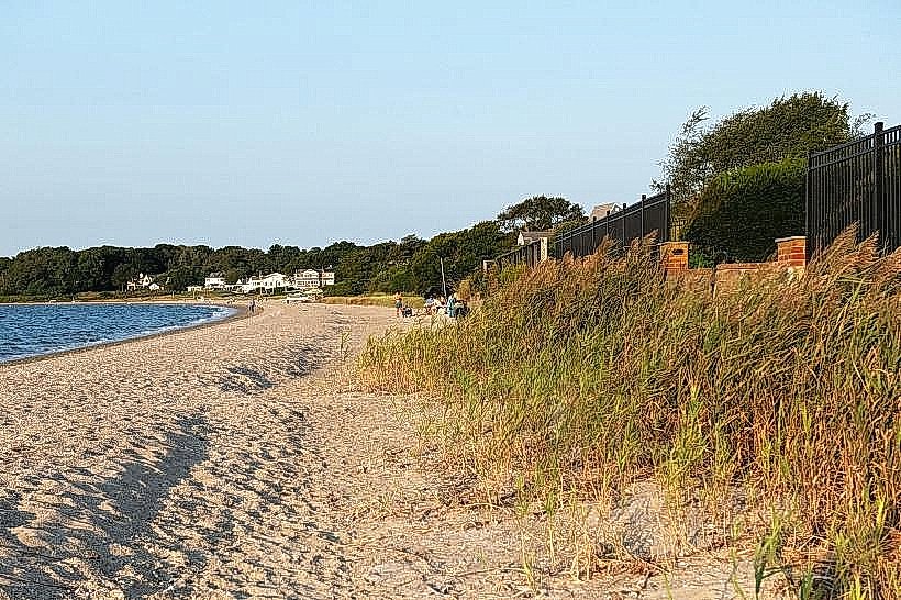
Winter temperatures range from -5°C to 4°C; summer temperatures range from 19°C to 28°C. Air quality is consistently high. Weather risks include tidal flooding in the Rumstick and Bay Spring areas during winter Nor'easters or Atlantic hurricanes.
Culture & Social Norms
Tipping is expected at 20% for service. Greetings are polite and informal. Dress code is "suburban casual" or "preppy." Barrington was a "dry" town for over a century; while alcohol sales are now permitted in restaurants, retail liquor stores are still prohibited within town limits (residents must purchase in neighboring Warren or Seekonk).
Accommodation Zones
Stay in the Town Center for walking access to the East Bay Bike Path and local dining. Stay near the Barrington River for maritime views and proximity to the yacht club.
Local Cost Index
1 Espresso: USD 4.50
1 Standard Lunch: USD 22.00
1 Bus Ticket: USD 2.00 (RIPTA)
Nearby Day Trips
Providence, RI (15 km)
Bristol, RI (12 km)
Newport, RI (35 km)
Fall River, MA (20 km)
Facts & Legends
A verified historical oddity is the "Barrington Brick," produced by the Barrington Steam Brick Company in the 19th century; these bricks were used to construct significant parts of Harvard University and the New York City subway system. Local lore includes sightings of "The Lady in White" near the Prince's Hill Cemetery, purportedly a 19th-century resident searching for a lost child.