Landmark: Barrington Riverwalk
City: Barrington
Country: USA Rhode Island
Continent: North America
Barrington Riverwalk, Barrington, USA Rhode Island, North America
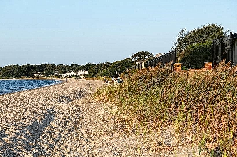
The Barrington Riverwalk is a paved pedestrian and bicycle path situated along the Barrington River in Barrington, Rhode Island, USA.
It provides access to the riverfront and surrounding natural areas.
Visual Characteristics
The Riverwalk is a 3-meter wide asphalt path. It is bordered by mown grass and native vegetation, including trees such as oak and maple. The river itself is typically brown to green, depending on recent rainfall and algae bloom. The terrain is generally flat with a slight incline in some sections.
Location & Access Logistics
The Barrington Riverwalk is located approximately 1.5 kilometers south of the Barrington town center. Access is primarily from the parking area at the end of County Road. Additional parking is available at the intersection of County Road and Rumstick Road. Public transport options are limited; the nearest bus stop for the RIPTA Route 60 is located 2 kilometers north of the main access point.
Historical & Ecological Origin
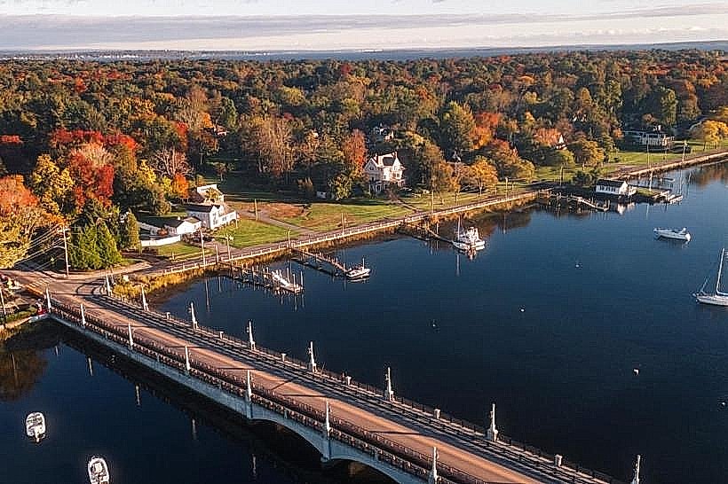
The Barrington Riverwalk was developed in phases, with the initial section opening in 2005. It was constructed on land formerly used for agricultural purposes and later as a public access point to the river. Ecologically, the area is part of the Narragansett Bay watershed, supporting tidal marsh and riparian habitats.
Key Highlights & Activities
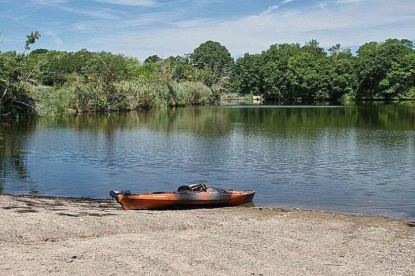
Walking, jogging, and cycling are the primary activities. Birdwatching is possible along the riverbanks. Fishing is permitted from designated points, subject to state regulations. Kayak and canoe launch points are available at the southern end of the Riverwalk.
Infrastructure & Amenities
Restrooms are located at the County Road parking area. Benches are situated at intervals along the path, providing seating. Shade is provided by mature trees. Cell phone signal (4G/5G) is generally consistent along the Riverwalk. No food vendors are present directly on the Riverwalk; options are available in the nearby town center.
Best Time to Visit
For photography, early morning or late afternoon offers optimal lighting conditions. The months of May through October provide the most favorable weather for outdoor activities. High tide can increase the visibility of tidal marsh features.
Facts & Legends
Local lore suggests that during the colonial era, this section of the river was used for smuggling. A specific historical oddity is the presence of remnants of an old stone bridge foundation visible at low tide near the southern terminus of the Riverwalk.
Nearby Landmarks
- Barrington Public Library (1.2km North)
- Town Hall Park (1.4km North)
- Barrington Yacht Club (0.8km Southwest)
- Rosemary Park (1.8km Northeast)