Landmark: Barrington Town Beach
City: Barrington
Country: USA Rhode Island
Continent: North America
Barrington Town Beach, Barrington, USA Rhode Island, North America
Barrington Town Beach is a public access shoreline located in Barrington, Rhode Island. It provides a coastal recreational area for local residents and visitors.
Visual Characteristics
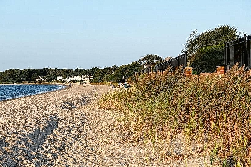
The beach consists of a sandy shoreline approximately 0.2 kilometers in length. The sand is a light brown, medium-grain texture. The water is typically a muted blue-green, influenced by Narragansett Bay. Coastal vegetation, primarily dune grass and low shrubs, borders the landward side of the beach.
Location & Access Logistics
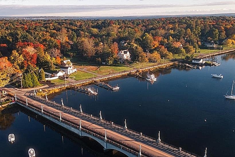
Barrington Town Beach is situated at the southern end of Barrington, Rhode Island. Access is via Rumstick Road, which leads directly to the beach parking area. The beach is approximately 5 kilometers south of Barrington's town center. Parking is available in a designated lot with a capacity for approximately 50 vehicles; fees may apply during peak season. Public transport options are limited; the nearest bus stop is on County Road, requiring a 1.5 kilometer walk to the beach.
Historical & Ecological Origin
The area is a natural accumulation of sand and sediment deposited by tidal action within Narragansett Bay. It functions as a coastal intertidal zone, supporting a specific ecosystem adapted to saline conditions and wave action.
Key Highlights & Activities
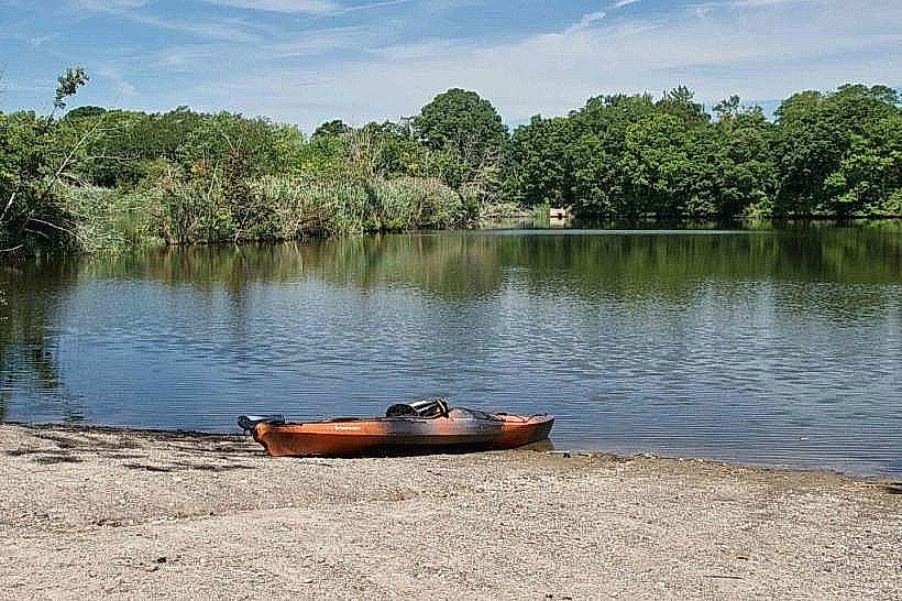
Activities include sunbathing, swimming, and beachcombing. Kayaking and paddleboarding are possible, particularly during calmer tidal periods. No specific trails are designated on the beach itself.
Infrastructure & Amenities
Restrooms are available on-site. Limited shade is provided by natural vegetation. Cell phone signal (4G/5G) is generally reliable. No food vendors are permanently located at the beach; visitors should bring their own provisions.
Best Time to Visit
For photography, early morning or late afternoon offers softer light. The months of June through August provide the warmest water temperatures for swimming. Tidal charts should be consulted for optimal beach access, as some areas can be submerged during high tide.
Facts & Legends
Local lore suggests that during the colonial era, small vessels would anchor offshore, using the beach as a discreet point for trade. A specific historical oddity is the presence of numerous smooth, rounded stones, often referred to as "sea beans," which are popular for collecting.
Nearby Landmarks
- Oakland Beach (1.2km Northwest)
- Colt State Park (3.5km Southwest)
- Bristol Town Common (4.8km South)
- Coggeshall Farm Museum (4.2km Southwest)