Landmark: Brickyard Pond
City: Barrington
Country: USA Rhode Island
Continent: North America
Brickyard Pond, Barrington, USA Rhode Island, North America
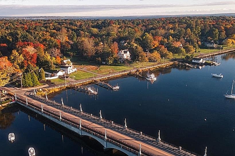
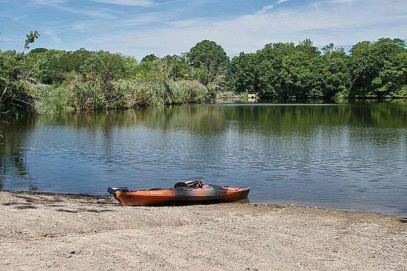
Brickyard Pond is a 40-acre freshwater pond located in Barrington, Rhode Island. It serves as a significant local water body and recreational area.
Visual Characteristics
The pond's surface is typically calm, reflecting the surrounding vegetation. The shoreline is characterized by a mix of sandy areas and rocky outcrops. Aquatic vegetation is present, particularly in shallower sections. The water color varies from greenish-brown to a clearer brown depending on recent rainfall and sediment disturbance.
Location & Access Logistics
Brickyard Pond is situated approximately 1.5 kilometers west of Barrington town center. Access is primarily from the intersection of County Road and Sowams Road. Parking is available at a designated lot off County Road, with capacity for approximately 30 vehicles. Public transport options are limited; the nearest bus stop for the RIPTA Route 60 is located 2 kilometers east on Main Street.
Historical & Ecological Origin
Brickyard Pond was formed by glacial meltwater approximately 10,000 years ago. Its name derives from the historical brick manufacturing operations that utilized the clay deposits along its banks in the late 19th and early 20th centuries. The pond is classified as a kettle pond, a depression formed by a buried ice block melting.
Key Highlights & Activities
Activities include fishing for bass and perch, kayaking, and birdwatching. Designated areas along the western shore are suitable for launching small watercraft. No formal trails exist, but informal paths follow sections of the shoreline.
Infrastructure & Amenities
A small, unpaved parking area is present. No public restrooms or food vendors are located directly at the pond. Cell phone signal (4G) is generally available in the vicinity.
Best Time to Visit
For photography, early morning or late afternoon offers softer light. The months of May through October provide the most favorable weather conditions for outdoor activities. Water levels are generally stable year-round, with no specific tide considerations.
Facts & Legends
Local lore suggests that during the brick-making era, discarded bricks were sometimes used to create informal jetties, remnants of which can occasionally be found submerged near the original brickyard site.
Nearby Landmarks
- Rumstick Point (1.2km Southwest)
- Barrington Public Library (1.8km East)
- Coggeshall Farm Museum (3.5km Southeast)
- Bristol Ferry Light (4.0km South)