Landmark: Tyler Point
City: Barrington
Country: USA Rhode Island
Continent: North America
Tyler Point, Barrington, USA Rhode Island, North America
Tyler Point is a significant geographical feature located in Barrington, Rhode Island, USA.
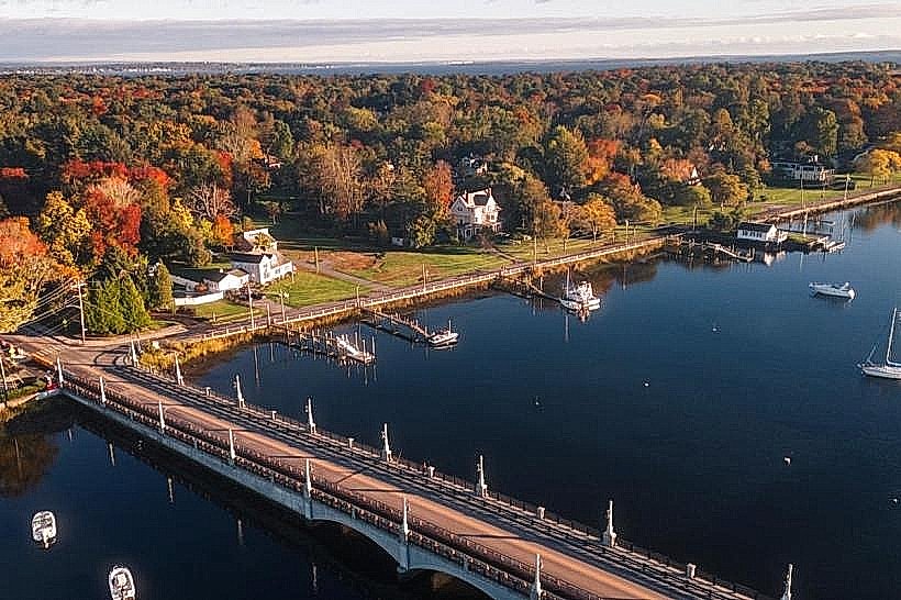
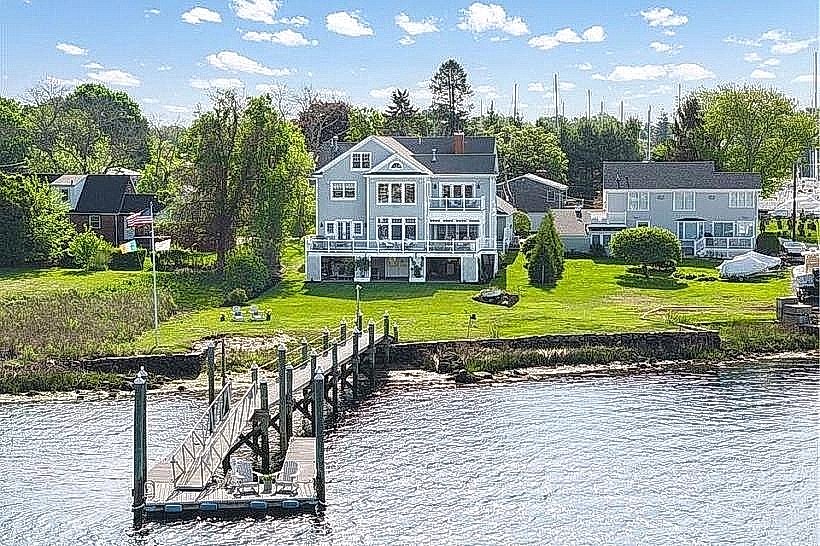
This promontory extends into Narragansett Bay, offering distinct coastal topography.
Visual Characteristics
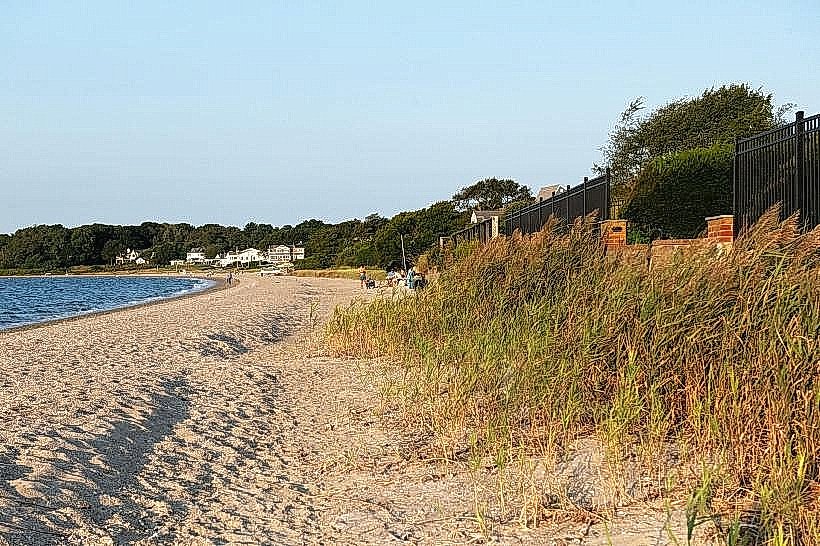
Tyler Point is characterized by its rocky shoreline and mixed deciduous and coniferous vegetation. The terrain is moderately sloped, with exposed bedrock formations visible along the water's edge. The water color varies with tidal conditions and sediment load, typically appearing as a muted blue-grey.
Location & Access Logistics
Tyler Point is situated at the southern tip of Barrington, Rhode Island. Access is via Tyler Point Road, which branches off from County Road. The point is approximately 3 kilometers south of Barrington town center. Limited on-street parking is available along Tyler Point Road, with no designated parking lot. Public transport options are not directly available to the point; the nearest bus stop is located at the intersection of County Road and Maple Avenue, requiring a 1.5 km walk.
Historical & Ecological Origin
The geological origin of Tyler Point is primarily glacial deposition and subsequent erosion by tidal action. It represents a terminal moraine deposited during the last glacial period. Ecologically, it functions as a coastal headland supporting a transition zone between terrestrial and marine environments.
Key Highlights & Activities
Observation of tidal patterns is a primary activity. The shoreline provides opportunities for rock scrambling. Birdwatching is possible, particularly during migratory seasons. No formal trails are maintained.
Infrastructure & Amenities
No public restrooms are available at Tyler Point. Natural shade is provided by the tree cover. Cell phone signal (4G/5G) is generally present but can be intermittent closer to the water. No food vendors are located at the point; nearest amenities are in Barrington town center.
Best Time to Visit
For photography, early morning or late afternoon light offers optimal illumination of the shoreline features. The months of May through October provide the most favorable weather conditions. Tidal charts should be consulted for specific viewing of exposed rock formations.
Facts & Legends
Local historical records indicate that Tyler Point was a strategic observation post during the American Revolutionary War, though no fortifications remain. A persistent local anecdote suggests that during exceptionally low tides, remnants of an old stone wall, possibly from colonial-era land division, become visible.
Nearby Landmarks
- Barrington Public Library (1.8km Northwest)
- Rosemary Park (2.1km North)
- Barrington Yacht Club (1.2km West)
- Bristol Ferry Light (3.5km Southeast)