City: Machakos
Country: Kenya
Continent: Africa
Machakos, Kenya, Africa
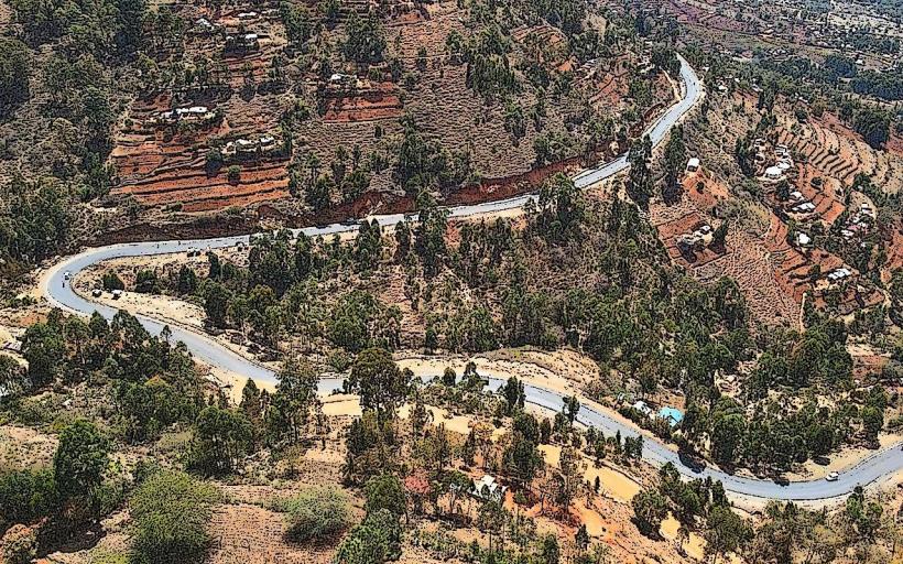
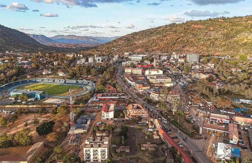
Machakos is the administrative capital of Machakos County and the historical center of the Akamba people. It is situated at an elevation of 1,138 meters, approximately 63 kilometers southeast of Nairobi, surrounded by a ring of scenic hills.
Historical Timeline
Machakos was established in 1887 as the first administrative center for the British East Africa Company. It served as the capital of Kenya until 1899, when the colonial administration moved to Nairobi to follow the path of the Uganda Railway. The primary event shaping its modern urban form was the 2013 "Machakos City" initiative, which introduced massive infrastructure upgrades, including the Machakos People's Park, making it a pioneer in decentralized urban development.
Demographics & Population
The estimated metropolitan population for 2026 is 215,000. The demographics are predominantly Kamba. The city has a high population of commuters who work in Nairobi but reside in Machakos due to its lower cost of living and improved infrastructure. The median age is approximately 20.8 years.
Urban Layout & Key Districts
The city is organized along the Kyumbi-Machakos road (C99), which connects to the main Mombasa-Nairobi highway.
The CBD: A bustling commercial hub with a mix of modern offices and traditional markets.
Mulu Mutisya District: The administrative zone containing government offices.
Grogon: The industrial and artisan sector.
Machakos Greens: A newer, high-end residential area focused on gated communities.
Top City Landmarks
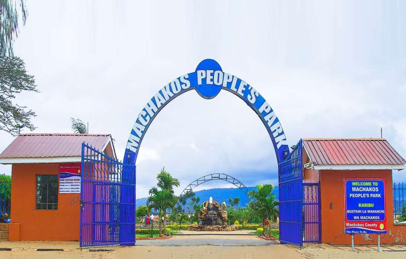
Machakos People's Park: A large recreational park featuring an amphitheater, dancing fountains, and a man-made lake.
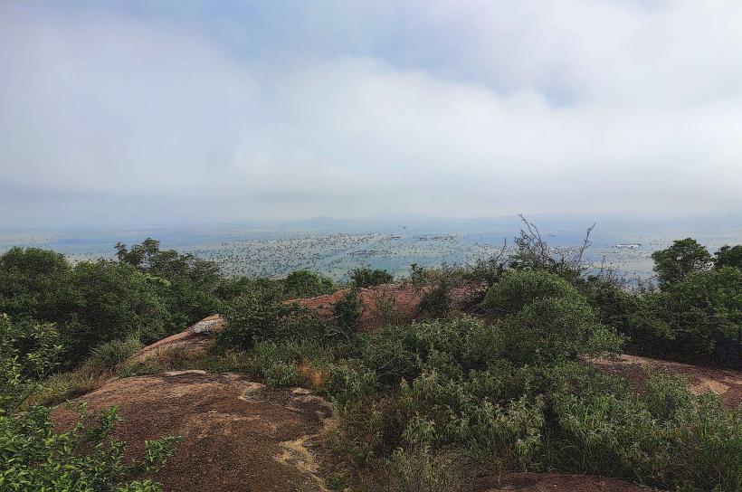
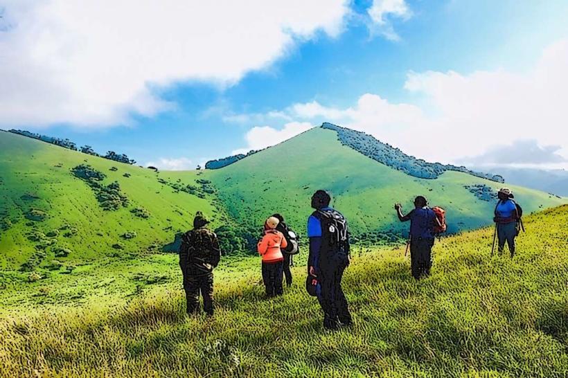
Iveti Hills: A range of hills offering hiking trails and panoramic views of the county.
Machakos Stadium: A modern sports facility that hosts national league matches.
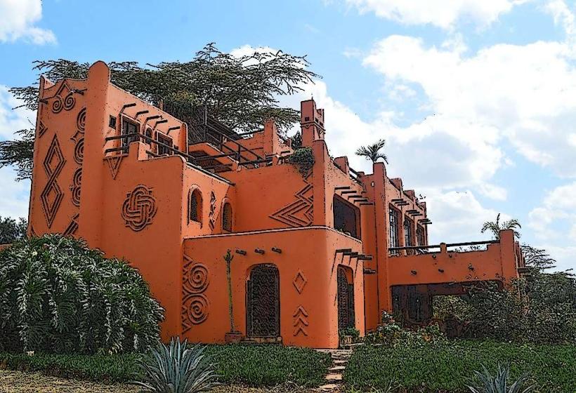
Masaku Cultural Center: A hub for Akamba heritage and traditional arts.
Kyumbi (The Junction): The critical entry point connecting the town to the Nairobi-Mombasa highway.
Transportation Network
Intra-city transit is managed by Matatus, Boda Bodas, and Tuk-tuks. Machakos is a major transit node for travelers moving between Nairobi and the eastern regions (Kitui, Makueni). The Machakos-Nairobi highway (Thika Road-standard) allows for a 1-hour commute to the capital. There is no rail service directly in the town; the nearest SGR station is in Athi River.
Safety & "Red Zones"
The general safety level is high. Petty theft is common in the main bus terminal and the open-air market. There are no specific "red zones," but travelers should avoid poorly lit areas in the outskirts after dark. Road safety is a concern at the Kyumbi junction due to high-speed transit traffic.
Digital & Financial Infrastructure
Internet speeds average 30–45 Mbps. Main carriers are Safaricom and Airtel. M-Pesa is the standard for almost all local transactions. ATMs are concentrated along the main streets and within Mulley’s Supermarket hubs and Naivas. Credit card acceptance is limited to supermarkets and established hotels.
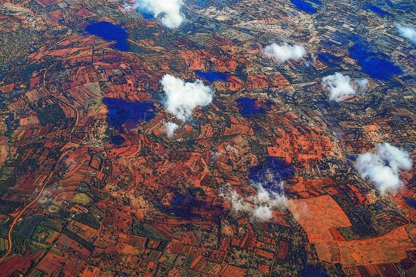
Climate & Air Quality
Temperatures range from 12°C to 28°C. The climate is semi-arid but tempered by the surrounding hills. Air quality is high. Significant weather risks include localized droughts and occasional flash floods in the valleys during the rainy season.
Culture & Social Norms
English and Swahili are used for business; Kikamba is the primary local language. The culture is famous for Akamba woodcarving and traditional music. Tipping is standard at 5–10% in urban cafes. Shaking hands is the standard greeting.
Accommodation Zones
Town Center: Recommended for business transit and access to government services.
Hillside/Outskirts: Recommended for luxury resorts and scenic views of the Iveti Hills.
Local Cost Index
1 Espresso: 220 KES ($1.45 USD)
1 Standard Lunch (Muthokoi/Beef): 600 KES ($3.90 USD)
1 Short Boda Boda Trip: 100 KES ($0.65 USD)
Nearby Day Trips
Ol Donyo Sabuk: 45 km (Mountain hiking).
Kitui Mutomo Plant Sanctuary: 80 km (Rare plant species and rock outcrops).
Maanzoni Sanctuary: 25 km (Wildlife viewing on the plains).
Facts & Legends
Machakos is known as "Masaku," named after a powerful Akamba chief and seer. A local legend at Kyamwilu (Gravity Hill), 10 km from the town, claims that water flows uphill due to a gravitational anomaly; scientists attribute this to an optical illusion caused by the surrounding landscape. A verified historical oddity is that Machakos was a major supplier of woodcarvings to the world during the 20th century, with a dedicated "Carvers' Cooperative" that still operates today.