Landmark: Iveti Hills
City: Machakos
Country: Kenya
Continent: Africa
Iveti Hills, Machakos, Kenya, Africa
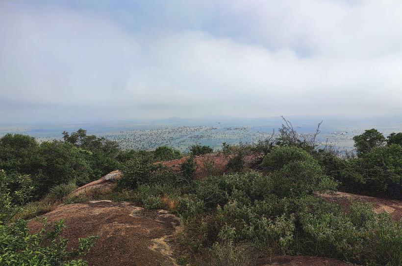
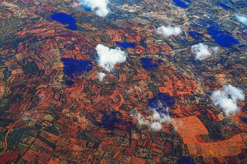
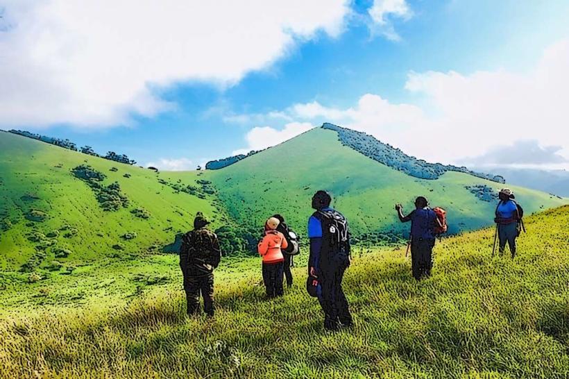
Iveti Hills is a geological formation located in Machakos County, Kenya. It is a prominent series of hills rising from the surrounding plains.
Visual Characteristics
The hills are characterized by exposed rock faces, primarily granite. Vegetation is sparse, consisting of scattered acacia trees and dry grasses. The slopes are steep in many areas, with some sections featuring sheer rock outcrops. Elevation varies, with the highest points reaching approximately 1,800 meters above sea level.
Location & Access Logistics
Iveti Hills is situated approximately 10 kilometers southwest of Machakos town. Access is via the C102 road, turning off onto a dirt track approximately 5 kilometers from the town center. The dirt track is passable by 2WD vehicles in dry conditions but 4WD is recommended, especially after rainfall. Parking is available at the base of the main ascent points. There are no direct public transport routes to the hills; visitors typically arrange private transport from Machakos town.
Historical & Ecological Origin
Iveti Hills are composed of ancient Precambrian basement rocks, primarily granitic gneiss. Their formation is a result of long-term geological uplift and erosion processes. Ecologically, the area represents a semi-arid savanna environment.
Key Highlights & Activities
Hiking is the primary activity, with several informal trails leading to the summits. Rock climbing opportunities exist on the exposed granite faces. Birdwatching is possible, with species adapted to arid environments present. Panoramic views of Machakos town and the surrounding landscape are available from higher elevations.
Infrastructure & Amenities
There are no formal facilities at Iveti Hills. Restrooms, shade, and food vendors are not present at the site. Cell phone signal (4G/5G) is intermittent and generally weak, particularly on the slopes and at higher elevations.
Best Time to Visit
The best time for visiting is during the dry season, from June to October, to ensure easier access and clearer visibility. Early morning or late afternoon provides optimal lighting for photography due to the angle of the sun. Midday temperatures can be high.
Facts & Legends
Local folklore suggests that the hills are the resting place of ancient spirits. A specific rock formation resembling a seated figure is often pointed out as a significant site. Visitors are advised to carry sufficient water and sun protection.
Nearby Landmarks
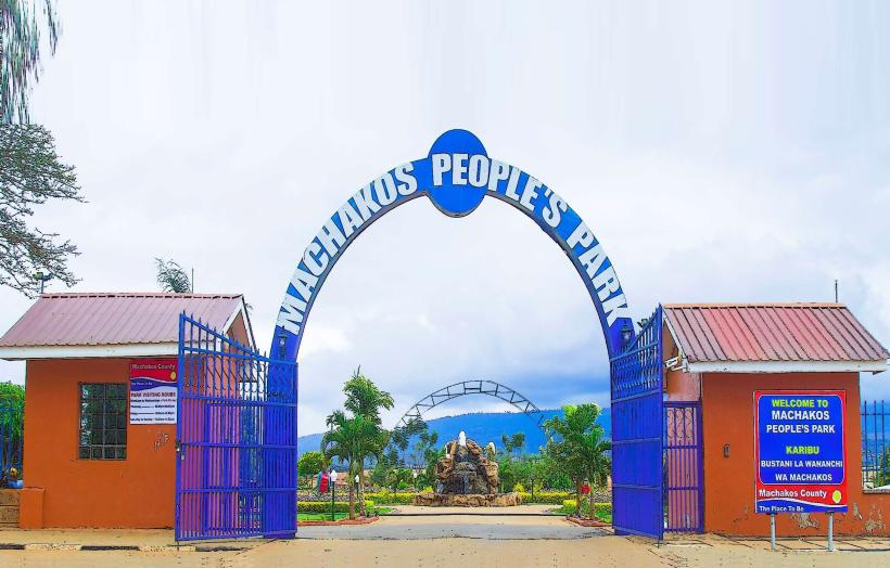
- Machakos People's Park (3km Northeast)
- Machakos Museum (6km Northeast)
- Kithimani Hills (15km Northwest)
- Masinga Dam (30km East)