Landmark: Lukenya Hills
City: Machakos
Country: Kenya
Continent: Africa
Lukenya Hills, Machakos, Kenya, Africa
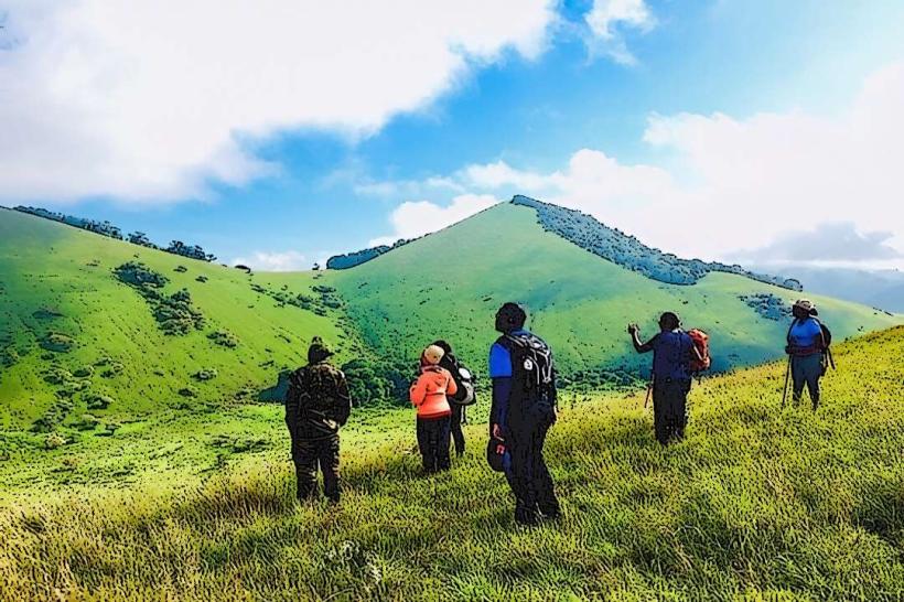
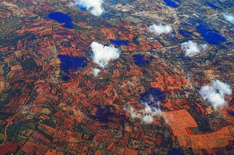
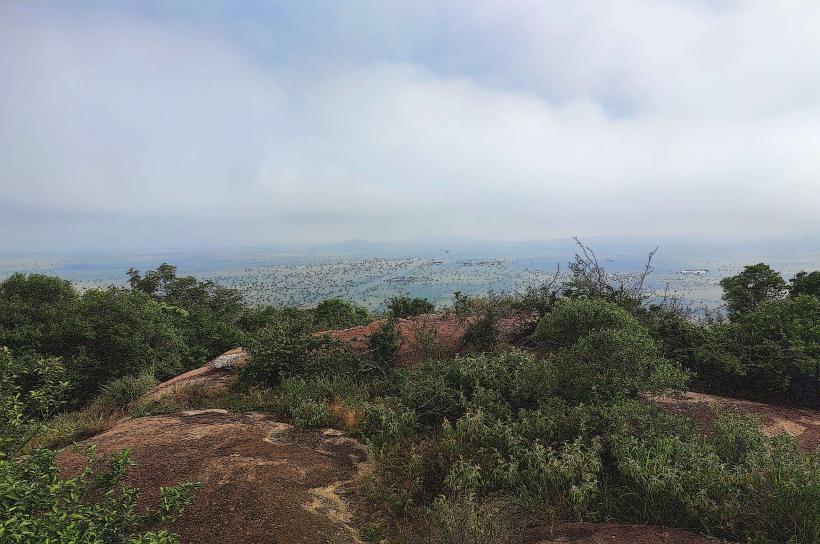
Lukenya Hills is a geological formation located in Machakos County, Kenya. This area features a series of rocky outcrops and hills.
Visual Characteristics
The landscape consists of weathered granite hills and rock formations. Vegetation is sparse, primarily consisting of dry-season-resistant shrubs and acacia trees. The terrain is characterized by exposed rock surfaces and sandy soil.
Location & Access Logistics
Lukenya Hills is situated approximately 30 kilometers southeast of Nairobi's central business district. Access is via the Mombasa Road (A104), turning off onto the Kangundo Road (B12). The final approach involves unpaved roads, requiring a vehicle with adequate ground clearance. Parking is available at designated informal pull-off points near the base of the hills. Public transport options are limited; matatus (minibuses) serving Kangundo may drop passengers at the turn-off, requiring a further walk or taxi hire.
Historical & Ecological Origin
The hills are composed of Precambrian basement rocks, primarily granite, formed through geological processes over millions of years. The area is classified as a semi-arid savanna ecosystem, adapted to low rainfall and high temperatures.
Key Highlights & Activities
Rock climbing and bouldering are primary activities, with established routes for various skill levels. Hiking trails traverse the hills, offering views of the surrounding plains. Birdwatching is possible, with species adapted to the dry environment present.
Infrastructure & Amenities
There are no formal facilities within Lukenya Hills. Restrooms, food vendors, and shade are absent. Cell phone signal (4G/5G) is intermittent and generally weak within the hills themselves, though stronger on the approach roads.
Best Time to Visit
The best time for outdoor activities is during the dry seasons, from June to October and December to February. Early morning or late afternoon provides optimal lighting for photography and reduces exposure to midday heat. There are no tidal considerations.
Facts & Legends
Local folklore suggests that certain rock formations within Lukenya Hills were once used as lookout points by ancient Maasai warriors. A specific large, flat rock surface is known locally as "The Table," often used as a gathering point.
Nearby Landmarks
- Kituluni Hill (0.8km West)
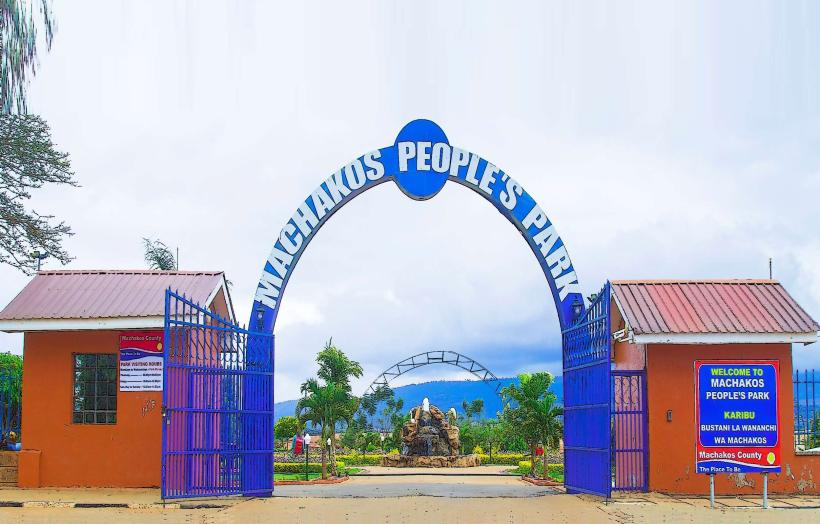
- Machakos People's Park (12km Southeast)
- Oloolua Nature Trail (25km Northwest)
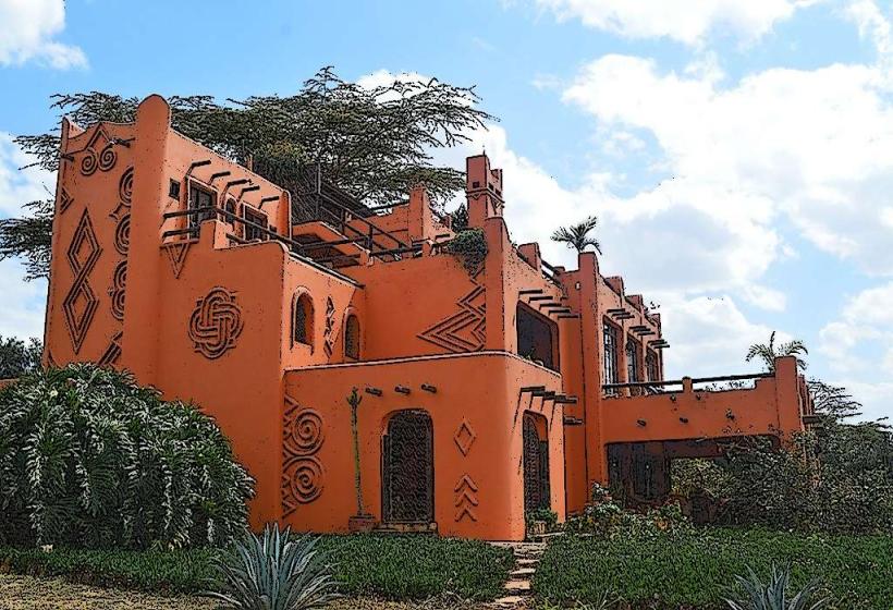
- Karen Blixen Museum (28km Northwest)