Landmark: Antelope Island State Park
City: Salt Lake City
Country: USA Utah
Continent: North America
Antelope Island State Park, Salt Lake City, USA Utah, North America
Antelope Island State Park is a protected area situated in the Great Salt Lake, accessible from Davis County, Utah, USA.
Visual Characteristics
The island features a central mountain range composed of Precambrian rock, with elevations reaching 6,596 feet (2,010 meters) at Frary Peak. The terrain consists of arid grasslands, sagebrush, and juniper woodlands. The shoreline is characterized by salt-encrusted beaches and shallow, saline waters of the Great Salt Lake, which exhibit varying shades of blue and pink depending on mineral content and light conditions. Wildlife, including bison, pronghorn, and various bird species, are commonly observed.
Location & Access Logistics
The park is located approximately 40 miles (64 km) northeast of Salt Lake City. Access is via Interstate 15 North to Exit 332, then following Antelope Island Road for approximately 7 miles (11 km) to the park entrance. A causeway connects the island to the mainland. Parking is available at various points throughout the park, including visitor centers and trailheads. Public transportation to the park is not available.
Historical & Ecological Origin
Antelope Island is the largest island in the Great Salt Lake. Its geological formation is primarily volcanic and sedimentary rock, dating back millions of years. The island was named by Captain Howard Stansbury in 1849 during his survey of the Great Salt Lake, after his party encountered a herd of pronghorn antelope. The park was established in 1981 to preserve its natural environment and provide recreational opportunities.
Key Highlights & Activities
Activities include wildlife viewing, particularly bison and pronghorn. Hiking trails are available, such as the Frary Peak Trail (8 miles roundtrip, strenuous) and the Lakeside Trail (3 miles, easy). Swimming in the Great Salt Lake is possible, though buoyancy is significantly increased due to salinity. Birdwatching is a popular activity, especially during migration seasons. Camping is permitted at designated campgrounds.
Infrastructure & Amenities
Restrooms are available at the visitor center and various picnic areas. Shade structures are present at some picnic sites. Cell phone signal (4G/5G) is generally available across the island, though it may be intermittent in more remote areas. Limited food and drink options are available at the visitor center during peak season; visitors are advised to bring their own supplies.
Best Time to Visit
The best time for wildlife viewing is early morning or late afternoon. Spring (April-May) and Fall (September-October) offer the most pleasant weather for outdoor activities, with average temperatures ranging from 50-70°F (10-21°C). Summer months (June-August) can be very hot, with temperatures exceeding 90°F (32°C). High tide is not a significant factor for access or activities on the island itself.
Facts & Legends
The Great Salt Lake is the remnant of ancient Lake Bonneville. The high salinity of the lake prevents most aquatic life, but brine shrimp and brine flies thrive, supporting a large population of migratory birds. A local legend suggests that the island is haunted by the ghost of a former rancher.
Nearby Landmarks
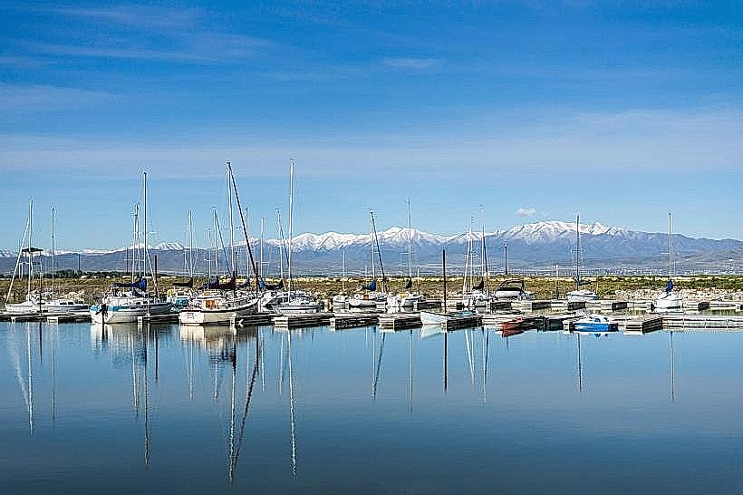
- Great Salt Lake Marina (0.5km West)
- Willard Bay State Park (25km North)
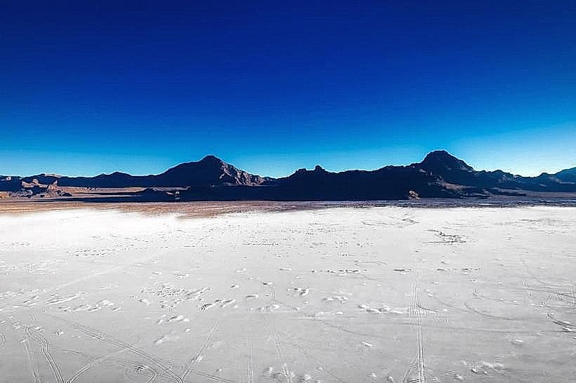
- Bonneville Salt Flats (70km West)
- Salt Lake City (40km South)
- Antelope Island Visitor Center (1km West)