Landmark: Bridger-Teton National Forest
City: Pinedale
Country: USA Wyoming
Continent: North America
Bridger-Teton National Forest, Pinedale, USA Wyoming, North America
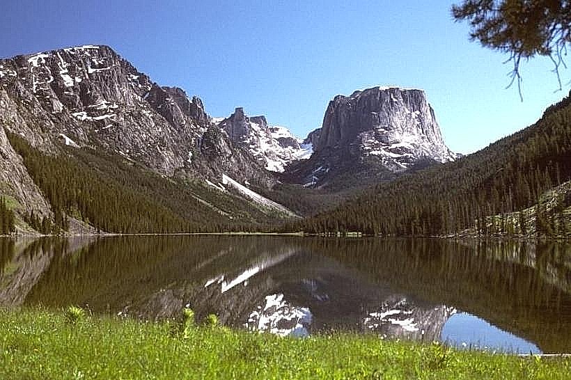
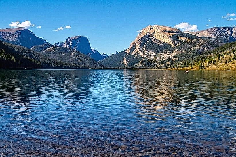
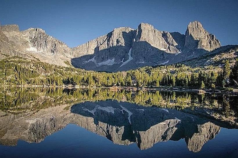
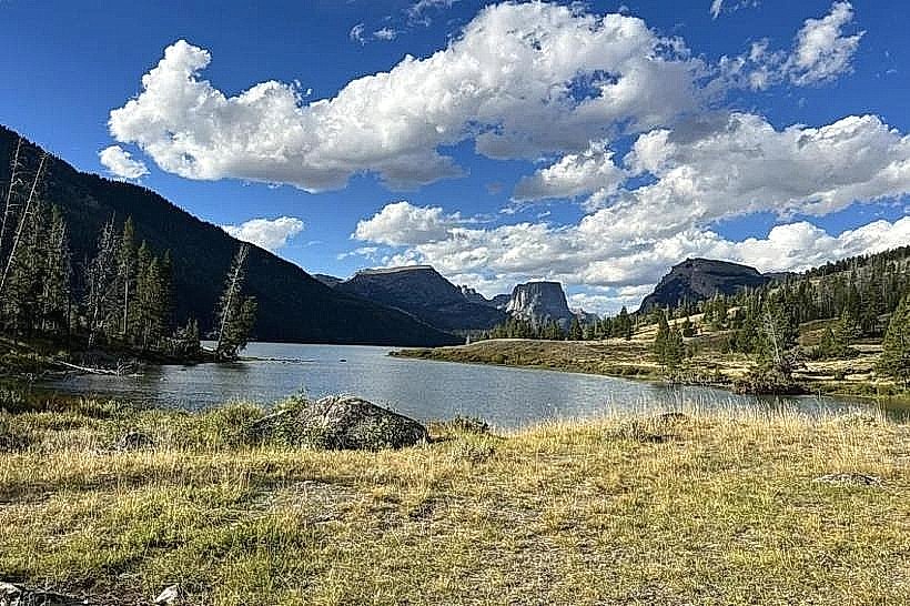
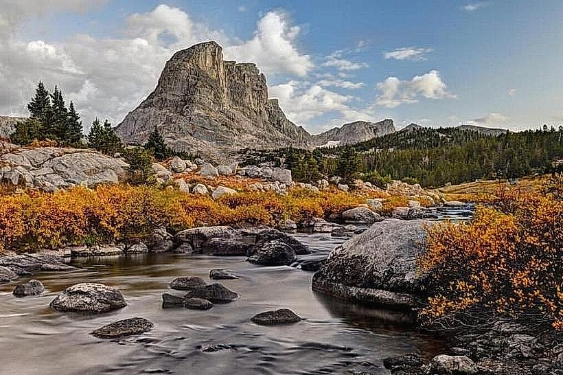
Bridger-Teton National Forest is a protected area in western Wyoming, USA. It encompasses a significant portion of the Greater Yellowstone Ecosystem.
Visual Characteristics
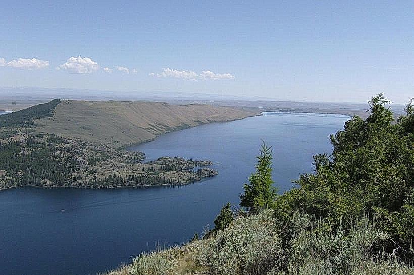
The forest features varied topography, including alpine peaks, high-elevation meadows, and dense coniferous forests. Elevations range from approximately 6,000 feet to over 13,000 feet. Dominant tree species include lodgepole pine, subalpine fir, and Engelmann spruce. Rock formations are primarily sedimentary and igneous, with granite prevalent in the Teton Range. Water bodies include glacial lakes, rivers, and streams, often with clear, cold water.
Location & Access Logistics
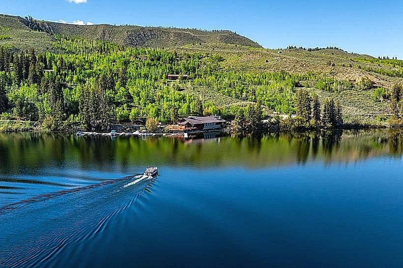
Bridger-Teton National Forest is located in western Wyoming, bordering Grand Teton National Park and Yellowstone National Park. The nearest significant town is Pinedale, approximately 30 miles east of the forest's western boundary. Access is via US Highway 191, Wyoming Highway 352, and numerous Forest Service roads. Paved roads provide access to popular trailheads and campgrounds. Unpaved roads may require high-clearance or four-wheel-drive vehicles, especially during certain seasons. Parking is available at designated trailheads and visitor centers; availability varies by location and time of year. Public transport is limited; private vehicle is the primary mode of access.
Historical & Ecological Origin
The forest was established in its current form through various acts and consolidations, with significant portions dating back to the early 20th century. It is part of a vast landscape shaped by glacial activity and tectonic uplift. Ecologically, it represents a critical component of the Greater Yellowstone Ecosystem, supporting a wide array of wildlife and plant communities adapted to high-altitude environments.
Key Highlights & Activities
Activities include hiking on over 2,000 miles of trails, backcountry camping, fishing in rivers and lakes, wildlife viewing (elk, moose, bears, wolves), rock climbing, and horseback riding. Specific trails include the Teton Crest Trail and trails around the Wind River Range. Opportunities for hunting are managed under state regulations. Winter activities include snowshoeing and cross-country skiing.
Infrastructure & Amenities
The forest contains multiple developed campgrounds with amenities such as vault toilets and potable water at some locations. Picnic areas are available. Cell phone signal is intermittent and generally unavailable in remote areas. Limited food services and supplies are available in gateway communities like Pinedale and Jackson. Visitor centers provide information and maps.
Best Time to Visit
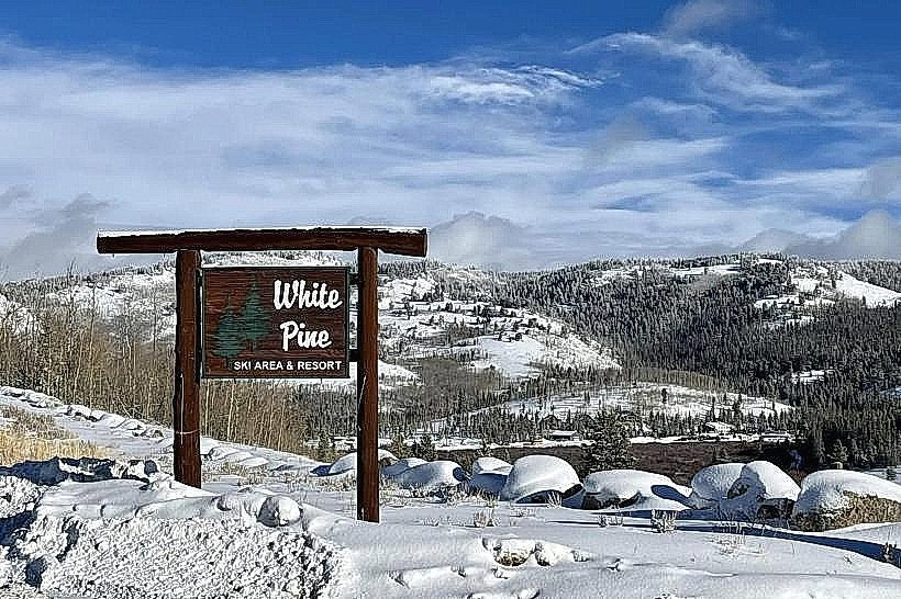
The primary visitor season is from June through September, when most roads and trails are snow-free. July and August offer the warmest weather. For photography, early morning and late afternoon light provides optimal conditions for landscape shots. High country trails may be accessible later into the fall. Winter access is restricted to snow-dependent travel.
Facts & Legends
The Teton Range within the forest is geologically young, with peaks still actively rising. A specific point of interest is the Titcomb Basin, known for its dramatic cirque of peaks and alpine lakes, accessible via a multi-day backpacking trip.
Nearby Landmarks
- Grand Teton National Park (0.1km North)
- John D. Rockefeller, Jr. Memorial Parkway (1km North)
- Caribou-Targhee National Forest (15km West)
- Shoshone National Forest (20km East)
- Yellowstone National Park (50km North)