Landmark: Upper Green River Valley
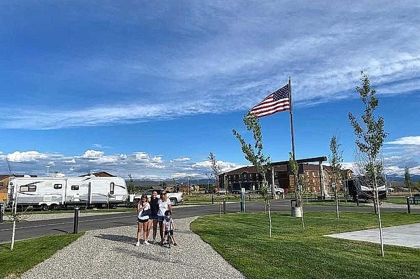
City: Pinedale
Country: USA Wyoming
Continent: North America
Upper Green River Valley, Pinedale, USA Wyoming, North America
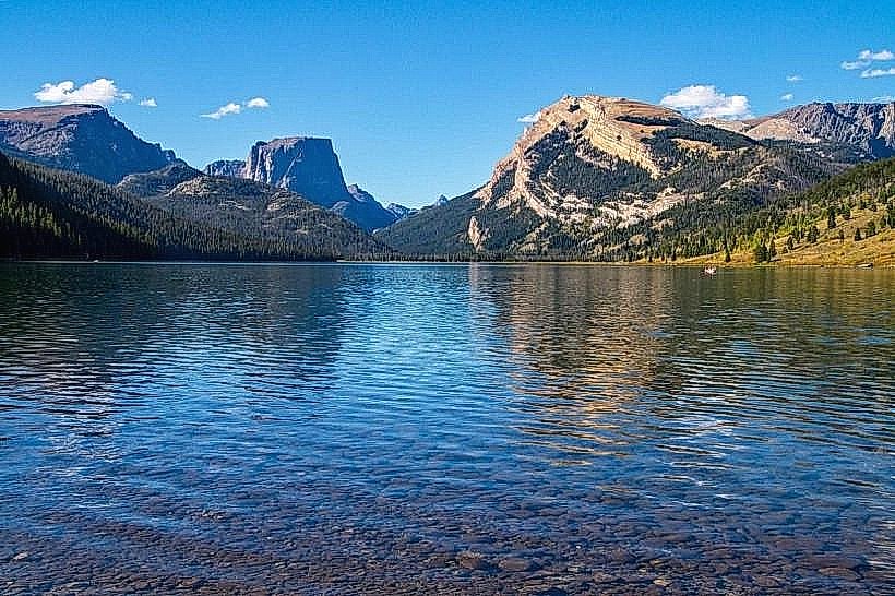
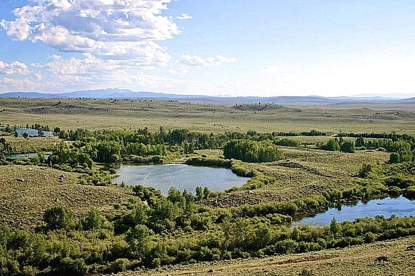
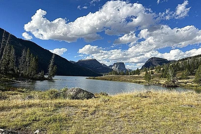
The Upper Green River Valley is a broad, glacially-carved valley located in western Wyoming, USA, adjacent to the town of Pinedale.
Visual Characteristics
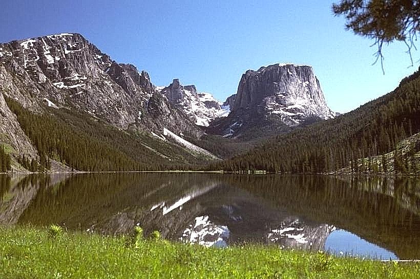
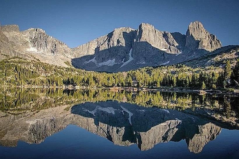
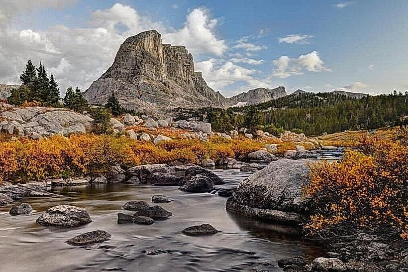
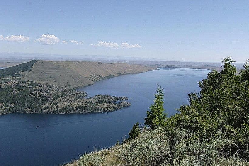
The valley floor is characterized by extensive sagebrush steppe, interspersed with riparian zones along the Green River and its tributaries. Elevations range from approximately 7,000 feet to over 10,000 feet in the surrounding mountain ranges. The terrain is generally flat to gently rolling in the valley bottom, rising steeply to the Wind River Range to the east and the Wyoming Range to the west. Water bodies, including the Green River, lakes, and reservoirs, exhibit clear to slightly turbid conditions depending on recent precipitation and sediment load. Vegetation is dominated by low-lying shrubs, grasses, and scattered cottonwood and willow stands in riparian areas.
Location & Access Logistics
The Upper Green River Valley is situated approximately 75 miles west of Lander, Wyoming, and 150 miles north of Rock Springs, Wyoming. Access is primarily via US Highway 191, which bisects the valley. Pinedale, the main service town, is located at the junction of US Highway 191 and Wyoming Highway 352. Ample parking is available at designated access points along the Green River and at trailheads for the Wind River Range. Public transportation options are limited; the nearest commercial airport is Jackson Hole Airport (JAC), approximately 75 miles northwest.
Historical & Ecological Origin
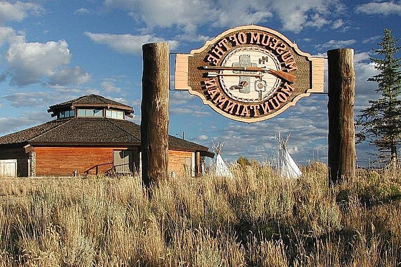
The valley's formation is primarily attributed to glacial erosion during past ice ages, with the Green River subsequently carving its course through the glacial outwash. Historically, the valley was a significant area for Native American tribes, including the Shoshone and Ute, and later became a focal point for the fur trade in the 19th century, notably the Rendezvous of 1833. Ecologically, it represents a high-altitude intermountain basin ecosystem.
Key Highlights & Activities
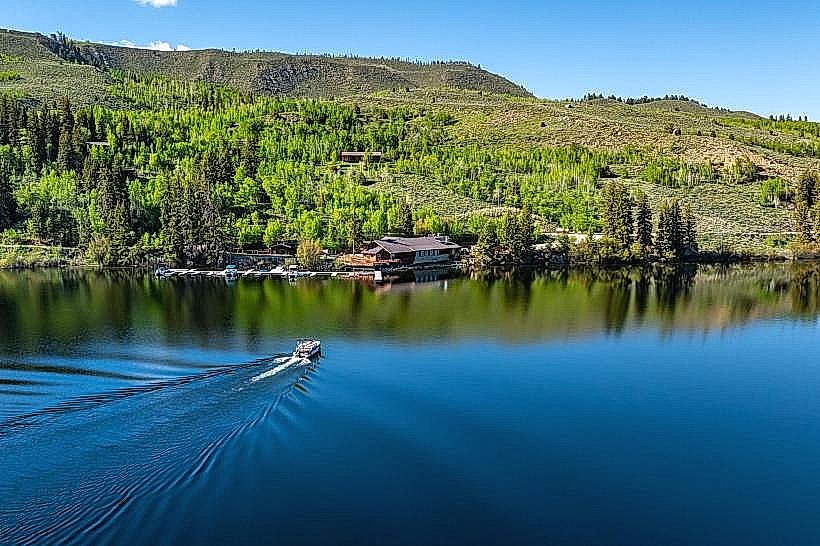
Activities include fishing for trout in the Green River and its tributaries, wildlife viewing (elk, pronghorn, deer, various bird species), hiking and backpacking in the adjacent Wind River Range, and camping. Kayaking and rafting are possible on sections of the Green River, particularly during spring runoff. Designated fishing access points and boat launches are present.
Infrastructure & Amenities
Restrooms are available at some developed access points and campgrounds. Shade is limited in the open valley, primarily found in riparian areas. Cell phone signal (4G/5G) is inconsistent and generally available only within Pinedale and at higher elevations with clear line-of-sight. Limited food vendors and services are available in Pinedale.
Best Time to Visit
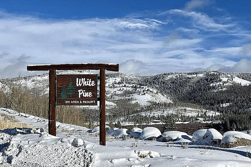
For fishing and wildlife viewing, late spring (May-June) and early fall (September-October) offer favorable conditions. Summer (July-August) provides the warmest weather for hiking and camping. Photography is best in the early morning and late afternoon for optimal lighting on the landscape. High water levels for rafting typically occur in May and June.
Facts & Legends
The Green River is the headwaters of the Colorado River system. A notable historical oddity is the annual Green River Rendezvous, a reenactment of the 19th-century fur trade gatherings, which draws significant crowds in July.
Nearby Landmarks
- Wind River Range (0.1km East)
- Pinedale (1km West)
- Green River Lakes (40km North)
- Bridger-Teton National Forest (Adjacent)
- National Bighorn Sheep Center (1km West)