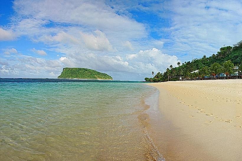
Landmark: Cape Tapaga
City: Lalomanu
Country: Samoa
Continent: Australia
Cape Tapaga, Lalomanu, Samoa, Australia
Cape Tapaga is a prominent volcanic headland marking the southeasternmost point of Upolu Island in Samoa. It forms the southern boundary of the Aleipata district and serves as a natural divide between the eastern and southern coastlines.
Visual Characteristics
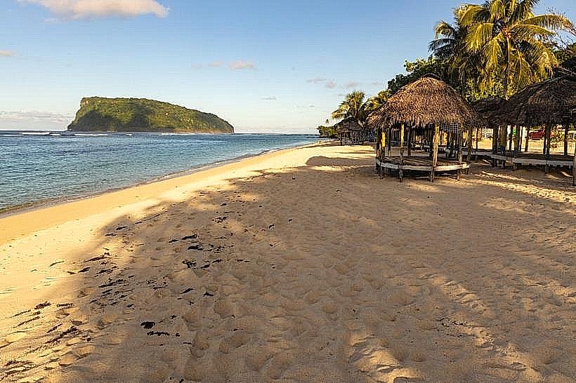
The cape is characterized by steep, jagged basalt cliffs that drop vertically into the Pacific Ocean. The terrain is covered in dense, wind-swept tropical scrub and coconut palms, with a rugged shoreline of black volcanic rock. The surrounding waters are characterized by deep indigo hues and high-energy surf where the open ocean meets the fringing reef.
Location & Access Logistics
The site is located approximately 58km from Apia at the junction of the Main South Coast Road and the Aleipata coast road. Access is via a narrow, unpaved track that leads from the main road toward the cliff edge near the village of Lalomanu. While the road is navigable by foot, a 4WD vehicle is recommended for driving to the highest vantage points.
Historical & Ecological Origin
Cape Tapaga was formed by ancient basaltic lava flows that solidified upon contact with the sea. It serves as a strategic navigational landmark for vessels traveling between the islands of Upolu and Tutuila. Ecologically, the cliffs provide nesting sites for various pelagic seabirds, including frigates and terns.
Key Highlights & Activities
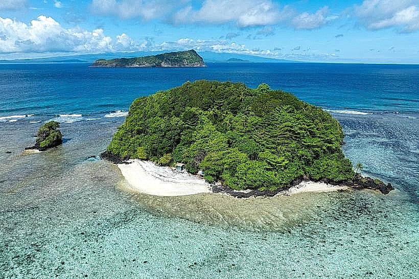
The primary activity is sightseeing and landscape photography from the elevated cliff tops. The site offers unobstructed views of the Aleipata Islands, specifically Nu’utele and Nu’ulua. Whale watching is possible from the cliffs during the migratory season (July to October), as Humpback whales pass close to the headland.
Infrastructure & Amenities
Infrastructure is minimal, with no formal viewing platforms or safety railings. There are no restrooms, food vendors, or shade structures at the cape itself. Cell phone signal is generally strong (4G/5G) due to the elevated position and proximity to the Lalomanu telecommunications towers.
Best Time to Visit
Sunrise provides the most dramatic lighting for photography, as the cape is the first part of the island to receive sunlight. The dry season is preferable for access, as the dirt tracks can become impassable during heavy tropical rain. High tide offers the most spectacular views of waves crashing against the basalt cliffs.
Facts & Legends
Local oral history identifies Cape Tapaga as a traditional lookout point for spotting incoming war canoes from neighboring islands. A unique historical fact is that the area near the cape was a primary site for the observation of the 1889 Samoan cyclone by local inhabitants.
Nearby Landmarks
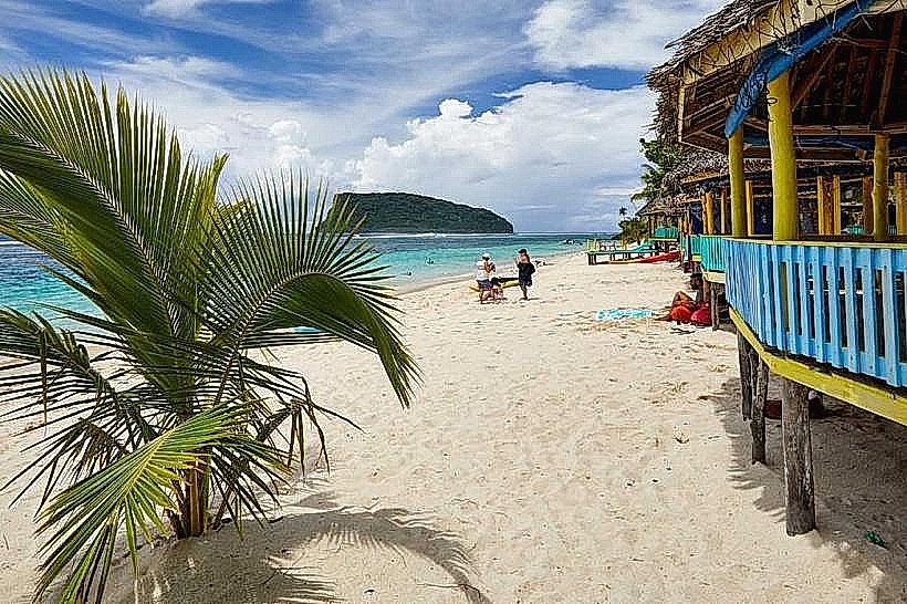
Lalomanu Beach – 1.1km North
Nu'utele Island – 2.8km Southeast
Namu’a Island – 2.9km Northeast
To-Sua Ocean Trench – 4.7km West