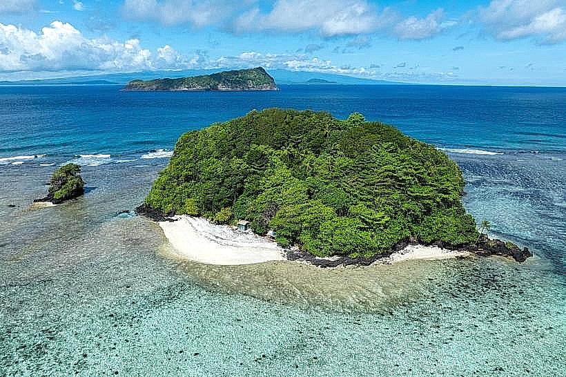
Landmark: Nu'ulopa Island
City: Lalomanu
Country: Samoa
Continent: Australia
Nu'ulopa Island, Lalomanu, Samoa, Australia
Nu'ulopa Island is a small, uninhabited volcanic islet situated in the Apolima Strait between the islands of Upolu and Savai'i in Samoa. It is located approximately midway between the western tip of Upolu and the neighboring island of Manono.
Visual Characteristics
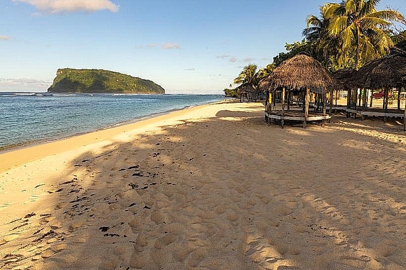
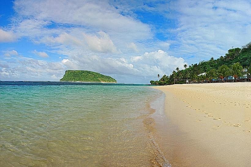
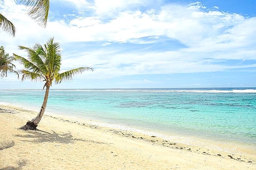
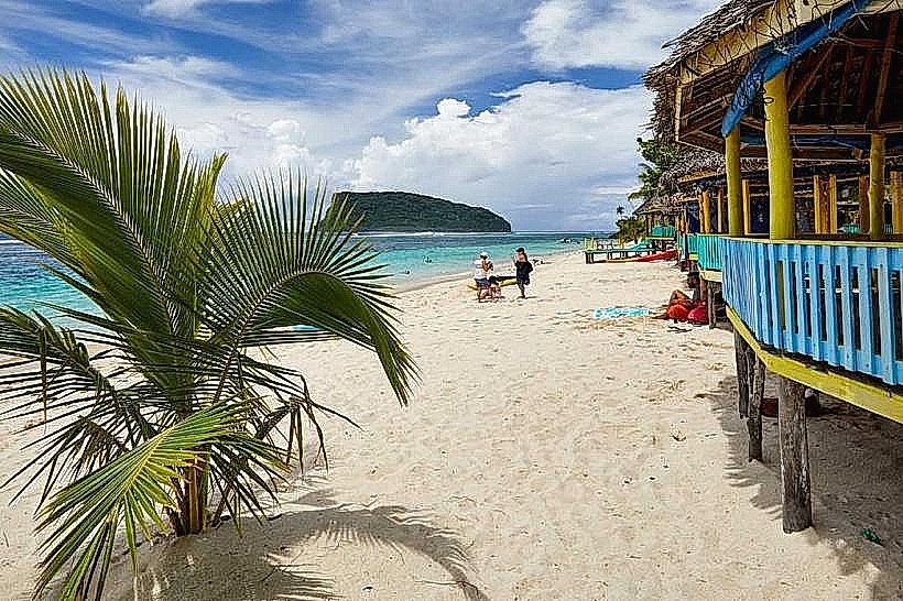
The island is characterized by a central volcanic peak covered in dense primary rainforest and dominated by large banyan trees. It is surrounded by a white coral sand beach on its eastern side, while the western and southern perimeters consist of rugged basaltic rock and tide pools. The surrounding lagoon is shallow and clear, featuring vibrant coral heads and a spectrum of blue and emerald water.
Location & Access Logistics
The island is accessible only by small boat or outrigger canoe from the Manono-uta boat ramp on Upolu or from Manono Island. The boat transit from Upolu takes approximately 15 to 20 minutes. There are no scheduled public ferries; visitors must arrange private transfers through local villagers or resorts at Cape Mulinu'u.
Historical & Ecological Origin
Nu'ulopa is a volcanic tuff cone and serves as a significant conservation area for the Samoan fruit bat (Pteropus samoensis). Historically, the island has served as a traditional burial ground for the high chiefs of Manono Island. It remains undeveloped and is protected under local customary laws to preserve its ecological and spiritual significance.
Key Highlights & Activities
Snorkeling is the primary activity, as the island is surrounded by a protected marine area with high fish diversity. Visitors can hike the short, unpaved forest trails to observe the bat colonies or visit the historical grave sites of the Manono chiefs. The beach on the eastern leeward side provides a location for secluded swimming and picnicking.
Infrastructure & Amenities
Infrastructure is nearly non-existent, consisting only of a single basic open-air fale for shade. There are no restrooms, running water, or electricity on the island. Cell phone signal is intermittent, with occasional 4G connectivity depending on the proximity to mainland Upolu towers. Visitors must carry all supplies, including water and food, and remove all waste.
Best Time to Visit
The best time to visit is during the dry season (May to October) when the sea conditions in the Apolima Strait are calmest for the boat crossing. For photography, late afternoon provides the best light on the western cliffs and the view toward Savai'i. Visits should be planned around mid-tide to ensure easy boat access to the sandy beach.
Facts & Legends
A local legend identifies Nu'ulopa as a place of rest for spirits traveling between the islands. A verified historical oddity is that the island remains one of the few places in Samoa where the Samoan fruit bat can be seen flying during daylight hours due to the lack of human disturbance.
Nearby Landmarks
Manono Island – 1.5km Northwest
Cape Mulinu'u – 3.2km East
Apolima Island – 4.8km West
Manono-uta Village – 3.5km East