Landmark: Chabrouh Dam
City: Faqra
Country: Lebanon
Continent: Asia
Chabrouh Dam, Faqra, Lebanon, Asia
The Chabrouh Dam is a major engineering and water storage installation located in the mountain valley of Kfardebian, situated within the Keserwan District of the Mount Lebanon Governorate, Lebanon. The artificial reservoir sits at an altitude of approximately 1,600 meters above sea level, positioned inside a deep mountain gorge below the ski resort tracks of Faraya.
Visual Characteristics
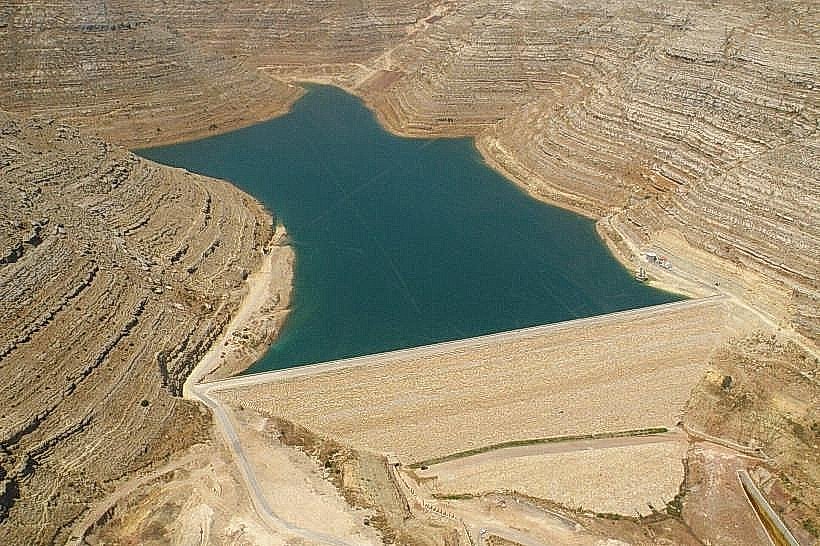
The Chabrouh Dam is an earth-fill structure with a bituminous concrete facing to prevent water filtration. The dam wall reaches a height of 63 meters, stretches a crest length of approximately 470 meters, and holds back a large reservoir containing up to 8 million cubic meters of fresh water. The water surface displays deep turquoise and blue coloration, contrasting with the light-grey and beige shades of the surrounding limestone cliffs and the engineered concrete spillways. The surrounding terrain is characterized by steep, barren alpine mountain walls with sparse high-altitude scrub vegetation.
Location & Access Logistics
The site is situated roughly 48 kilometers northeast of Beirut and 5 kilometers east of the center of Faraya village. Access from the coastal capital involves taking the primary Northern Maritime Highway to the Nahr el-Kalb exit, then proceeding inland along the regional highway passing through Ajaltoun, Ashqout, and central Kfardebian toward Faraya. From the village center, a paved but narrow mountain road branches southeast directly to the dam perimeter. Parking is restricted on the dam crest proper, but private vehicles park on unpaved gravel shoulders near the security checkpoints at the northern entry. Public transit does not serve the dam site, necessitating private vehicles or local regional taxis.
Historical & Ecological Origin
Construction of the Chabrouh Dam began in 2002 and was officially completed and inaugurated in October 2007 by the Ministry of Energy and Water. The primary purpose of the reservoir is to capture winter snowmelt and spring mountain water from the Laban and Assal springs, storing it to provide potable water to the Keserwan coastal regions and irrigation to adjacent mountain farms during the dry summer season. Geologically, the reservoir basin sits on a highly fractured, karstified limestone foundation that required extensive structural grouting curtains to seal subsurface caves and prevent underground leakage.
Key Highlights & Activities
Observing the structural scale of the 63-meter-tall earth-fill dam wall and its concrete spillway architecture.
Walking along the designated public access tracks on the perimeter ridges overlooking the reservoir basin.
Surveying the geological limestone stratifications and steep canyon walls enclosing the artificial lake.
Landscape photography of the water reflection framed by the surrounding high-altitude Mount Lebanon peaks.
Infrastructure & Amenities
The Chabrouh Dam is monitored as a critical state infrastructure facility under municipal and military security oversight. The site features protective fencing, gated access points, and security guard outposts along the perimeter roads. There are no public restrooms, visitor centers, shaded picnic pavilions, or formal pedestrian facilities directly at the dam. Cell phone connectivity remains stable, providing 4G and 5G network coverage due to the open orientation toward neighboring mountain towns. No commercial food stalls or vendors operate within the secure perimeter, but restaurants and shops are located 3 kilometers away in Faraya.
Best Time to Visit
The optimal months to visit are April and May when the reservoir reaches its maximum water levels from the spring snowmelt and the surrounding peaks still retain winter snow. Photography is highly effective between 07:30 and 09:30, using the morning light to illuminate the turquoise water and minimize heavy shadows inside the narrow canyon walls.
Facts & Legends
Engineering surveys conducted prior to construction revealed that sealing the reservoir floor required injecting thousands of tons of liquid cement mixture deep into the natural underground limestone fissures. This process created a massive sub-surface wall designed to block ancient hidden cave channels that would have otherwise drained the entire 8-million-cubic-meter lake into deep, unrecoverable subterranean aquifers within days of filling.
Nearby Landmarks
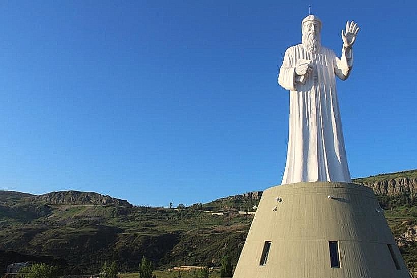
Saint Charbel Statue (Faraya): 2.5km Northwest
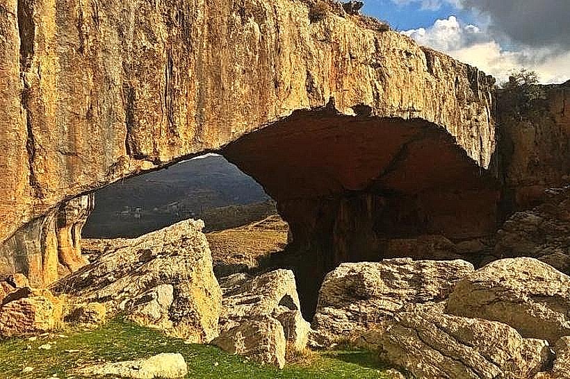
Faqra-natural-bridge_faqra" class="underline">Faqra Natural Bridge: 2.8km Northwest
Mzar Ski Resort: 4.2km North
Faraya Village Square: 5.0km West