Landmark: Chesapeake & Ohio Canal National Historical Park
City: Hagerstown
Country: USA Maryland
Continent: North America
Chesapeake & Ohio Canal National Historical Park, Hagerstown, USA Maryland, North America
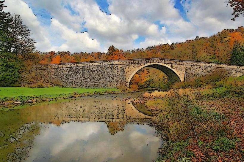
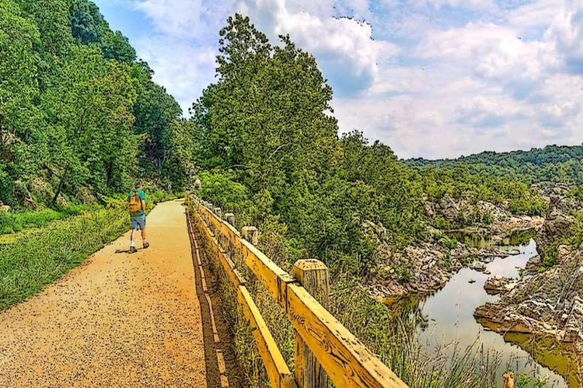
The Chesapeake & Ohio Canal National Historical Park is a protected waterway and towpath stretching from Cumberland, Maryland, to Georgetown in Washington D.C. This section of the park is located near Hagerstown, Maryland.
Visual Characteristics
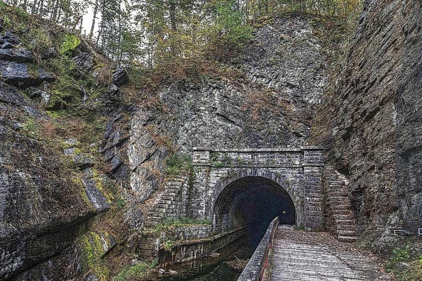
The canal itself is a man-made waterway, typically 60 feet wide, with stone and earth embankments. The towpath adjacent to the canal is a compacted dirt and gravel surface, approximately 10-15 feet wide. Historic stone locks and lockhouses are visible along the route. Vegetation consists of deciduous trees lining the banks, with undergrowth varying in density depending on the season.
Location & Access Logistics
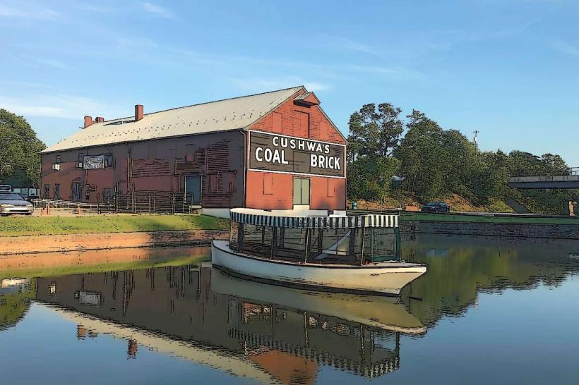
Access points near Hagerstown include the Antietam Creek area. From Hagerstown, take US-40 West for approximately 10 miles, then turn left onto MD-65 South. Follow MD-65 South for about 5 miles to reach the Antietam Creek access. Parking is available at designated lots near the Antietam Creek bridge and the Cushwa Basin. Public transport options are limited; bus routes do not directly serve the canal access points.
Historical & Ecological Origin
Construction of the Chesapeake & Ohio Canal began in 1828 and was completed in 1850. Its primary purpose was to provide a transportation route for goods, particularly coal, between the Ohio River Valley and the port of Georgetown. The canal was engineered to overcome elevation changes using a system of 74 locks. Ecologically, the canal and its surrounding environment support a riparian ecosystem.
Key Highlights & Activities
Hiking and biking are permitted on the towpath. Fishing is allowed in designated areas. Visitors can observe the historic lock mechanisms and stone structures. Interpretive signage provides historical context. The Antietam Creek area offers opportunities for wildlife observation.
Infrastructure & Amenities
Restrooms are available at the Cushwa Basin Visitor Center. Shade is provided by mature trees along the towpath. Cell phone signal is intermittent, with 4G/5G coverage varying significantly. No food vendors are located directly at the Antietam Creek access point; provisions should be brought from Hagerstown.
Best Time to Visit
For photography, early morning or late afternoon light offers optimal illumination of the canal and structures. The best months for comfortable outdoor activity are April through October, avoiding the heat of mid-summer. No tide-dependent activities are relevant to this section of the canal.
Facts & Legends
A specific historical oddity is the canal's competition with the Baltimore and Ohio Railroad, which ultimately contributed to the canal's decline. The canal was never fully extended to the Ohio River as originally planned.
Nearby Landmarks
- Antietam National Battlefield (0.2km West)
- Burnside Bridge (1.5km Southwest)
- Cushwa Basin (2.0km Northeast)
- Hagerstown City Park (8.0km Northeast)