Information
Landmark: C&O Canal TowpathCity: Hagerstown
Country: USA Maryland
Continent: North America
C&O Canal Towpath, Hagerstown, USA Maryland, North America
The C&O Canal Towpath is a historic transportation route located in Maryland, USA, running parallel to the Potomac River. It extends from Cumberland, Maryland, to Georgetown in Washington D.C.
Visual Characteristics
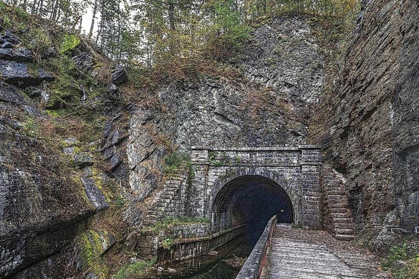
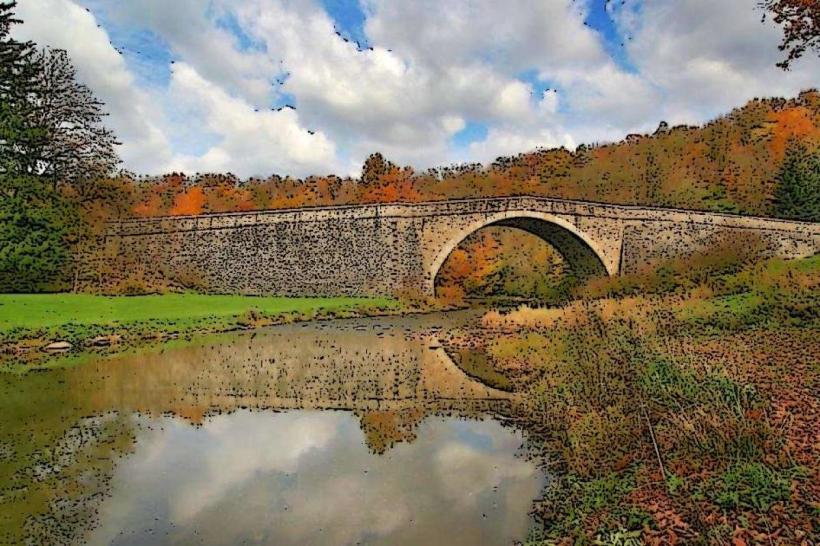
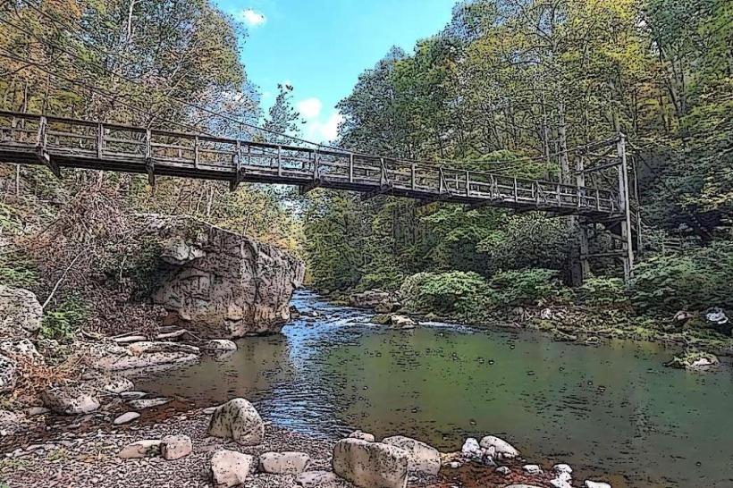
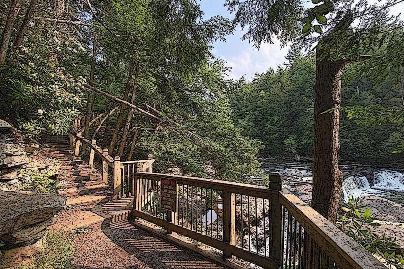
The towpath is a compacted dirt and gravel surface, averaging 10-15 feet in width. It is bordered on one side by the C&O Canal, a man-made waterway with stone and concrete retaining walls, and on the other by the natural terrain of the Potomac River valley, featuring deciduous trees and rock outcroppings. Canal locks, constructed from stone, are visible at intervals along the route.
Location & Access Logistics
Access points to the C&O Canal Towpath near Hagerstown, Maryland, include the Conococheague Creek Aqueduct, approximately 5 miles west of the city center. Parking is available at designated trailheads, such as the one near Lock 44. Public transport options directly to the towpath are limited; visitors typically require private vehicle access.
Historical & Ecological Origin
Construction of the Chesapeake & Ohio Canal began in 1828, with the goal of providing a water route for transporting goods between the East Coast and the Ohio River Valley. The towpath served as the path for mules that pulled canal boats. Ecologically, the area is part of the Appalachian foothills, supporting a mixed hardwood forest ecosystem.
Key Highlights & Activities
Activities include walking, cycling, and horseback riding along the 184.5-mile towpath. Visitors can observe the historic canal locks and aqueducts. Fishing is permitted in designated areas of the Potomac River and the canal. Birdwatching is a common activity due to the diverse avian population.
Infrastructure & Amenities
Restrooms are available at select visitor centers and park facilities along the towpath, particularly near major access points. Shade is provided by the surrounding tree canopy. Cell phone signal strength varies significantly along the route, with limited coverage in more remote sections. Food vendors are not typically found directly on the towpath; provisions should be carried by visitors.
Best Time to Visit
The towpath is accessible year-round. Spring (April-May) and Fall (September-October) offer moderate temperatures and visible foliage. Summer months can be hot and humid. For photography, early morning and late afternoon light provides optimal conditions. High tide is not a relevant factor for the towpath itself, but water levels in the canal are managed.
Facts & Legends
A notable historical oddity is the presence of the Conococheague Creek Aqueduct, a stone structure that carried the canal over the creek, demonstrating significant engineering for its time. Local folklore sometimes speaks of canal boatmen's tales, though specific documented legends are scarce.
Nearby Landmarks
- Antietam National Battlefield (15km Southeast)
- Fort Frederick State Park (20km West)
- Washington Monument State Park (30km East)
- Hagerstown Cultural Trail (5km East)