Information
Landmark: Savage River State ForestCity: Hagerstown
Country: USA Maryland
Continent: North America
Savage River State Forest, Hagerstown, USA Maryland, North America
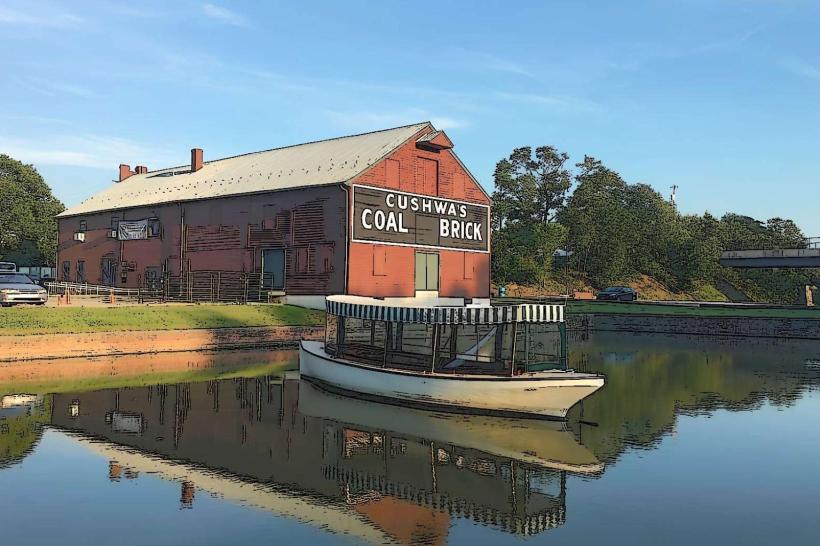
Savage River State Forest is a protected area located in Garrett County, Maryland, west of the city of Hagerstown.
This forest encompasses 54,000 acres of public land managed by the Maryland Department of Natural Resources.
Visual Characteristics
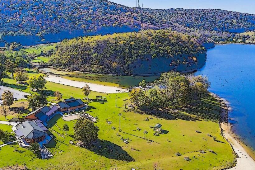
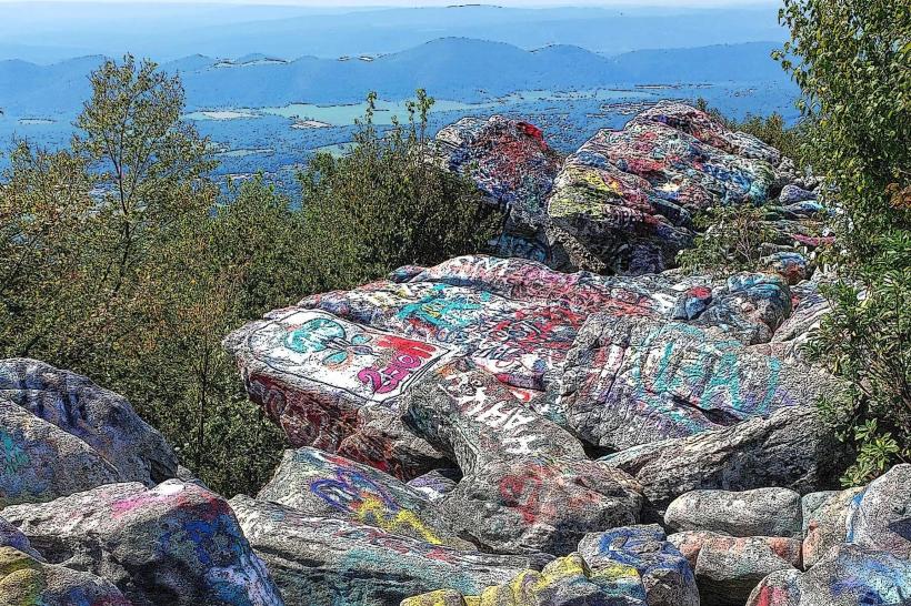
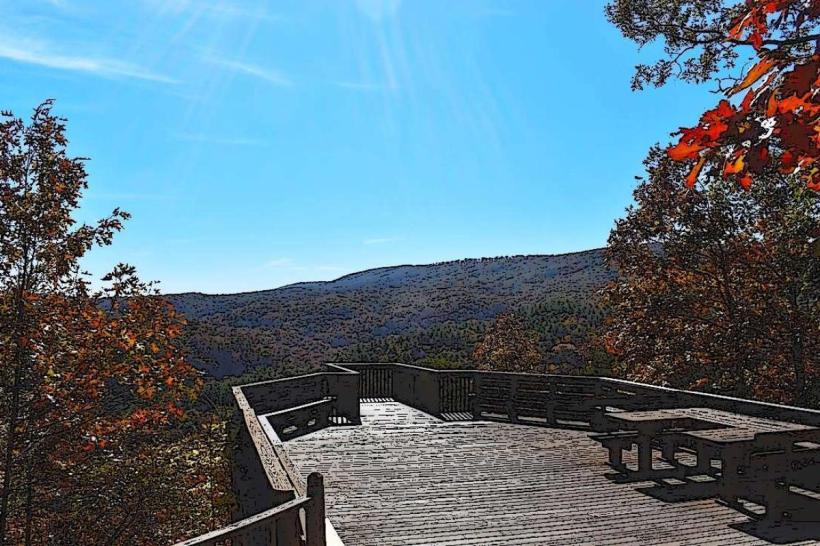
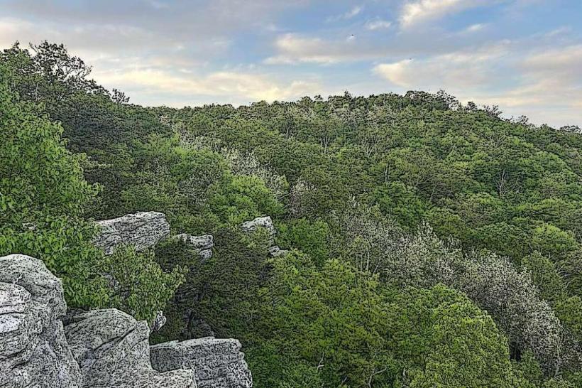
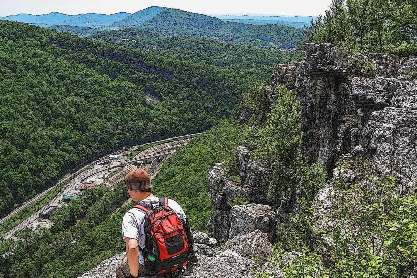
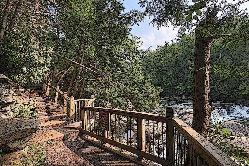
The forest is characterized by dense deciduous woodlands, primarily oak and maple species, interspersed with coniferous stands. The terrain is rugged, featuring steep ravines and rolling hills. The Savage River, a primary waterway, flows through the forest, with sections exhibiting clear, fast-moving water over a rocky bed. Elevation ranges from approximately 1,500 feet to over 3,000 feet above sea level.
Location & Access Logistics
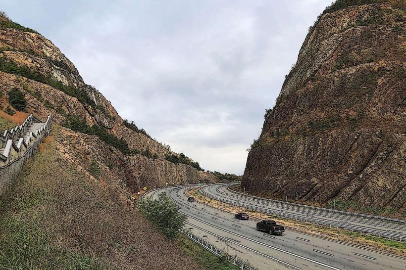
Savage River State Forest is situated in Garrett County, Maryland. Access is primarily via Maryland Route 135 (New Germany Road) and Maryland Route 546 (Savage River Road). The nearest major city is Cumberland, Maryland, approximately 30 miles east. Hagerstown is further east, approximately 70 miles from the forest's main access points. Parking is available at designated trailheads and access points throughout the forest. Public transport options are limited; visitors typically require private vehicles.
Historical & Ecological Origin
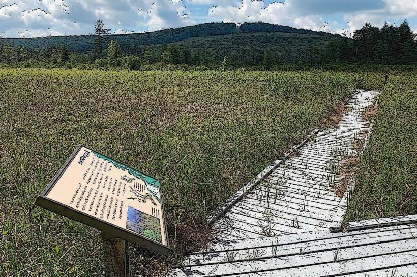
The land comprising Savage River State Forest was largely acquired by the state starting in the early 20th century for watershed protection and timber production. It is part of the Appalachian Mountains physiographic province, formed by ancient geological processes. Ecologically, it represents a significant portion of the Appalachian oak forest ecosystem, supporting diverse flora and fauna.
Key Highlights & Activities
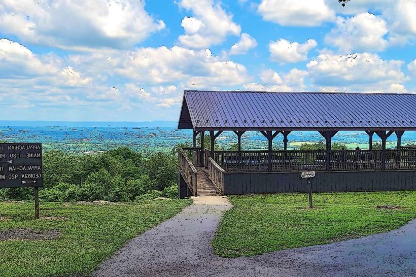
Activities include hiking on marked trails such as the Savage River Trail and the Maryland High Point Trail. Fishing is permitted in the Savage River and its tributaries, with specific regulations for trout and other species. Hunting is allowed during designated seasons for deer, bear, and turkey. Canoeing and kayaking are possible on certain sections of the Savage River, particularly during higher water levels. Primitive camping is available at designated sites.
Infrastructure & Amenities
Restrooms are available at some developed access points and campgrounds. Shade is abundant due to the dense forest canopy. Cell phone signal is intermittent and generally unreliable within the forest interior. Food vendors are not present within the forest; visitors should plan to bring their own supplies. Several campgrounds offer basic amenities.
Best Time to Visit
For hiking and general exploration, late spring (May-June) and early autumn (September-October) offer moderate temperatures and clear conditions. Autumn foliage viewing is optimal in October. Fishing is best in spring and fall. Water levels for canoeing/kayaking are typically highest in spring and after significant rainfall. Midday lighting can be harsh due to the dense canopy; early morning and late afternoon provide softer light for photography.
Facts & Legends
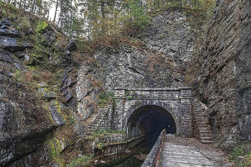
The Savage River is known for its challenging whitewater sections, particularly during spring melt. A notable historical oddity is the presence of remnants from early 20th-century logging operations, including old railroad grades that are now used as hiking trails. The forest is also a critical habitat for the endangered Cheat Mountain salamander.
Nearby Landmarks
- New Germany State Park (0.5km West)
- Dans Mountain State Park (25km Southeast)
- Deep Creek Lake (30km Southwest)
- Youghiogheny River Gorge (35km West)
- Casselman River (40km Northwest)