Information
Landmark: Chesapeake Bay BridgeCity: Annapolis
Country: USA Maryland
Continent: North America
Chesapeake Bay Bridge, Annapolis, USA Maryland, North America
The Chesapeake Bay Bridge is a dual-span bridge that spans the Chesapeake Bay, connecting the Western Shore of Maryland with the Delmarva Peninsula.
It is a significant transportation artery for the region.
Visual Characteristics
The bridge consists of two parallel structures. The original eastbound span is 4.3 miles (6.9 km) long and features a steel truss design with concrete piers. The westbound span, completed in 1973, is 4.3 miles (6.9 km) long and is a continuous steel girder bridge. Both spans have a roadway elevation of approximately 185 feet (56 m) above the water at their highest points.
Location & Access Logistics
The Chesapeake Bay Bridge is located on US Route 50 and US Route 301. It is approximately 10 miles (16 km) east of Annapolis, Maryland. Access is directly from US 50 East and US 301 North on the western side, and US 50 East and US 301 South on the eastern side. There are toll plazas on both the western and eastern approaches. Parking is not available on the bridge itself. Public transportation options directly to the bridge are limited; most users access it via private vehicle.
Historical & Ecological Origin
The original Chesapeake Bay Bridge, designed by engineers J.E. Greiner Company and Parsons, Brinckerhoff, Hall and Macdonald, opened in 1952. Its primary purpose was to facilitate vehicular traffic across the bay, replacing ferry services. The westbound span was constructed to alleviate traffic congestion. The bridge crosses the Chesapeake Bay, a large estuary formed by the Susquehanna River.
Key Highlights & Activities
The primary activity associated with the Chesapeake Bay Bridge is vehicular transit. Pedestrian access is not permitted. Photography of the bridge structure and bay views is possible from designated rest areas on either side of the bay. Fishing is permitted from the piers at the Bay Bridge Marina, located adjacent to the western approach.
Infrastructure & Amenities
Restrooms are available at the toll plazas and designated rest areas on both the western and eastern shores. Shade is limited to these rest areas. Cell phone signal (4G/5G) is generally available across the bridge, though it can be intermittent in certain sections. Food vendors and restaurants are located at the rest areas and in nearby towns.
Best Time to Visit
For photography, early morning or late afternoon light provides optimal illumination of the bridge structure. The best months for weather are typically May through October, offering milder temperatures. There are no tide-dependent restrictions for bridge passage.
Facts & Legends
A persistent local legend claims that the bridge is haunted by the ghost of a worker who fell during its construction. While unverified, this story contributes to the bridge's folklore. The bridge is also known for its significant length, often causing a psychological effect on drivers known as "bridge hypnosis" due to the long, monotonous drive.
Nearby Landmarks
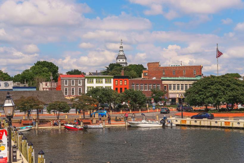
- Annapolis State House (10km West)
- United States Naval Academy (12km West)
- Sandy Point State Park (5km West)
- Kent Island (15km East)
- Historic St. Michaels (40km East)