Information
Landmark: Fort De Soto ParkCity: St Petersburg
Country: USA Florida
Continent: North America
Fort De Soto Park, St Petersburg, USA Florida, North America
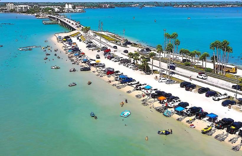
Fort De Soto Park is a county park located in St. Petersburg, Florida, comprising several islands in the Gulf of Mexico.
The park is situated at the southern end of Pinellas County, approximately 32 kilometers (20 miles) south of downtown St. Petersburg.
Visual Characteristics
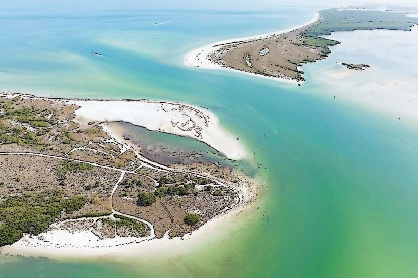
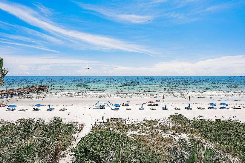
The park's landscape consists of barrier islands with white sand beaches, mangrove forests, and tidal flats. The primary historical structure, Fort De Soto, is constructed from concrete and brick, featuring gun emplacements and a central battery. The islands are characterized by low-lying dunes and seagrass beds.
Location & Access Logistics
Access to Fort De Soto Park is via State Road 679 (Pinellas Bayway). The park entrance is located at the southern terminus of this road. There is a toll for the Pinellas Bayway. Parking is available in designated lots throughout the park, with specific areas for beach access, boat ramps, and the fort. Public transportation options are limited; the Pinellas Suncoast Transit Authority (PSTA) operates bus route 15 which stops near the park entrance, requiring a walk of approximately 1.5 kilometers (0.9 miles) to the main fort area.
Historical & Ecological Origin
Fort De Soto was constructed between 1898 and 1900 as part of the Endicott Period coastal defense system. Its purpose was to protect Tampa Bay and the port of St. Petersburg from naval attack. The islands themselves are natural barrier islands formed by sand deposition and sea-level rise over millennia.
Key Highlights & Activities
Activities include exploring the historic Fort De Soto battery, swimming and sunbathing on the beaches, kayaking and paddleboarding in the calm waters of the bay side, fishing from piers and shorelines, and birdwatching in the mangrove areas. Cycling is permitted on paved paths. Snorkeling is possible in designated areas, particularly around the jetties.
Infrastructure & Amenities
Restrooms are available at various points within the park, including near the beaches and the fort. Shaded picnic areas with grills are provided. Cell phone signal (4G/5G) is generally available throughout the park. Food vendors are present seasonally near the main beach areas, and convenience stores are located outside the park entrance.
Best Time to Visit
The best time of day for photography, particularly of the fort and beaches, is during the early morning or late afternoon for optimal lighting. The months of March through May offer pleasant weather with lower humidity. The park is accessible year-round, but high tide can affect access to certain shoreline areas.
Facts & Legends
A notable historical fact is that Fort De Soto was named after Juan Ponce de León, the Spanish explorer, although he never actually visited the site. The fort was never fully armed or occupied during wartime, making it a preserved example of early 20th-century coastal defense architecture.
Nearby Landmarks
- Shell Key Preserve (0.2km West)
- Egmont Key State Park (3km Southwest, accessible by ferry)
- Fort De Soto Campground (1km North)
- Tierra Verde (2km North)
- Fort De Soto Boat Ramp (0.8km North)