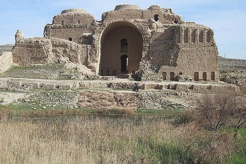
Landmark: Iaal Fortress
City: Zgharta
Country: Lebanon
Continent: Asia
Iaal Fortress, Zgharta, Lebanon, Asia
The Iaal Fortress (also known as the Citadel of Barbar Agha) is an Ottoman-era military fortification situated on a strategic hilltop in the village of Iaal, within the Zgharta District of the North Lebanon Governorate. Constructed in the early 19th century, it stands as a rugged example of provincial Ottoman military architecture and serves as a historical monument tracking the feudal governance of Northern Lebanon.
Visual Characteristics
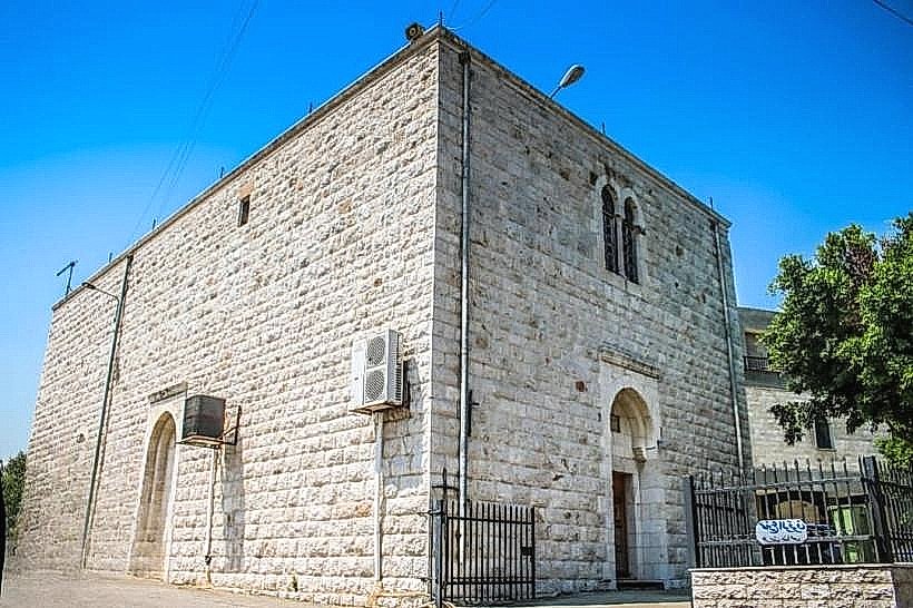
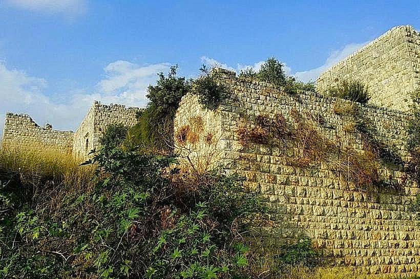
The fortress is characterized by its austere, heavy military design built from massive, hand-dressed local beige and grey limestone blocks. The layout is rectangular, featuring thick defensive perimeter walls, narrow defensive arrow slits, and a prominent central gatehouse. The interior opens into a spacious, stone-paved inner courtyard flanked by two stories of vaulted rooms, storage chambers, and stable stalls. A wide stone staircase leads to the upper level, which once contained the administrative quarters and residential salons of the governor. The high ramparts offer a direct, unobstructed defensive vantage point over the surrounding agricultural plains and valley approaches.
Location & Access Logistics
The citadel is located in the rural village of Iaal, approximately 95 kilometers northeast of Beirut and roughly 8 kilometers southwest of Zgharta. Access from the capital is via the primary northern coastal highway to Tripoli, turning inland toward Zgharta, and following the regional winding road south through Majdlaya directly to Iaal. The fortress sits on an elevated peak visible from the main village road. Visitors can park vehicles along the unpaved shoulder tracks near the base of the fortress slope. Public transportation is restricted to intercity buses from Beirut to Tripoli or Zgharta, from which a private regional taxi must be hired to reach the historical site.
Historical & Ecological Origin
The fortress was constructed in 1816 CE by Mustafa Agha Barbar, the powerful Ottoman governor of Tripoli and a prominent military figure in the region. It was built as a secure fortified residence and an administrative tax-collection outpost to project imperial authority over the rebellious mountain districts. Geologically, the fortress is anchored into a prominent limestone ridge that forms part of the lower western foothills of the Mount Lebanon range. The surrounding ecosystem is dominated by traditional dry-climate vegetation, including ancient olive groves, wild scrub oak, and terraced agricultural fields.
Key Highlights & Activities
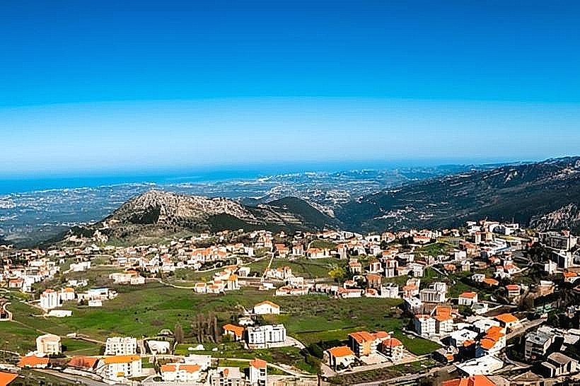
Primary activities focus on historical exploration, architectural inspection of the Ottoman masonry, and panoramic photography from the upper ramparts. Visitors can walk through the vaulted ground-floor chambers, inspect the preserved horse troughs inside the stables, and explore the central courtyard layout. The uncrowded, raw state of the monument appeals to independent travelers seeking uncommercialized archaeological ruins. The elevated roof platforms provide panoramic views stretching across the olive-growing plains of Zgharta toward the Mediterranean coast.
Infrastructure & Amenities
The fortress is an uncommercialized heritage site and lacks formal tourism infrastructure; there are no active ticketing booths, on-site tour guides, public restroom installations, or visitor reception offices. Shade is continuous inside the thick-walled, vaulted subterranean chambers but completely absent on the open courtyard floor and upper ramparts. Cellular network coverage (4G) is operational and stable on the hilltop. No food or beverage vendors operate on the direct property grounds, requiring visitors to secure necessary hydration and supplies from commercial shops located 1 to 2 kilometers away in central Iaal village or nearby Zgharta.
Best Time to Visit
The optimal period for visiting the fortress is during the spring and autumn months (March to May and September to November) when outdoor temperatures are moderate for walking across the exposed stone ruins. The late afternoon hours (16:00 to 18:00) provide the best low-angle, warm sunlight to illuminate the heavy limestone facade and maximize visibility across the northern plain for landscape photography. Winter visits face heavy rains, strong winds, and muddy approach paths around the hill base.
Facts & Legends
A verified historical detail is that Mustafa Agha Barbar constructed this fortress partially as a secure retreat from his regional political rival, Emir Bashir Shihab II, ensuring the walls were thick enough to withstand light artillery bombardment during periods of intense feudal conflict. Local oral tradition claims that the fortress contains hidden underground tunnels running deep into the limestone hill, constructed to allow the governor and his personal guard to secretly evacuate the citadel and escape into the dense valley brush if the main gates were ever breached during a prolonged military siege.
Nearby Landmarks
Seraile of Zgharta: 8.2km Northeast
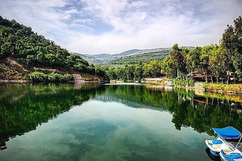
Bnachii Lake: 9.5km East
Tripoli Citadel: 12.0km Northwest
Rashein River Promenades: 11.0km Northeast
Mar Antonios Monastery (Qozhaya): 24.0km Southeast