Landmark: Iron Mountain Road
City: Custer
Country: USA South Dakota
Continent: North America
Iron Mountain Road, Custer, USA South Dakota, North America
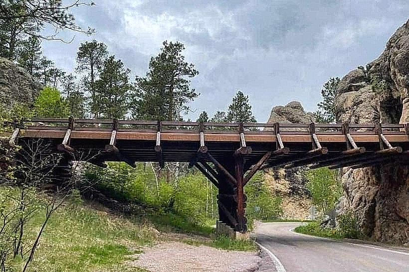
Iron Mountain Road is a 17-mile scenic byway located in Custer-state-park_custer" class="underline">Custer State Park, South Dakota, USA.
Visual Characteristics
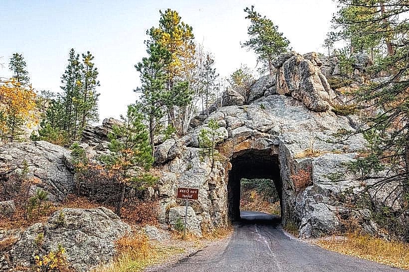
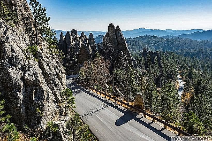
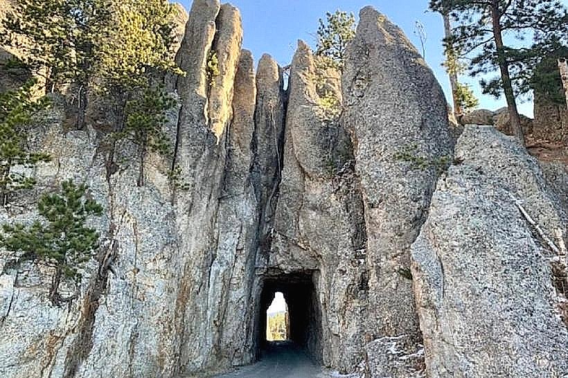
The road features a series of 31 one-lane tunnels and 14 hairpin turns. It is constructed primarily of poured concrete and native stone. The route traverses granite outcroppings and dense pine forests, offering views of Mount Rushmore National Memorial through specific openings.
Location & Access Logistics
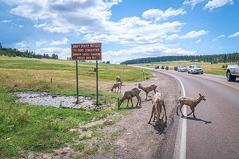
Iron Mountain Road connects the park's southern entrance near Pringle to the northern entrance near Keystone. It is accessible from US Highway 16A. The closest major city is Rapid City, approximately 30 miles northeast. Parking is available at designated pull-offs along the route. No public transport services operate directly on Iron Mountain Road.
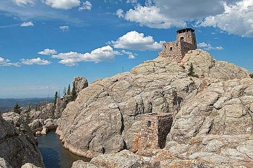
Historical & Ecological Origin
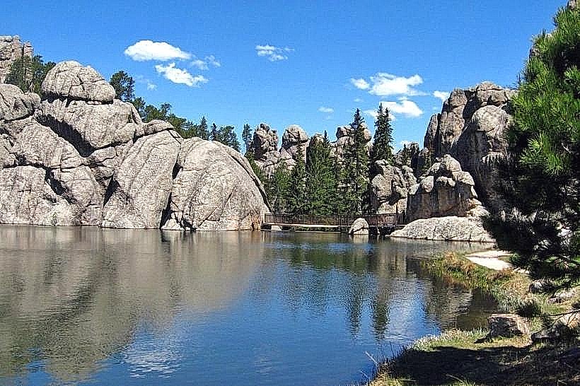
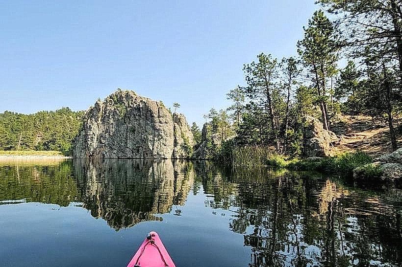
Construction of Iron Mountain Road began in 1927 and was completed in 1933. It was designed by the Civilian Conservation Corps (CCC) and the National Park Service. The primary purpose was to provide access to Mount Rushmore while offering scenic views of the Black Hills landscape. The area is characterized by Precambrian granite formations and ponderosa pine ecosystems.
Key Highlights & Activities
Driving the full length of the road is the primary activity. Specific points of interest include the Norbeck Pass, the various tunnels offering framed views of Mount Rushmore, and the Peter Norbeck Overlook. Photography is a common activity at designated viewpoints.
Infrastructure & Amenities
Restrooms are available at the Peter Norbeck Visitor Center and at some pull-offs. Shade is provided by the surrounding forest canopy. Cell phone signal is intermittent and generally unreliable. Food vendors are not present directly on the road; services are available in nearby Keystone and Custer.
Best Time to Visit
The road is typically open from April to October, depending on snow conditions. Mid-morning (9:00 AM - 11:00 AM) and late afternoon (3:00 PM - 5:00 PM) offer favorable lighting for photography. Summer months (June-August) provide the warmest weather, but also the highest visitor traffic.
Facts & Legends
The road was designed to be a "drive-through" experience, with tunnels strategically placed to reveal Mount Rushmore at specific moments. The design intentionally limits the speed of travel to encourage appreciation of the scenery.
Nearby Landmarks
- Mount Rushmore National Memorial (0.5km North)
- Custer State Park Wildlife Loop Road (3km Southwest)
- Black Elk Peak Trailhead (5km West)
- Crazy Horse Memorial (10km Southwest)
- Wind Cave National Park (20km Southwest)