Landmark: Wildlife Loop Road
City: Custer
Country: USA South Dakota
Continent: North America
Wildlife Loop Road, Custer, USA South Dakota, North America
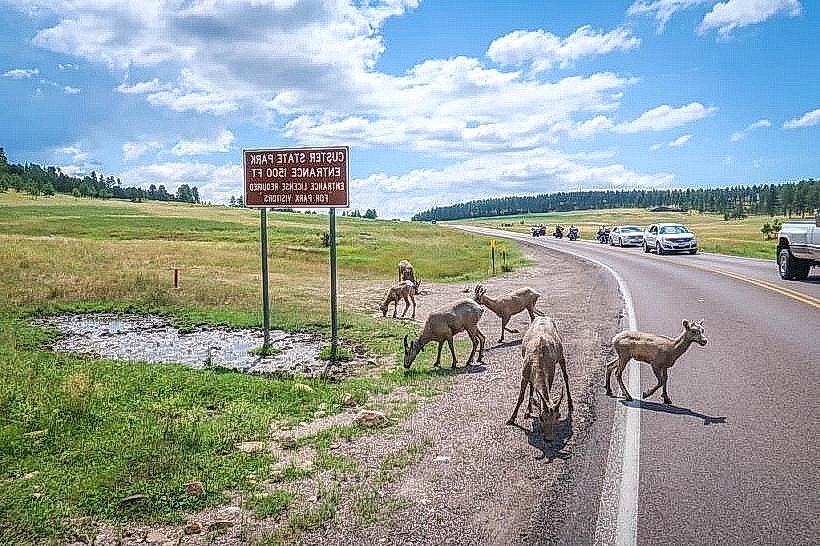
The Wildlife Loop Road is a 18-mile (29 km) paved and gravel road located within Custer-state-park_custer" class="underline">Custer State Park in Custer, South Dakota. It is designed to facilitate wildlife viewing within the park's varied habitats.
Visual Characteristics
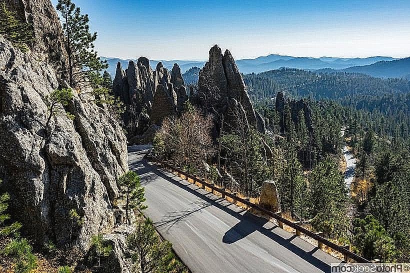
The road traverses grasslands, ponderosa pine forests, and rolling hills. Expect open plains suitable for observing large mammals, interspersed with wooded areas. Elevation changes are moderate.
Location & Access Logistics
The Wildlife Loop Road is accessible from the main park entrance near the town of Custer, South Dakota. From Custer, take US Highway 16A East for approximately 5 miles (8 km) to the park entrance. The loop road itself is clearly marked. Parking is available at designated pull-offs and overlooks along the route. No specific bus lines service the road; personal vehicle is the primary mode of access. The closest major airport is Rapid City Regional Airport (RAP), approximately 45 miles (72 km) northeast.
Historical & Ecological Origin
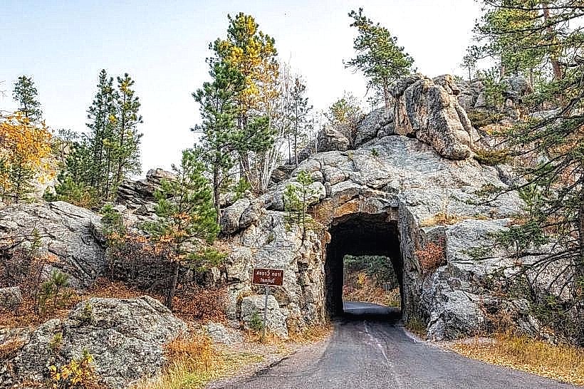
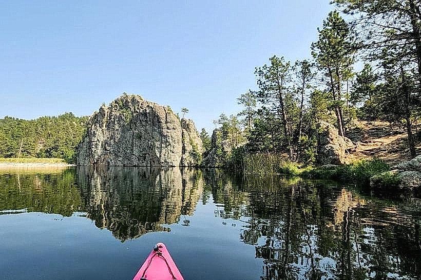
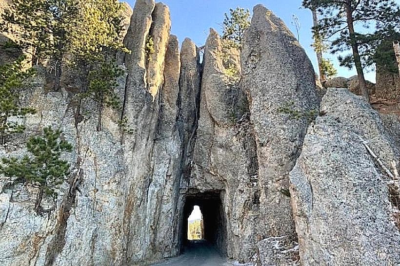
Custer State Park was established in 1913. The Wildlife Loop Road was developed to showcase the park's reintroduced bison herd and other native fauna. The area's geology is characterized by Precambrian granite formations and sedimentary rocks, with the loop road passing through areas shaped by glacial activity and erosion.
Key Highlights & Activities
Driving the loop for wildlife observation is the primary activity. Common sightings include bison, pronghorn, prairie dogs, deer, and wild burros. Photography is a frequent activity. Visitors can stop at designated pull-offs to observe and photograph wildlife. The speed limit is enforced to ensure safety and minimize disturbance to animals.
Infrastructure & Amenities
Restrooms are available at the Peter Norbeck Visitor Center near the park entrance and at a few designated rest areas along the loop. Shade is limited in the open grassland sections; shade structures are present at some picnic areas. Cell phone signal (4G/5G) is intermittent and generally unreliable along most of the loop. Food vendors are not directly located on the loop road; food services are available at the park's visitor centers and nearby lodges.
Best Time to Visit
For optimal wildlife viewing, early morning (dawn) and late afternoon (dusk) offer the highest probability of animal activity. The months of May through September generally provide the most favorable weather conditions. No specific tide requirements apply.
Facts & Legends
The park's bison herd, numbering over 1,000 individuals, is one of the largest public herds in the world. A specific tip for visitors is to be aware of the wild burros that often approach vehicles; while accustomed to people, they are still wild animals and should not be fed.
Nearby Landmarks
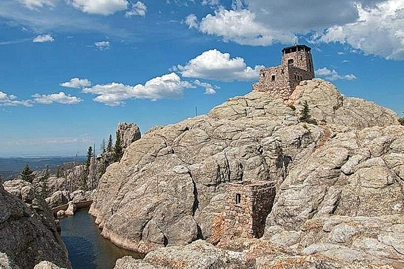
- Black Elk Peak (formerly Harney Peak) - 8km Northwest
- Crazy Horse Memorial - 12km Southwest
- Mount Rushmore National Memorial - 25km North
- Wind Cave National Park - 30km Southwest
- Badlands National Park - 80km East