Landmark: Kavieng
City: New Ireland
Country: Papua New Guinea
Continent: Australia
Kavieng, New Ireland, Papua New Guinea, Australia
Kavieng is the capital of New Ireland Province, Papua New Guinea, situated on the northern tip of New Ireland island.
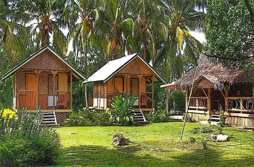
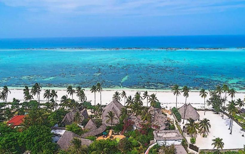
Visual Characteristics
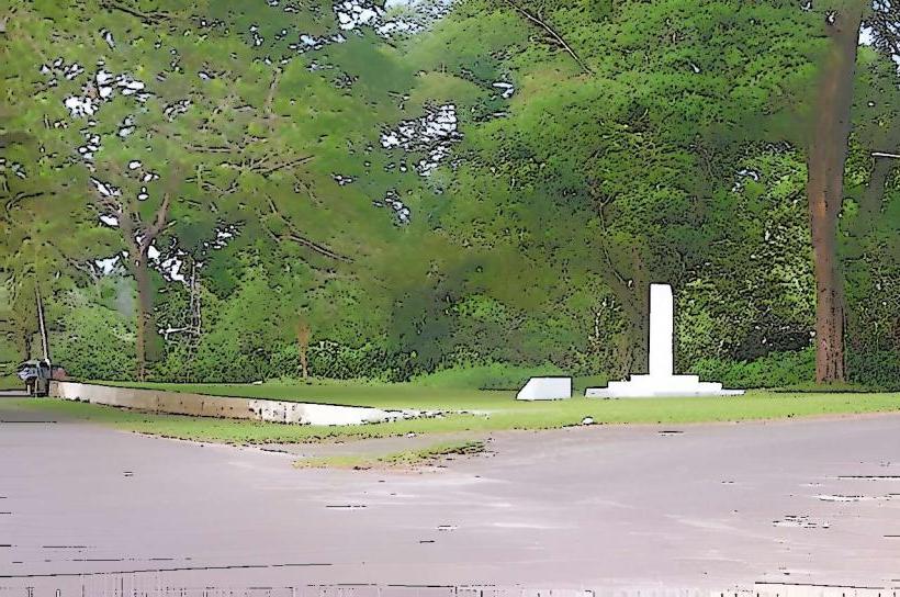
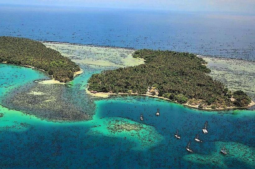
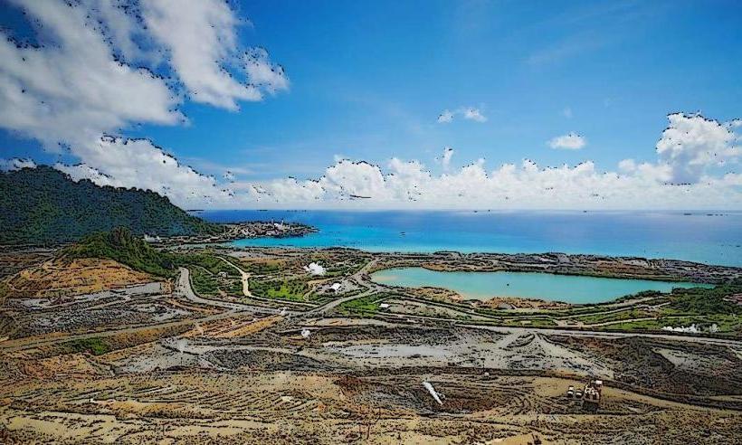
The town features a mix of low-rise concrete buildings and corrugated iron structures. The coastline is characterized by sandy beaches and fringing coral reefs. Vegetation is dense tropical rainforest, with coconut palms prevalent along the coast.
Location & Access Logistics
Kavieng is accessed via Kavieng Airport (KVG), which receives domestic flights from Port Moresby and other provincial centers. The town is located at the northern terminus of the main road on New Ireland. Limited public transport exists within the town; taxis and private hire vehicles are the primary modes of local transport. Parking is generally available on streets and in designated areas near commercial buildings.
Historical & Ecological Origin
Kavieng was established as a German colonial administrative center in the late 19th century, later becoming an Australian administrative post. The surrounding marine environment is a tropical coral reef ecosystem, supporting diverse marine life.
Key Highlights & Activities
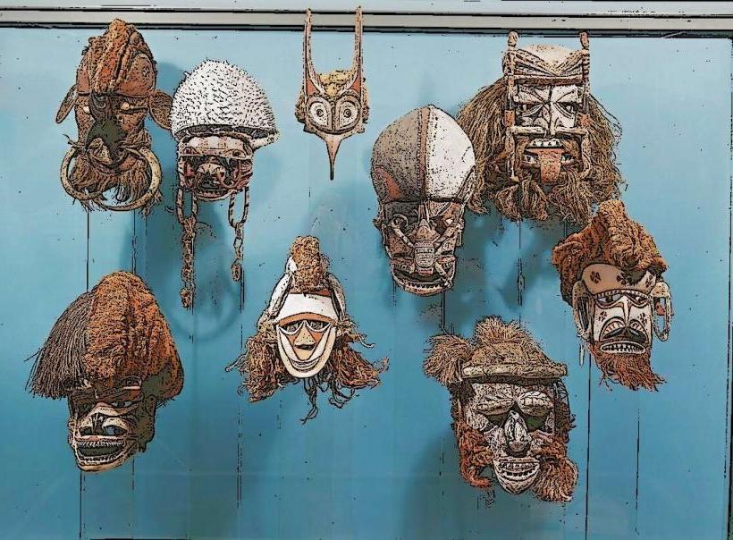
Activities include diving and snorkeling at nearby dive sites such as the Kavieng Dive Site and the Malendok Island reef. Fishing charters are available. Visitors can explore the local market for handicrafts and produce. Walking tours of the town's historical sites, including remnants of World War II structures, are possible.
Infrastructure & Amenities
Restrooms are available at the market and some commercial establishments. Shade is provided by trees and building overhangs. Cell phone signal (2G/3G) is generally available within the town center. Food vendors operate at the local market and in small eateries.
Best Time to Visit
The dry season, from June to September, offers the most favorable weather conditions with less rainfall. The best time of day for underwater photography is generally between 10:00 AM and 2:00 PM when sunlight penetration is optimal. Tidal variations can affect dive site accessibility; consult local operators.
Facts & Legends
A notable historical artifact is the Japanese Zero fighter plane wreck located in shallow water near the town, accessible for snorkeling. Local folklore speaks of ancient spirits inhabiting the surrounding rainforests.
Nearby Landmarks
- 0.8km South: Kavieng Market
- 1.5km West: Kavieng Hospital
- 3.0km North: Malendok Island
- 4.5km Southeast: Kavieng Golf Course