Landmark: Lihir Island
City: New Ireland
Country: Papua New Guinea
Continent: Australia
Lihir Island, New Ireland, Papua New Guinea, Australia
Lihir Island is an island located in the New Ireland Province of Papua New Guinea. It is part of the New Guinea archipelago.
Visual Characteristics
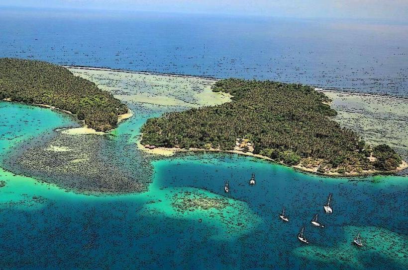
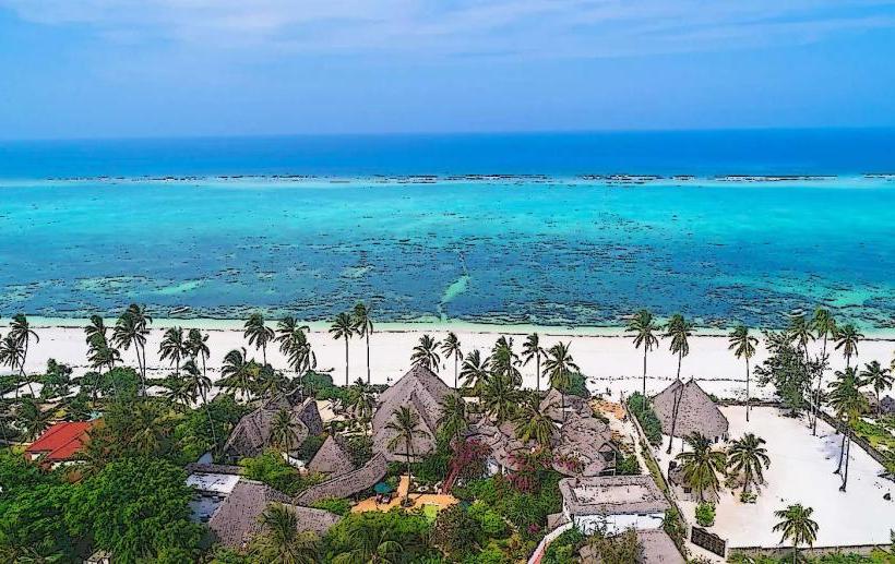
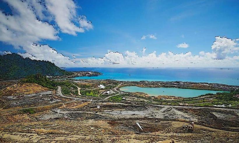
Lihir Island is characterized by its volcanic topography, featuring a central caldera and surrounding volcanic cones. The coastline consists of sandy beaches and coral reefs. Inland areas are covered by dense tropical rainforest. The island's highest point reaches approximately 700 meters above sea level.
Location & Access Logistics
Lihir Island is situated approximately 20 kilometers east of New Ireland. Access is primarily via Lihir Airport (LIR), which receives flights from Port Moresby and other regional centers. There are no direct road connections from the mainland; sea transport is limited to inter-island ferries and private vessels. Limited taxi services operate from the airport to settlements.
Historical & Ecological Origin
Lihir Island is a Quaternary volcanic island, formed by volcanic activity over the last 1.5 million years. The island's geology is dominated by the Luiseino caldera. Ecologically, it supports a diverse range of flora and fauna typical of Melanesian rainforests.
Key Highlights & Activities
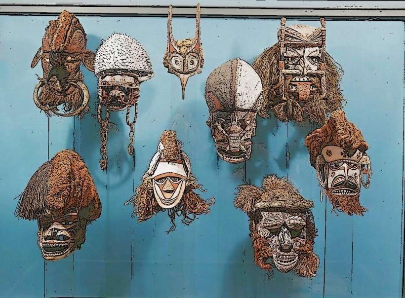
Activities include exploring the Minifie Bay marine reserve for snorkeling and diving, observing geothermal activity at the Tikku hot springs, and visiting local villages to understand traditional Lihirian culture. Hiking trails are present in the interior, though often unmaintained.
Infrastructure & Amenities
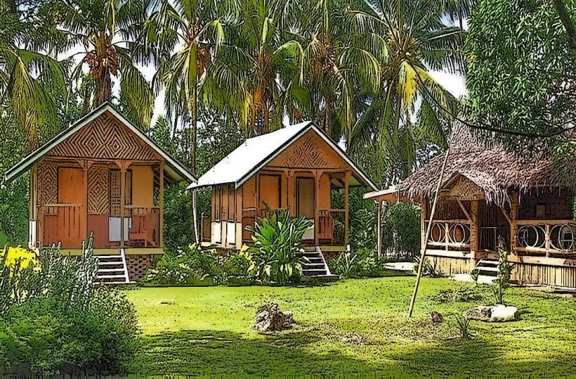
Basic infrastructure includes a small airport, a few guesthouses, and limited local shops. Restrooms are available at the airport and some accommodations. Cell phone signal is intermittent and generally weak outside of main settlements. Shade is abundant in forested areas. Food vendors are scarce; self-catering or dining at accommodations is recommended.
Best Time to Visit
The dry season, from June to September, offers the most favorable weather conditions with reduced rainfall. The best time of day for photography is generally early morning or late afternoon to avoid harsh midday sun. Tidal conditions are not a significant factor for most activities.
Facts & Legends
Lihir is renowned for its significant gold deposits, mined by Newcrest Mining. Local folklore includes beliefs in ancestral spirits and the importance of the island's natural features as sacred sites.
Nearby Landmarks
- Nimamar Local Level Government Office (0.8km West)
- Lihir Airport (1.2km South)
- Kevala Village (2.5km North)
- Malie Village (3.1km Northwest)
- Tanglawi Village (4.0km Southwest)