Landmark: Tanga Island
City: New Ireland
Country: Papua New Guinea
Continent: Australia
Tanga Island, New Ireland, Papua New Guinea, Australia
Tanga Island is an island located in the New Ireland Province of Papua New Guinea.
It is part of the New Ireland Archipelago.
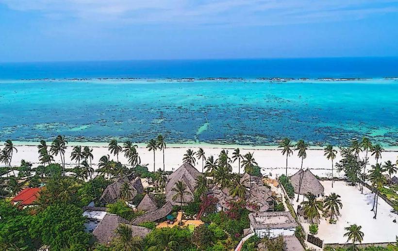
Visual Characteristics
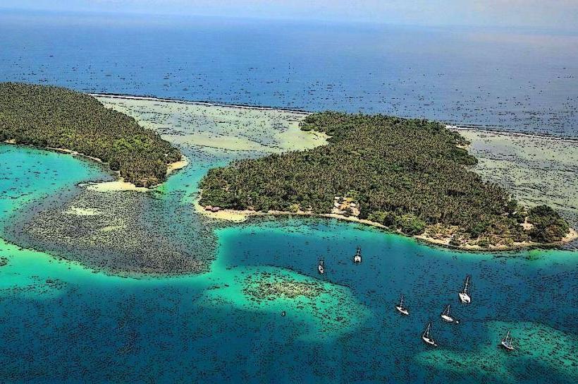
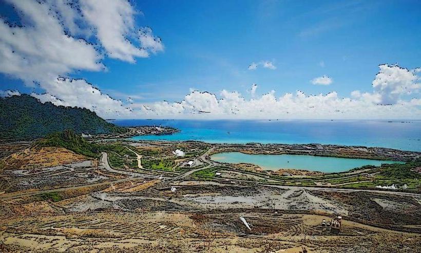
Tanga Island is characterized by its volcanic origins, featuring dark, fertile soil and a dense tropical rainforest canopy. The coastline consists of black sand beaches and rocky outcrops. The island's elevation is moderate, with the highest points reaching approximately 200 meters above sea level.
Location & Access Logistics
Tanga Island is situated approximately 40 kilometers northeast of New Ireland's main island. Access is primarily via boat from Kavieng, the provincial capital. The journey typically takes 2-3 hours depending on sea conditions. There are no established public transport services to the island. Private boat hire is the most common method of access. There is no formal airport or airstrip on Tanga Island.
Historical & Ecological Origin
Tanga Island is a volcanic island, formed by submarine volcanic activity. The islands are part of the Bismarck Archipelago's volcanic arc. The ecological system is a tropical rainforest, supporting a diverse range of flora and fauna adapted to the island environment.
Key Highlights & Activities
Activities on Tanga Island are primarily centered around its natural environment. These include snorkeling and diving in the surrounding coral reefs, which are accessible from the shore in certain locations. Hiking through the island's interior rainforest is possible, though trails are not formally maintained. Observing local village life and traditional customs is also a significant aspect of visiting Tanga.
Infrastructure & Amenities
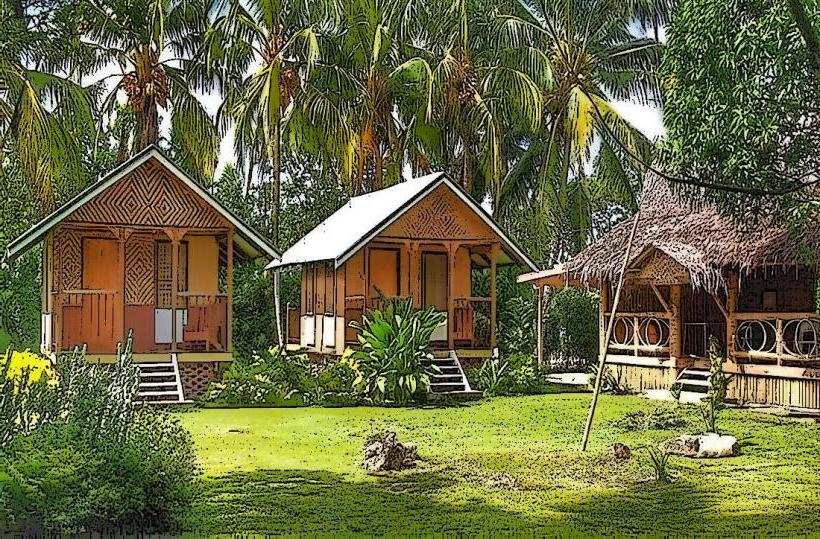
Basic infrastructure exists in the small villages on Tanga Island. Restrooms are typically found within village homes or community structures, not as standalone public facilities. Shade is abundant due to the dense forest cover. Cell phone signal is intermittent and generally unreliable. There are no dedicated food vendors; visitors typically arrange meals with local families or bring their own provisions.
Best Time to Visit
The best time to visit Tanga Island is during the dry season, which generally runs from June to September. During these months, rainfall is lower, and sea conditions are more favorable for boat travel. The best time of day for photography is early morning or late afternoon, when the sunlight is less direct and casts longer shadows.
Facts & Legends
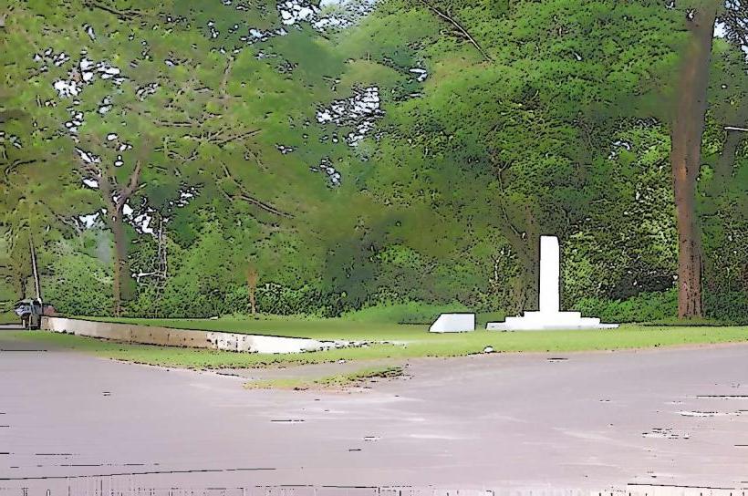
A notable historical aspect of Tanga Island is its role during World War II, when it was used as a Japanese seaplane base. Local legends speak of spirits inhabiting the island's ancient trees and caves, with specific rituals performed to appease them.
Nearby Landmarks
- New Ireland Province (Main Island) - 40km Southwest
- Lavongai Island - 70km Northwest
- Tabar Islands - 90km Southeast
- Duke of York Islands - 150km South