Landmark: Malaguna
City: New Ireland
Country: Papua New Guinea
Continent: Australia
Malaguna, New Ireland, Papua New Guinea, Australia
Malaguna is a coastal village located on the island of New Ireland in Papua New Guinea.
It is situated approximately 10 kilometers north of Kavieng.
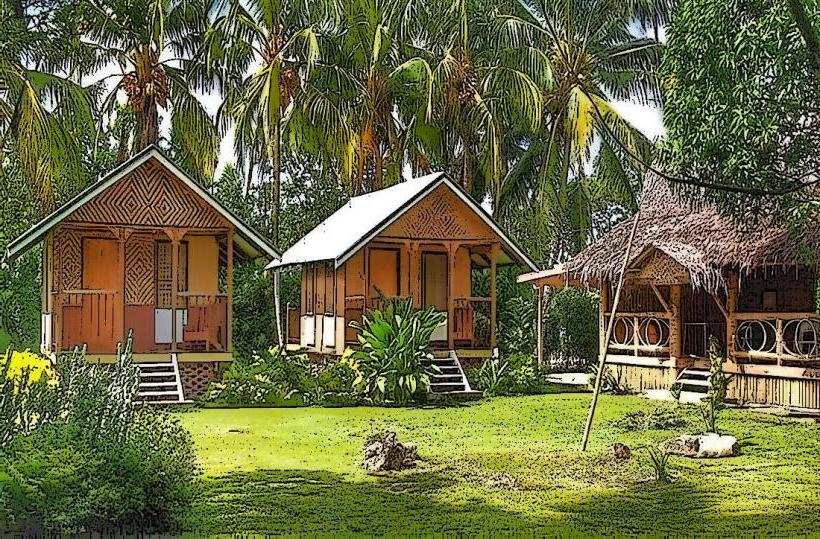
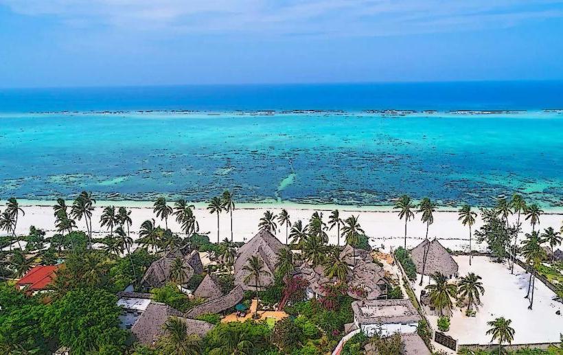
Visual Characteristics
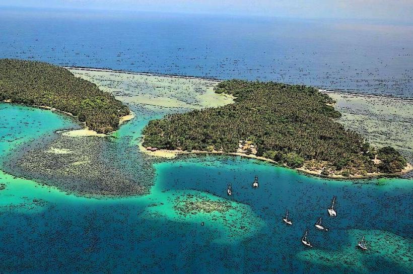
The coastline at Malaguna features a mix of fine, light-colored sand and exposed coral formations. The water clarity is generally high, with a turquoise hue in shallow areas transitioning to a deeper blue offshore. Coconut palms and other tropical vegetation line the immediate hinterland.
Location & Access Logistics
Malaguna is accessible via the Kavieng-Namatanai Highway (also known as the Boluminski Highway). The village is located 10 kilometers north of Kavieng. Travel time from Kavieng is approximately 15-20 minutes by vehicle. Limited parking is available along the roadside adjacent to the village. Public transport options are infrequent; local buses or private hire vehicles are the primary means of access from Kavieng.
Historical & Ecological Origin
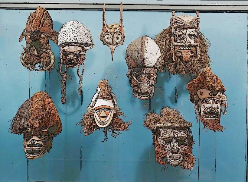
Malaguna is a traditional coastal settlement with a history tied to local Melanesian cultures. Ecologically, the area is part of a coral reef system, with the landmass formed from coral limestone and alluvial deposits.
Key Highlights & Activities
Activities include observing local fishing practices, walking along the beach, and swimming in the calm waters. Snorkeling is possible in the reef areas, particularly during calm sea conditions. Cultural interaction with the local community is also a possibility.
Infrastructure & Amenities
Basic amenities are limited. There are no formal public restrooms or designated shade structures. Cell phone signal (4G) is generally available but can be intermittent. Food vendors are not consistently present; visitors should plan to bring their own provisions.
Best Time to Visit
The best time of day for photography is generally mid-morning to early afternoon when sunlight is most direct. The dry season, from June to September, offers the most favorable weather conditions with lower rainfall. High tide is preferable for swimming and snorkeling to ensure adequate water depth over the reef.
Facts & Legends
A local belief states that certain coral formations offshore are the petrified remains of ancient sea spirits. Visitors are advised to respect local customs and ask permission before taking photographs of residents.
Nearby Landmarks
- Kavieng Market (10km South)
- Malendok Island (12km Northeast, accessible by boat)
- Boluminski Highway viewpoints (various locations along the highway, within 5km radius)
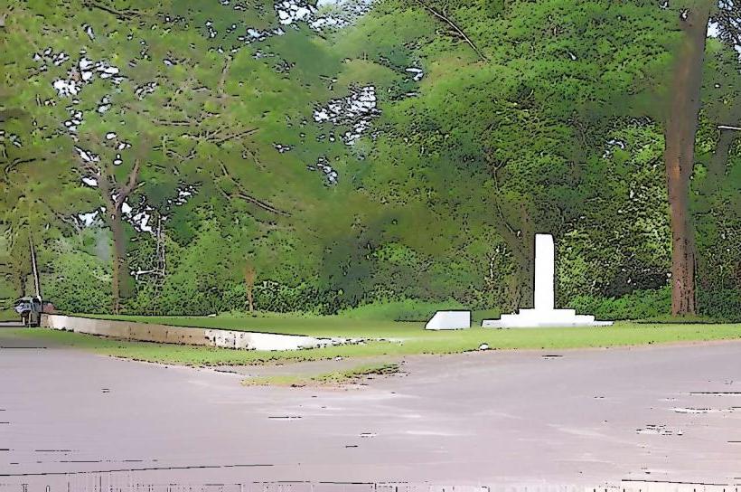
- Rabaul Queen Memorial (11km South)