Landmark: Khor Najd
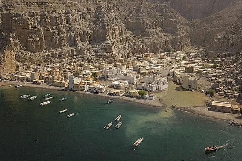
City: Khasab
Country: Oman
Continent: Asia
Khor Najd, Khasab, Oman, Asia
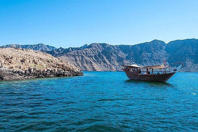
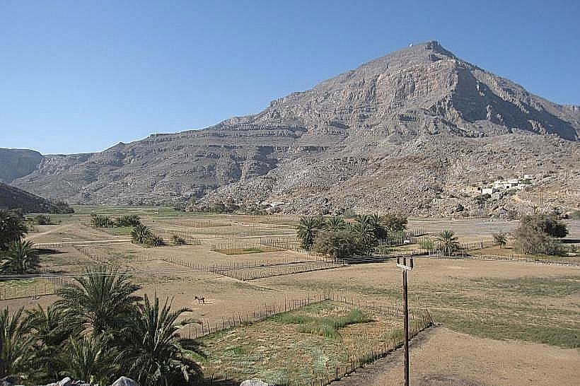
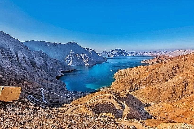
Khor Najd is a scenic fjord located in the Musandam Governorate of Oman, situated approximately 25 kilometers from the city of Khasab. It is one of the few khors (inlets) in the region accessible by both land and sea, positioned along the coastline facing the Sea of Oman.
Visual Characteristics
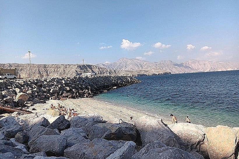
The landmark is defined by a deep turquoise lagoon framed by steep, rust-colored limestone mountains that rise abruptly from the water's edge. The bay features a crescent-shaped shoreline with a mixture of sand and shingles. From the mountain pass above, the viewpoint provides a panoramic perspective of the zigzagging road descending toward the water and the stark contrast between the arid rock formations and the marine basin.
Location & Access Logistics
Access by land is via a graded, unpaved mountain road that requires a 4x4 vehicle due to steep inclines and sharp switchbacks. The turn-off is located approximately 15 kilometers south of Khasab on the main road toward the interior. By sea, it is reached via dhow or speedboat from Khasab Port, a journey of roughly 45 minutes. There is no public transportation to the site; visitors must use private off-road vehicles or book organized boat tours.
Historical & Ecological Origin
The name "Najd" translates to "help" or "succor," historically referring to the site's role as a traditional sanctuary for travelers and fishermen seeking refuge from turbulent seas in the Strait of Hormuz. Geologically, it is a submerged valley formed by tectonic subsidence. The surrounding waters support a diverse reef ecosystem and serve as a habitat for various ray species and small reef sharks.
Key Highlights & Activities
The primary land-based activity is stopping at the 400-meter-high mountain pass viewpoint for photography of the fjord system. At the shoreline, visitors engage in wild camping, swimming, and shore-based fishing. Boat excursions often anchor in the bay for snorkeling, as the limestone cliffs provide underwater crevices that house colorful soft corals and schools of tropical fish.
Infrastructure & Amenities
The site is a primitive natural area with minimal infrastructure. There are no permanent restrooms, shops, or food vendors at the beach or the viewpoint. Shade is non-existent apart from what visitors provide themselves or find in small rock overhangs. 4G mobile signal is generally available at the high-altitude viewpoint but becomes weak or drops entirely at the water level due to the surrounding mountain walls.
Best Time to Visit
Winter months from November to March provide the most suitable climate for the mountain drive and camping, with temperatures between 18°C and 28°C. The optimal time for photography at the viewpoint is during the late afternoon when the sun is behind the camera, illuminating the turquoise water and the orange hues of the limestone. High clearance vehicles should avoid the access road during or immediately after rare rain events due to the risk of washouts.
Facts & Legends
Local maritime history identifies Khor Najd as a vital "emergency exit" for ancient dhow captains who would haul their boats across the narrowest point of the peninsula to avoid treacherous currents. A verified logistical oddity is the road itself, which was engineered to provide a rare land link to the sea in a region where almost all other fjords remain accessible only by boat.
Nearby Landmarks
Khalidiya Park (8.5km West)
Jebel Hareem (12.0km South)
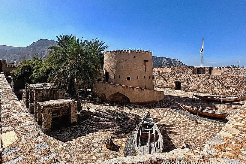
Khasab Fort (24.5km Northwest)
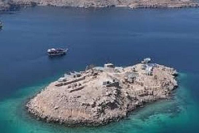
Telegraph Island (18.2km West)