Landmark: Wadi Khasab
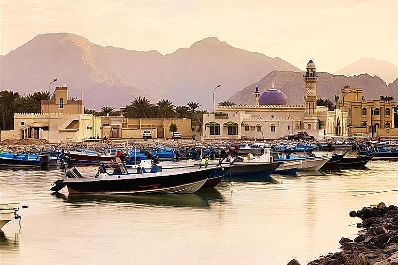
City: Khasab
Country: Oman
Continent: Asia
Wadi Khasab, Khasab, Oman, Asia
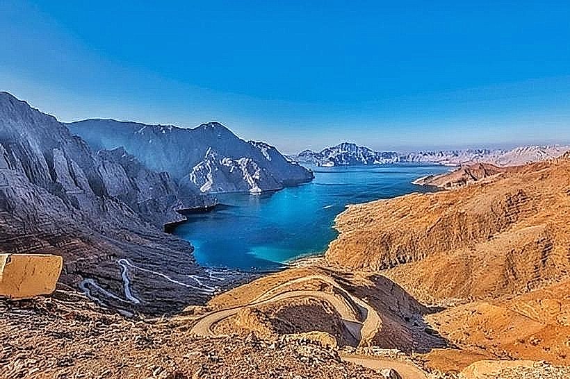
Wadi Khasab is a prominent seasonal riverbed and valley that originates in the Jebel Hareem highlands and terminates at the coastal plains of Khasab. It serves as the primary drainage basin for the northern Musandam Peninsula, directing rainwater from the interior mountains toward the Persian Gulf.
Visual Characteristics
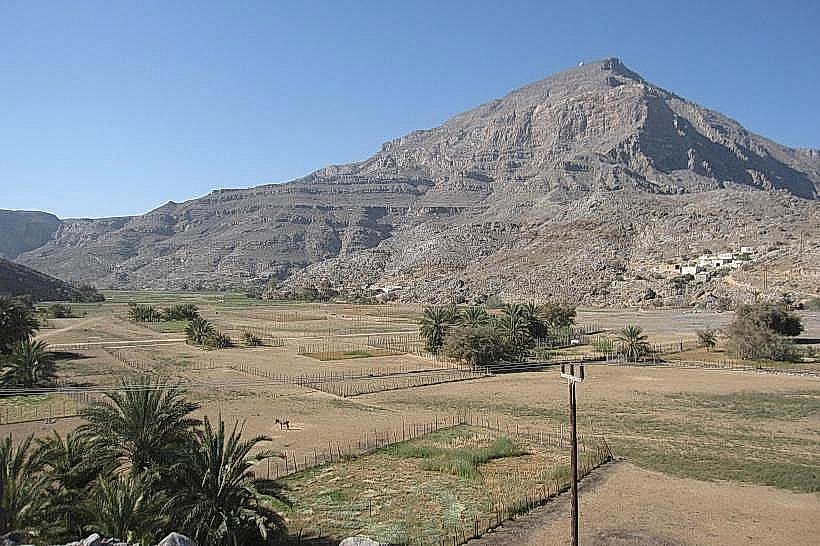
The wadi is defined by a wide, gravel-strewn floor flanked by steep, vertical limestone cliffs and jagged rock formations. The landscape is predominantly arid, featuring light-grey and beige stone strata, though the valley floor contains pockets of green vegetation, including hardy desert shrubs and acacia trees. During and immediately after rare rainfall events, the dry bed transforms into a flowing river, creating temporary pools and sediment deposits.
Location & Access Logistics
The wadi is accessible via paved and graded roads leading south from Khasab city center. The main entry point is located approximately 2 kilometers from Khasab Fort. While the lower reaches near the city are accessible by standard vehicles, exploring the upper sections toward the mountains requires a 4x4 vehicle due to loose gravel, large boulders, and steep inclines. There is no public transportation service into the wadi interior.
Historical & Ecological Origin
Geologically, Wadi Khasab was formed over millions of years through hydraulic erosion of the Hajar limestone range. Historically, it served as a vital transit corridor for mountain tribes moving between high-altitude summer grazing lands and coastal winter settlements. The wadi ecosystem supports specialized flora and fauna, including the Arabian tahr and various migratory bird species that utilize the seasonal water sources.
Key Highlights & Activities
Off-road driving is a primary activity, with tracks leading to several smaller tributary canyons and traditional stone-built mountain villages. The wadi offers numerous sites for wilderness camping and hiking along the base of the cliffs. Geology enthusiasts utilize the area to observe distinct sedimentary layers and prehistoric marine fossils embedded in the rock walls.
Infrastructure & Amenities
Infrastructure within the wadi is minimal to non-existent. There are no public restrooms, formal campsites, or permanent food vendors once leaving the Khasab municipal limits. Shade is limited to the shadows cast by high canyon walls or scattered acacia trees. Mobile signal (4G) is generally available in the lower sections but frequently drops out in the deeper, narrower parts of the valley.
Best Time to Visit
The most suitable time for exploration is from November to March, when daytime temperatures range from 20°C to 28°C. Morning is the optimal time for photography to capture the high-contrast shadows on the limestone facades. Visitors must monitor local weather forecasts strictly; the wadi is prone to sudden and dangerous flash floods during rain, even if the storm is occurring miles away in the mountains.
Facts & Legends
Local oral history describes the wadi as a "life-giver" to Khasab, as its seasonal floods recharge the underground aquifers that sustain the city's extensive palm groves. A verified historical oddity is the presence of ancient "bait al qufel" (stone lock houses) tucked into the canyon folds, which were designed to be cool in summer and warm in winter while securing the belongings of semi-nomadic inhabitants.
Nearby Landmarks
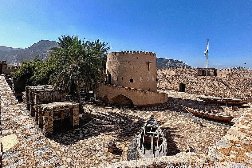
Khasab Fort (2.5km North)
Khasab Palm Groves (1.5km North)
Jebel Hareem (26.0km South)
Wadi Tawi (4.5km West)