Landmark: Koh Klang
City: Satun
Country: Thailand
Continent: Asia
Koh Klang, Satun, Thailand, Asia
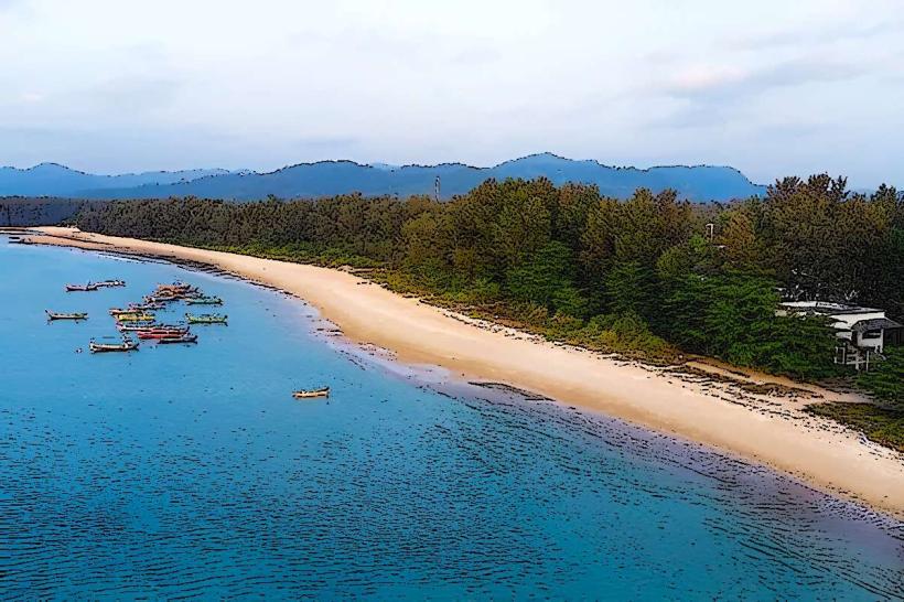
Koh Klang is a large mangrove island located in the Satun Province of southern Thailand, situated within the Andaman Sea.
Visual Characteristics
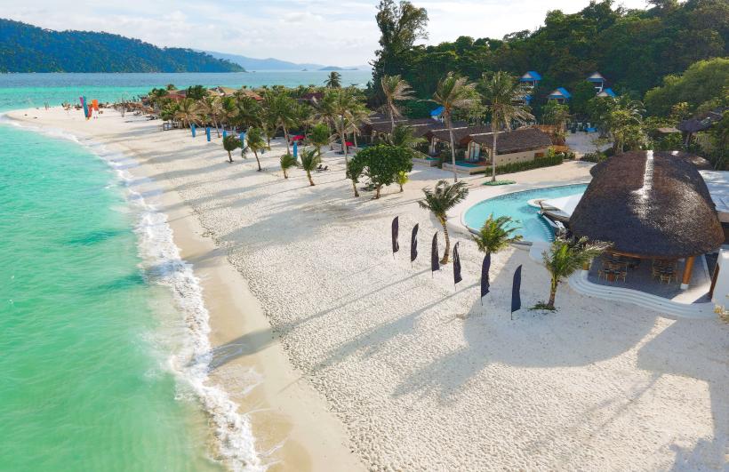
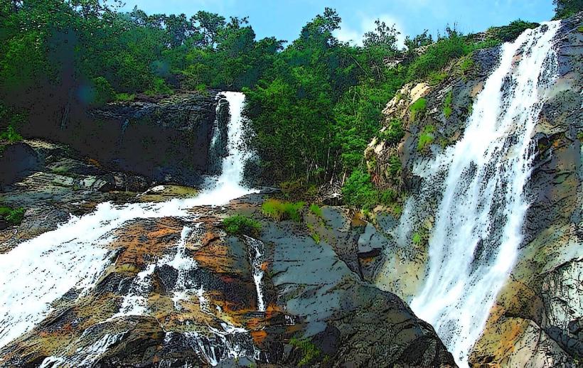
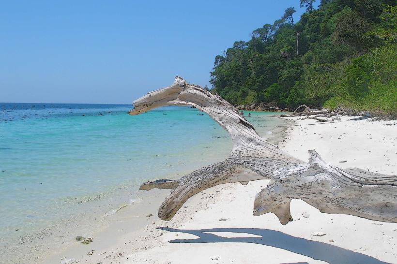
The island is characterized by extensive mangrove forests, with dense green foliage lining its shores. The coastline features muddy intertidal zones exposed during low tide. The island's interior consists of low-lying terrain with agricultural land and small villages.
Location & Access Logistics
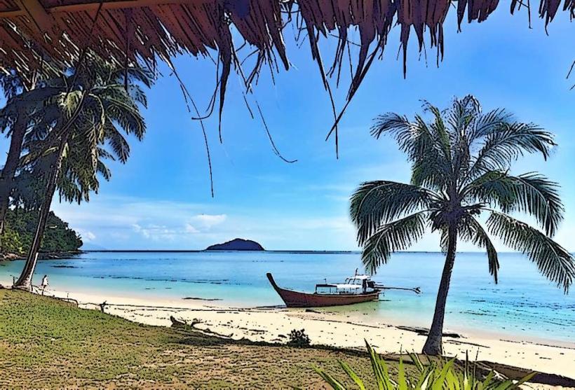
Koh Klang is accessible from the town of Satun. From Satun Pier, a 10-minute longtail boat ride is required to reach the island. The boats operate frequently throughout daylight hours. There is no vehicle access for tourists directly onto the island; local transport typically involves walking or renting bicycles.
Historical & Ecological Origin
Koh Klang is a natural landmass formed by sediment deposition over millennia, creating a significant mangrove ecosystem. The island's human settlement dates back several centuries, with its inhabitants traditionally relying on fishing and mangrove resource management.
Key Highlights & Activities
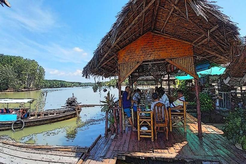
Activities include exploring the mangrove waterways via kayak or boat tours, observing local fishing practices, and visiting batik workshops. Walking or cycling through the island's villages and rice paddies is also possible. Birdwatching is a common activity due to the diverse avian population in the mangroves.
Infrastructure & Amenities
Basic amenities are available in the main village areas, including small shops selling drinks and snacks. Restrooms are generally available at homestays or designated visitor points. Cell phone signal (4G) is present in village centers but can be intermittent in more remote areas. Shade is provided by the mangrove canopy and village structures.
Best Time to Visit
The dry season, from November to April, offers the most favorable weather conditions with less rainfall. The best time of day for mangrove exploration is during the morning or late afternoon to observe wildlife activity and benefit from softer light for photography. High tide is generally preferred for boat tours to navigate deeper into the mangrove channels.
Facts & Legends
A notable aspect of Koh Klang is its community-based tourism model, where local villagers directly manage and benefit from visitor activities, promoting sustainable practices. The island is also known for its unique "sea gypsy" culture, with a history of adaptation to the coastal environment.
Nearby Landmarks
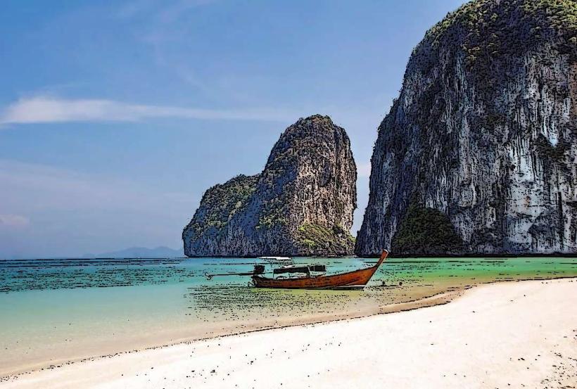
- Tarutao National Marine Park (15km Southwest)
- Satun Geopark Visitor Centre (3km West)
- Pak Bara Pier (10km Northwest)
- Ko Lipe (40km Southwest)