Landmark: Pakarang Bay
City: Satun
Country: Thailand
Continent: Asia
Pakarang Bay, Satun, Thailand, Asia
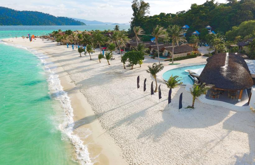
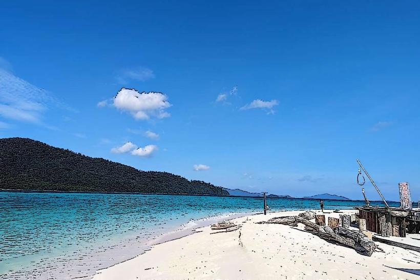
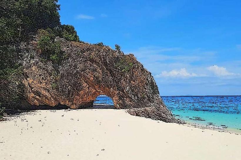
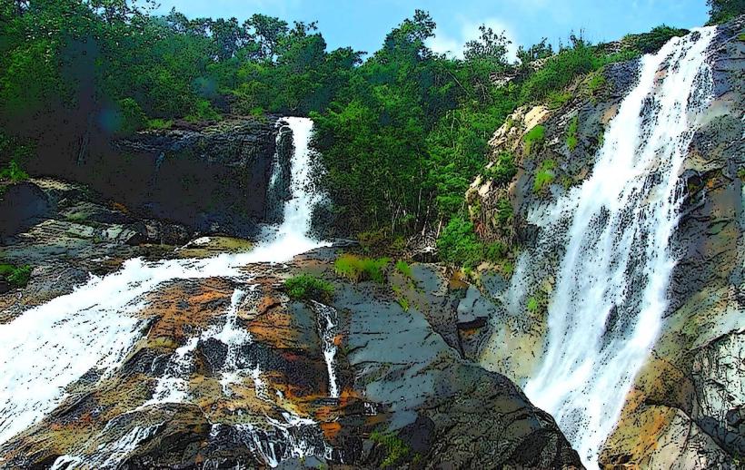
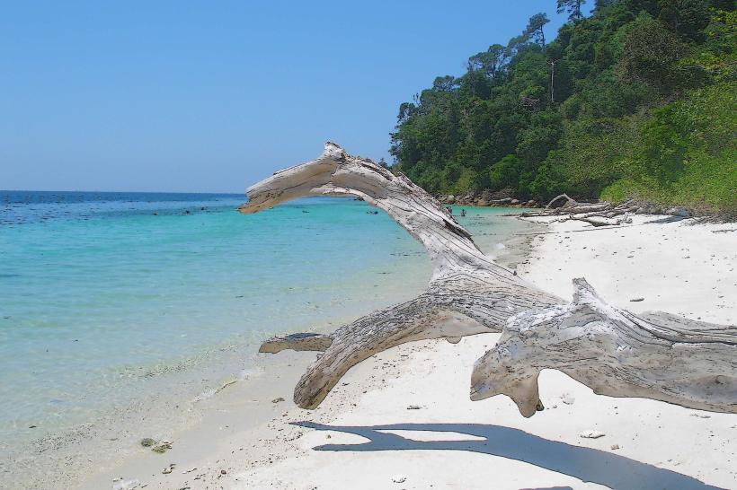
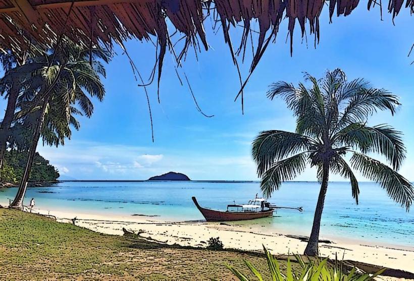
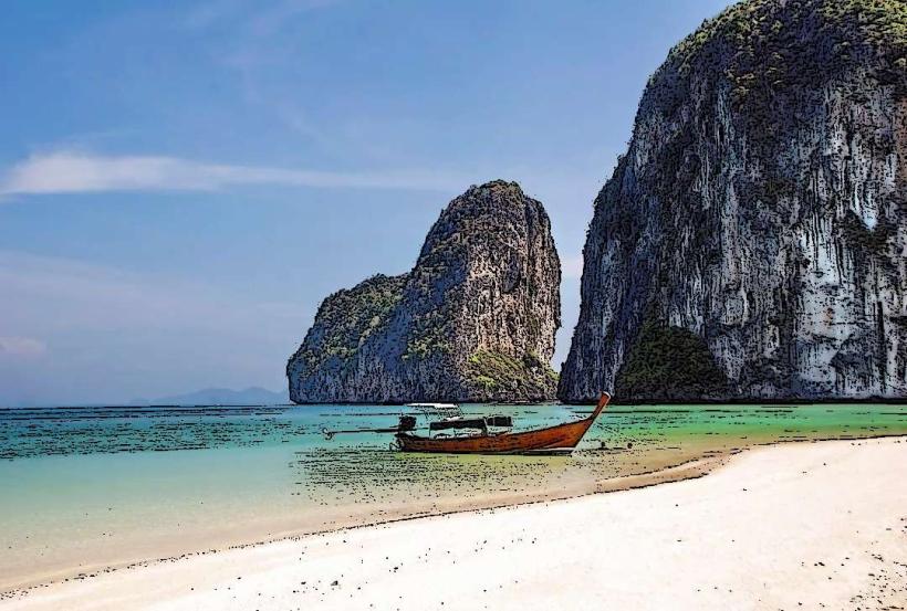
Pakarang Bay is a coastal area located in the Satun Province of Thailand. It is characterized by its limestone karst formations and clear waters.
Visual Characteristics
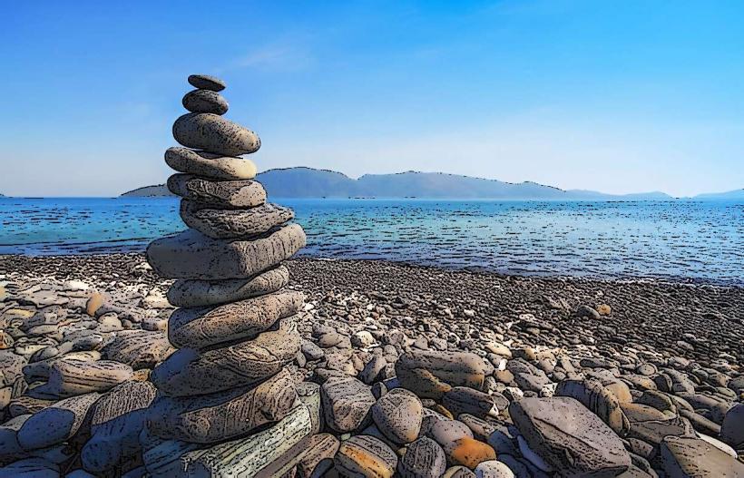
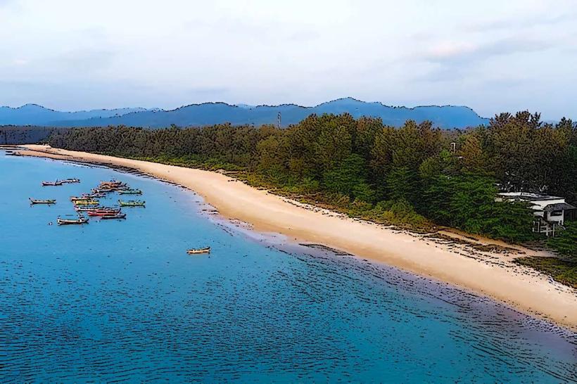
The bay features towering limestone cliffs, some reaching over 100 meters in height, with sheer faces and eroded overhangs. The water color ranges from emerald green to turquoise, depending on depth and light conditions. Small, sandy coves are interspersed between the cliff bases. Vegetation on the cliffs is sparse, primarily consisting of hardy scrub and small trees adapted to the rocky terrain.
Location & Access Logistics
Pakarang Bay is situated approximately 15 kilometers south of Satun town. Access is primarily via Route 406, turning onto local roads signposted for Pakarang. The final approach involves a 2-kilometer unpaved track suitable for most vehicles. Limited parking is available at the bay's main access point. No public transport directly serves the bay; private car or taxi is recommended.
Historical & Ecological Origin
The limestone formations in Pakarang Bay are part of the larger Andaman Sea karst landscape, formed over millions of years through the dissolution of carbonate rocks by acidic rainwater. These formations are geologically classified as tropical karst towers. The bay's ecosystem supports a variety of marine life adapted to shallow reef and rocky shore environments.
Key Highlights & Activities
Kayaking through the sea caves and around the karst formations is a primary activity. Snorkeling is possible in sheltered areas, particularly during calm conditions. Boat tours often include stops for swimming and observing the geological features from the water.
Infrastructure & Amenities
Basic amenities are limited. There are no permanent restroom facilities or food vendors directly at the bay. Shade is minimal, provided only by natural overhangs on the cliffs. Cell phone signal (4G/5G) is generally weak to non-existent within the bay itself.
Best Time to Visit
The best time for clear water visibility and calm seas is between November and April. Mid-morning (9:00 AM - 11:00 AM) offers good lighting for photography of the cliffs. High tide is generally preferable for accessing some of the smaller coves by kayak.
Facts & Legends
Local folklore suggests that some of the larger karst formations are petrified ships or ancient giants. Geologically, the area is known for its rich fossil content within the limestone, indicating a past marine environment.
Nearby Landmarks
- Koh Lipe (25km Southwest)
- Tarutao National Marine Park Headquarters (18km Southwest)
- Satun Provincial Hall (15km North)
- Wat Phra Thong (12km Northwest)