Landmark: La-ngu Beach
City: Satun
Country: Thailand
Continent: Asia
La-ngu Beach, Satun, Thailand, Asia
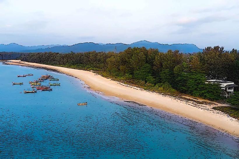
La-ngu Beach is a coastal area located in the Satun Province of Thailand.
It is characterized by its long stretch of sand and proximity to mangrove forests.
Visual Characteristics
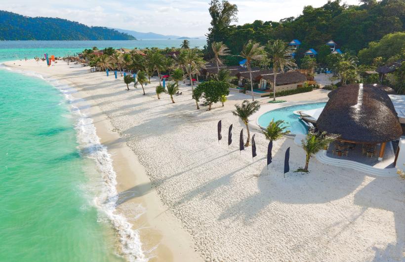
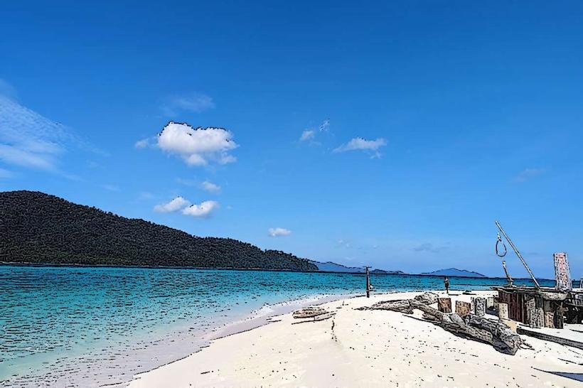
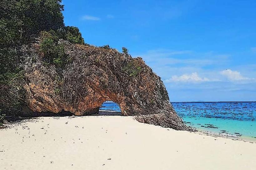
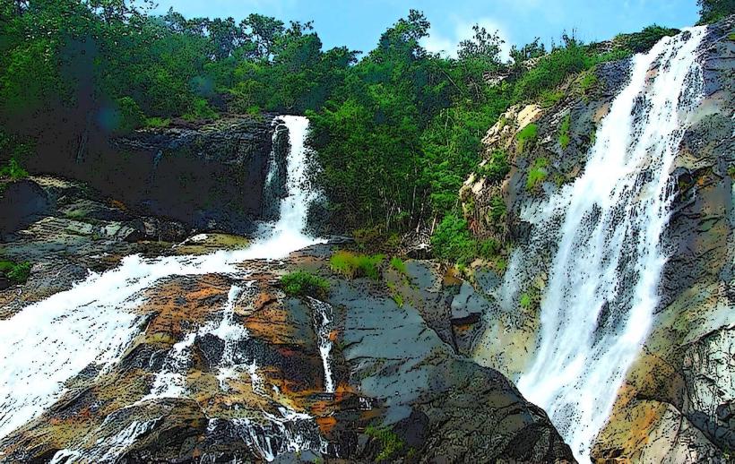
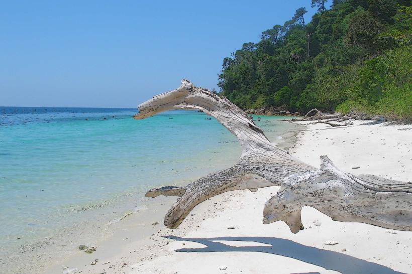
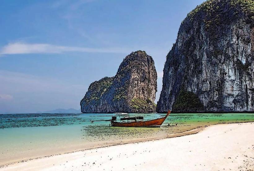
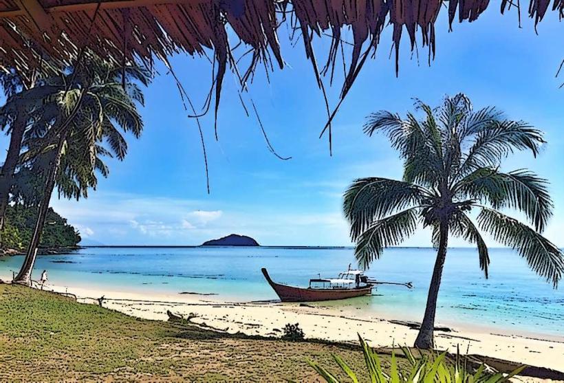
The beach features a coastline composed of fine, light-brown sand. The water clarity varies, often appearing greenish-blue. Offshore, limestone karst formations are visible. The immediate hinterland is dominated by dense mangrove vegetation, with a canopy of green foliage.
Location & Access Logistics
La-ngu Beach is situated approximately 15 kilometers west of the town of Satun. Access is via Highway 406, turning onto local road 4059 towards Pak Nam. The final approach is via a paved road leading directly to the beach. Parking is available in designated areas adjacent to the beach, with capacity for approximately 50 vehicles. Public transport options are limited; local songthaews (shared taxis) operate from Satun town to the vicinity of the beach, requiring a short walk for the final segment.
Historical & Ecological Origin
The beach is part of the coastal plain of Satun Province, shaped by millennia of marine erosion and sediment deposition. The adjacent mangrove ecosystems are vital intertidal zones, acting as nurseries for marine life and providing coastal protection. These mangroves are a natural ecological formation, not a constructed site.
Key Highlights & Activities
Walking along the shoreline is a primary activity. Observing the mangrove ecosystem from designated viewpoints is possible. Swimming is permitted, though currents can be present. Fishing from the shore is practiced by local residents.
Infrastructure & Amenities
Basic restroom facilities are located near the parking area. Shade is provided by natural tree cover along the beach edge and a few small, open-air shelters. Cell phone signal (4G) is generally available. Food vendors are typically present on weekends and public holidays, offering local snacks and beverages.
Best Time to Visit
For photography, early morning (06:00-08:00) offers soft light and calmer seas. The dry season, from November to April, provides the most favorable weather conditions with less rainfall. High tide is generally preferred for swimming.
Facts & Legends
Local folklore suggests that the karst formations offshore are the petrified remains of ancient sea creatures. A specific tip for visitors is to explore the small channels within the mangrove forest during low tide to observe mudskippers and other intertidal fauna.
Nearby Landmarks
- Tarutao National Marine Park (25km Southwest)
- Satun Geological Park (18km East)
- Koh Lipe (40km Southwest, accessible via ferry from Pak Bara Pier)
- Phu Khao Thong (Golden Mountain) Temple (12km East)