Information
Landmark: Lake RolandCity: Baltimore
Country: USA Maryland
Continent: North America
Lake Roland, Baltimore, USA Maryland, North America
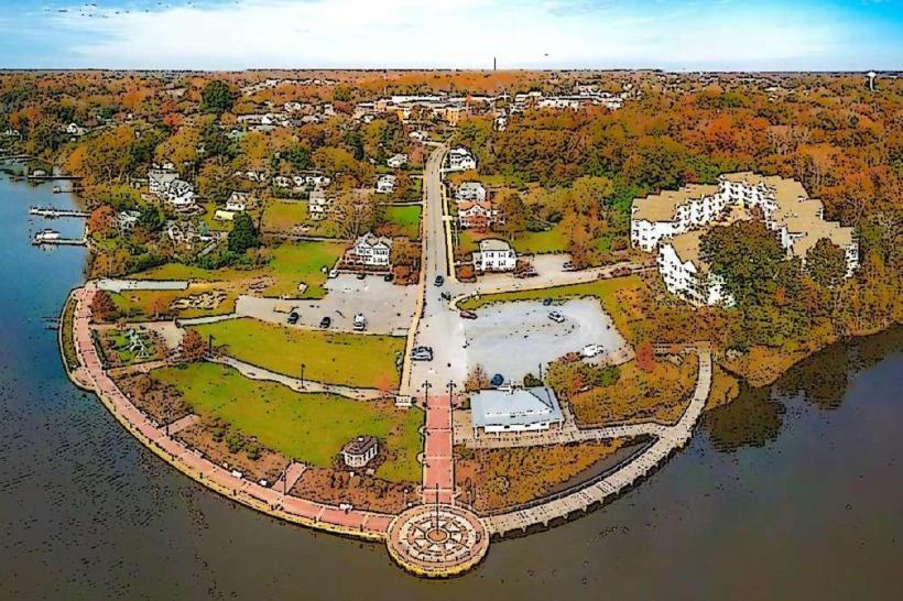
Lake Roland is a reservoir located in Baltimore County, Maryland, serving as a primary water source for the city of Baltimore.
It is situated approximately 10 miles north of downtown Baltimore.
Visual Characteristics
The lake's surface area is approximately 100 acres. The surrounding terrain consists of mixed deciduous and coniferous forest. The shoreline is irregular, with several coves and peninsulas. Water clarity varies seasonally but is generally moderate.
Location & Access Logistics
Access to Lake Roland is primarily via Roland Avenue (MD 531) and Falls Road (MD 25). From downtown Baltimore, take I-83 North to Exit 10 (Cold Spring Lane) and proceed west to Roland Avenue. The park entrance is clearly marked off Roland Avenue. Parking is available in designated lots within Lake Roland Park. Public transportation options include MTA Bus Line 58, which stops near the park entrance on Roland Avenue.
Historical & Ecological Origin
Lake Roland was created in 1858 by the construction of the original Roland Dam, designed by engineer John B. Jervis. Its original purpose was to provide a reliable water supply for the growing city of Baltimore. The dam was later reconstructed and enlarged in the early 20th century. The area is part of the Piedmont physiographic province, characterized by rolling hills and a temperate deciduous forest ecosystem.
Key Highlights & Activities
Activities include fishing (license required), kayaking, and paddleboarding. Hiking trails are available around the perimeter of the lake. Birdwatching is a common activity due to the diverse avian population. The Lake Roland Nature Center offers educational programs.
Infrastructure & Amenities
Restrooms are available at the Lake Roland Nature Center and at designated picnic areas. Shaded picnic tables are located throughout the park. Cell phone signal (4G/5G) is generally available within the park. No food vendors are permanently located within the park, but nearby shopping centers on Falls Road offer dining options.
Best Time to Visit
For photography, early morning or late afternoon provides optimal lighting conditions. The best months for outdoor activities are April through October, with mild temperatures. Fishing is often productive in spring and fall. No specific tide requirements apply.
Facts & Legends
A local legend suggests that the original dam construction involved a significant engineering challenge due to the underlying bedrock. A verified historical fact is that the lake's water level is managed by the Baltimore City Department of Public Works for water supply purposes.
Nearby Landmarks
- Cylburn Arboretum (1.2km South)
- The Baltimore Museum of Art (3.5km Southeast)
- Green Spring Station (2.1km Northwest)
- St. Mary's Seminary and University (4.0km South)