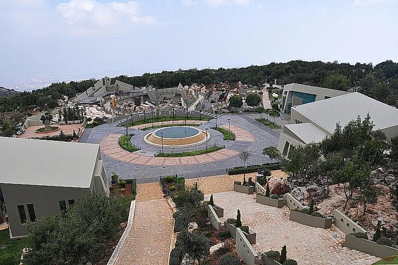
Landmark: Mleeta Landmark
City: Nabatieh
Country: Lebanon
Continent: Asia
Mleeta Landmark, Nabatieh, Lebanon, Asia
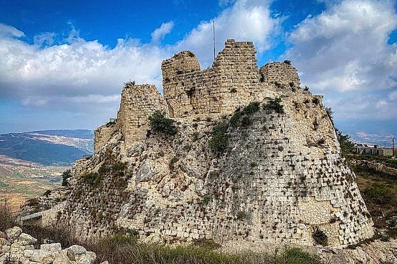
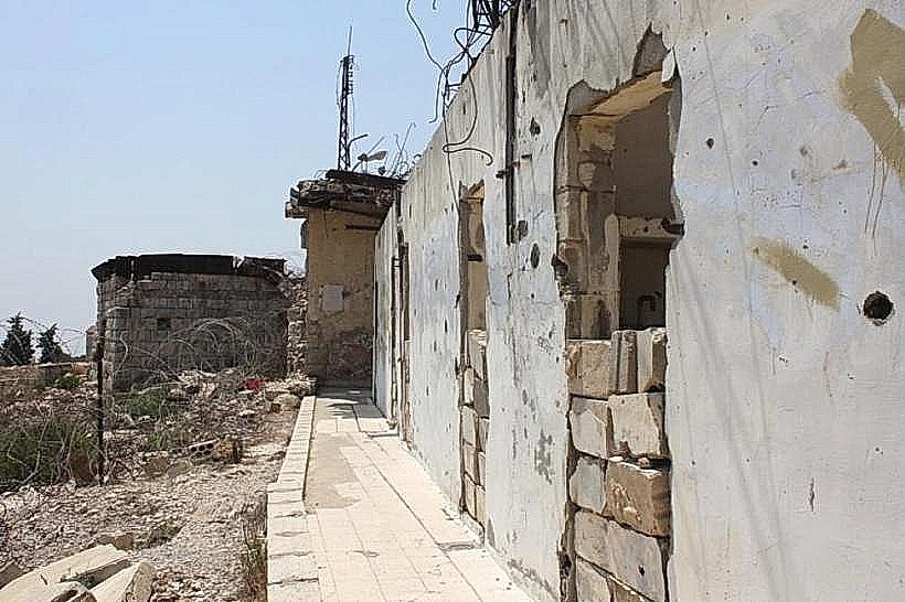
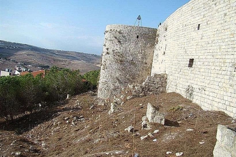
The Mleeta Landmark, formally known as the Mleeta Tourist Landmark or the Tourist Site of the Resistance, is an open-air military museum located on the Mleeta mountain ridge near the town of Jarjouh in the Nabatieh Governorate of Southern Lebanon. The site occupies a heavily fortified hill station that served as a strategic military outpost during regional conflicts in the late 20th century.
Visual Characteristics
The Mleeta Landmark features an expansive outdoor exhibition integrated into a dense oak and pine forest on a rocky limestone mountain. The central exhibition space includes a large, sunken concrete pit filled with captured military hardware, including tanks, armored personnel carriers, and artillery pieces twisted and embedded in stone. The site contains a network of winding dirt paths, reinforced underground bunkers, sandbagged observation trenches, and a 200-meter-long subterranean tunnel carved into the solid mountain rock. The architectural design of the modern visitor center utilizes sharp geometric concrete angles and dark granite finishes that contrast with the natural green vegetation.
Location & Access Logistics
The site is located approximately 80 kilometers south of Beirut and 23 kilometers northeast of the city of Nabatieh. Access from Beirut is via the Southern Coastal Highway to Saida, turning inland toward Habboush and proceeding up the winding mountain roads through Kfar Fila, Ain Bouswar, and Jarjouh. A large, paved asphalt parking lot is maintained at the main entrance to accommodate private vehicles and tour buses. Public transport is non-existent to the specific ridge, necessitating the use of private transport, rental vehicles, or a private taxi hired from Nabatieh or Saida.
Historical & Ecological Origin
The mountain ridge functioned as a primary operational base and fortification for Hezbollah forces between 1982 and 2000, positioned to monitor and engage opposing military movements in the occupied southern zone. The site was converted into a formal historical museum and opened to the public in May 2010 to commemorate the tenth anniversary of the Israeli withdrawal from Southern Lebanon. Geologically, the landmark sits on a rugged karst limestone formation within the Lebanese mountain system, experiencing cold, rainy winters and hot, dry summers typical of the mid-altitude Mediterranean climate zone.
Key Highlights & Activities
Walking through the structural labyrinth of "The Abyss," an outdoor installation displaying decommissioned military vehicles and weapons.
Traversing the 200-meter-long underground operational tunnel to inspect command rooms, field clinics, and sleeping quarters used by fighters.
Hiking the shaded forest trails of the "Path of Jihad" to observe camouflaged missile launchers and mortar pits.
Viewing historical tactical maps, multimedia presentations, and military equipment displays inside the indoor exhibition hall.
Infrastructure & Amenities
The Mleeta Landmark features highly developed tourist infrastructure managed by a structured administrative team. The main complex contains an air-conditioned visitor reception center, a ticketing office, an indoor theater building, and a dedicated prayer hall. Public flush restrooms are available at multiple points near the entrance and the main plaza. Due to the site's high infrastructure level, cell phone connectivity is strong and stable, providing full 4G and 5G network coverage. A full-service panoramic restaurant, a quick-service snack kiosk, and a souvenir gift shop operate continuously on the property.
Best Time to Visit
The optimal months for a visit are from April to November when the mountain trails are completely dry and pleasant for walking. Photography is highly effective between 09:30 and 11:30 to utilize clear morning light through the forest canopy, or between 16:00 and 18:00 when the low sun casts long shadows across the military installations of the outdoor plaza.
Facts & Legends
The underground tunnel network on the site was excavated entirely by hand using small drills and manual tools over a period of three years to prevent acoustic detection by airborne surveillance systems. Local accounts state that fighters lived and operated inside these subterranean chambers for weeks at a time without seeing daylight, utilizing complex ventilation pipes camouflaged as natural rock crevices or integrated into the roots of old oak trees.
Nearby Landmarks
Sujod Mountain Fortification Ridge: 3.5km Southeast
Jarjouh Village Square: 2.2km West
Nabaa al-Taseh Springs: 4.1km Southwest
Ain Bouswar Overlook: 1.8km Northwest