Landmark: Monte Trigo Road
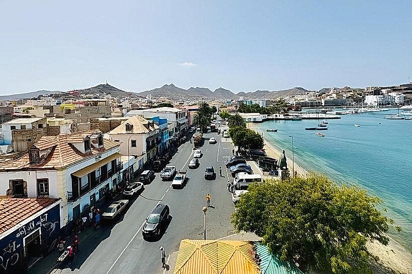
City: Porto Novo City
Country: Cabo Verde
Continent: Africa
Monte Trigo Road, Porto Novo City, Cabo Verde, Africa
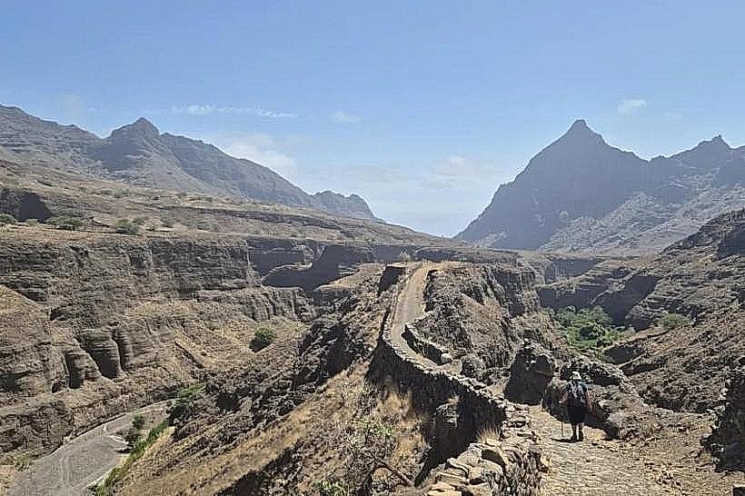
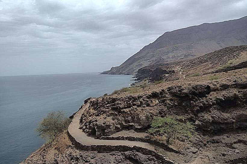
Monte Trigo Road is a specific route located in Porto Novo City, Cape Verde. It serves as a primary access point to the island's interior and coastal areas.
Visual Characteristics
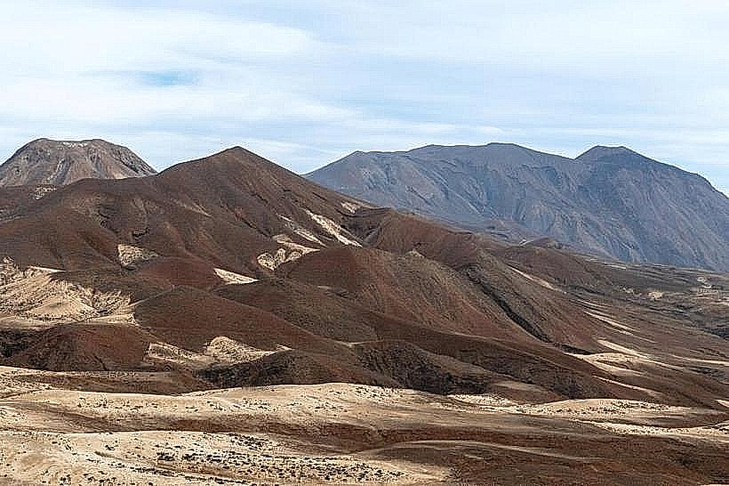
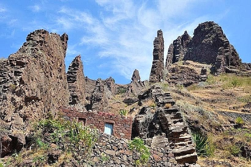
The road is primarily an unpaved track, varying in width from 3 to 6 meters. It traverses arid, rocky terrain characterized by volcanic soil and sparse, low-lying scrub vegetation. The landscape features exposed basalt rock formations and occasional dry riverbeds (ribeiras). The road surface is predominantly gravel and compacted earth, with sections of loose scree.
Location & Access Logistics
Monte Trigo Road originates approximately 2 kilometers west of the Porto Novo city center. Access is via the EN1-CV1, a paved national road, turning south onto an unmarked dirt track. The road extends inland for approximately 15 kilometers. Parking is informal and available at various points along the route where the terrain allows. No public transport services operate directly on Monte Trigo Road.
Historical & Ecological Origin
The route's origin is functional, developed over time by local inhabitants for agricultural and pastoral access. Ecologically, the area is classified as a semi-arid zone within the Cape Verde dry forests and woodlands ecoregion, shaped by volcanic activity and erosion.
Key Highlights & Activities
Hiking is possible along the road and its adjacent trails. Observation of geological formations is a primary activity. Photography of the arid landscape is recommended. Access to remote coastal areas and small agricultural plots is facilitated by this route.
Infrastructure & Amenities
There are no formal restrooms, shade structures, or food vendors directly on Monte Trigo Road. Cell phone signal (4G/5G) is intermittent and generally unavailable for significant portions of the route.
Best Time to Visit
The best time of day for photography is during the early morning or late afternoon to utilize oblique lighting on the terrain. The dry season, from November to June, offers the most favorable weather conditions, avoiding potential rain-induced road deterioration.
Facts & Legends
Local accounts suggest that during periods of drought, small, naturally occurring wells along the route were vital for livestock survival, with specific locations passed down through generations.
Nearby Landmarks
- Porto Novo City Center (2km East)
- Praia da Cruz (4km Southwest)
- Pico de Santa Antão (10km North - requires significant off-road travel)