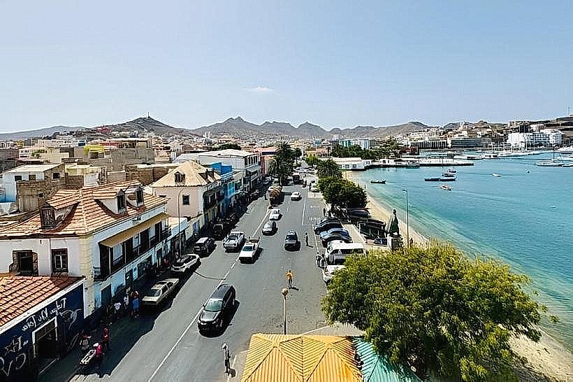
Landmark: Porto Novo Harbor
City: Porto Novo City
Country: Cabo Verde
Continent: Africa
Porto Novo Harbor, Porto Novo City, Cabo Verde, Africa
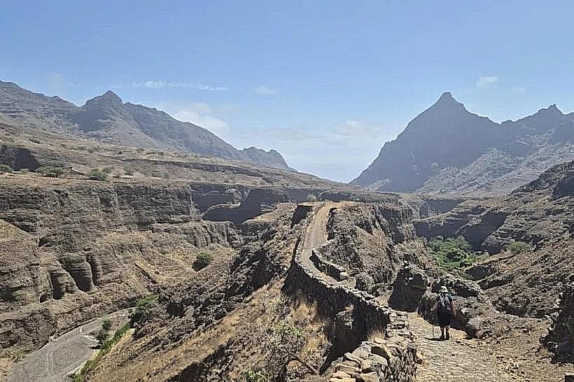
Porto Novo Harbor is a functional port facility located on the island of Santo Antão in Cabo Verde.
It serves as the primary maritime gateway for the island, connecting it to other islands in the archipelago and the African mainland.
Visual Characteristics
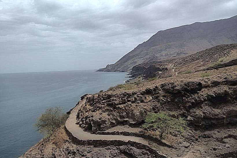
The harbor features a concrete breakwater extending into the Atlantic Ocean. The water within the harbor basin is typically a deep blue, influenced by ocean currents. The surrounding land is arid, characterized by volcanic rock formations and sparse, low-lying vegetation. Port infrastructure includes cargo handling areas, a passenger terminal building, and several moored vessels, ranging from small fishing boats to larger ferries and cargo ships.
Location & Access Logistics
Porto Novo Harbor is situated on the southwestern coast of Santo Antão. It is approximately 5 kilometers west of Porto Novo City center. Access is via the EN1-SA1 national road, which connects directly to the harbor entrance. Ample parking is available within designated port areas for private vehicles. Public transport options include local taxis and shared minibuses (aluguers) that run regularly between Porto Novo City and the harbor.
Historical & Ecological Origin
The current harbor infrastructure was largely developed in the late 20th century to improve maritime connectivity for Santo Antão. Prior to this, the location served as a natural anchorage point. Ecologically, the area is part of a semi-arid coastal zone, with marine life adapted to Atlantic conditions. The seabed composition is primarily volcanic sediment.
Key Highlights & Activities
Observation of cargo and ferry operations. Passenger transit to and from other islands. Limited opportunities for viewing local fishing activities from the quayside. No specific visitor activities are organized within the harbor itself.
Infrastructure & Amenities
A passenger terminal building provides basic waiting areas. Restrooms are available within the terminal. Limited shade is provided by port structures. Cell phone signal (4G) is generally available. Food vendors are typically located outside the main port gates, near the aluguer stops.
Best Time to Visit
For observing port activity, weekdays during daylight hours (08:00 to 17:00) are most active. The weather is generally consistent year-round, with less rainfall between November and June. Ocean conditions can be rough, particularly during the northern hemisphere winter months (December-March), which may affect ferry schedules.
Facts & Legends
A specific local anecdote relates to the naming of the harbor; "Porto Novo" translates to "New Port," reflecting its development as a modern maritime hub for the island.
Nearby Landmarks
- Porto Novo City Center (5km East)
- Ribeira Grande (15km North)
- Ponta do Sol (20km Northeast)