Landmark: Ribeira das Patas
City: Porto Novo City
Country: Cabo Verde
Continent: Africa
Ribeira das Patas, Porto Novo City, Cabo Verde, Africa
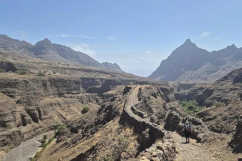
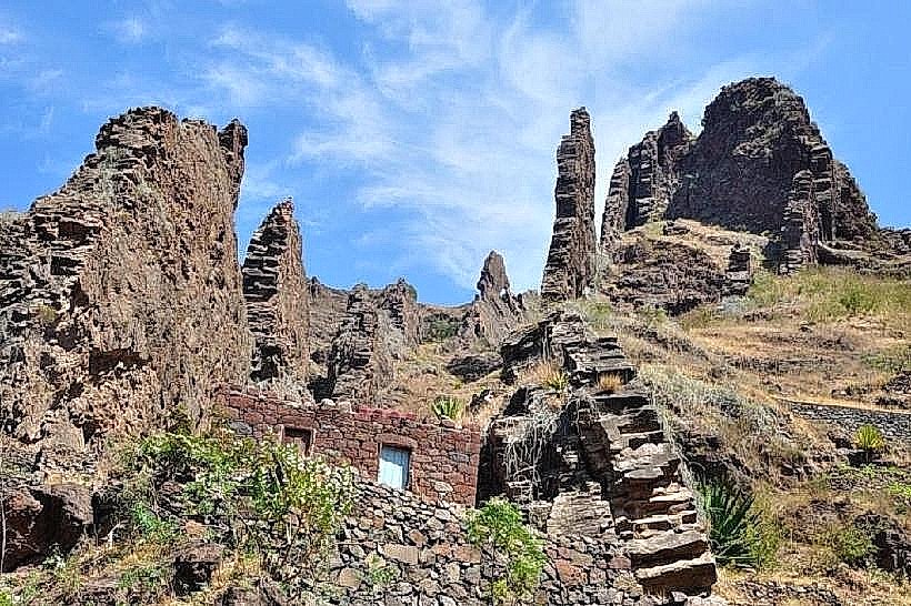
Ribeira das Patas is a geological formation located on the island of Santo Antão, Cabo Verde.
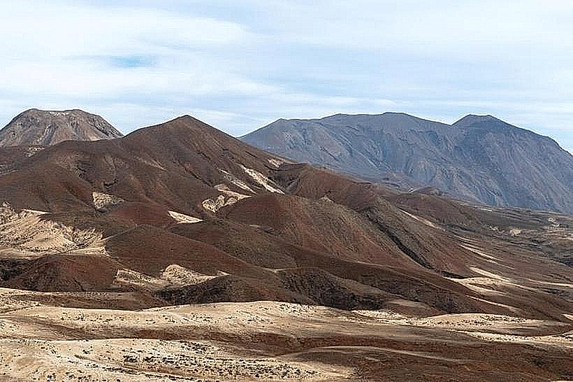
This site features a significant basaltic rock formation characterized by its columnar jointing.
Visual Characteristics
The formation consists of dark gray to black basalt columns, predominantly hexagonal in shape, exhibiting vertical alignment. The columns vary in height, with some reaching up to 10 meters. The surrounding terrain is arid, with sparse, low-lying vegetation.
Location & Access Logistics
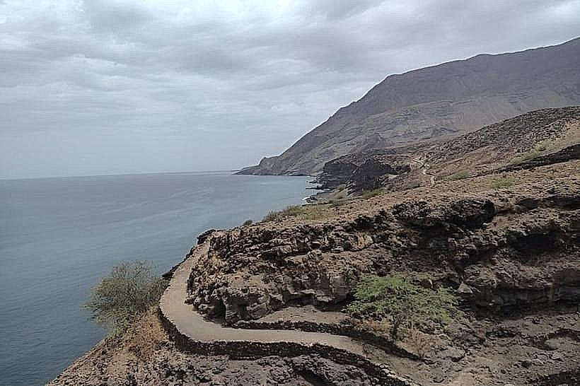
Ribeira das Patas is situated approximately 15 kilometers west of Porto Novo City. Access is via the EN1-SA01 national road, turning onto a dirt track approximately 5 kilometers past the town of Lagedos. The dirt track is approximately 2 kilometers long and is generally passable by 2WD vehicles in dry conditions; 4WD is recommended after rainfall. Parking is available at the end of the dirt track. No public transport directly serves the site.
Historical & Ecological Origin
The columnar basalt formations at Ribeira das Patas are the result of slow cooling of a thick lava flow. As the basalt cooled, it contracted, creating vertical fractures that formed the characteristic polygonal columns. This geological process is typical of volcanic regions.
Key Highlights & Activities
Observation of the basalt column formations is the primary activity. Visitors can walk among the columns and photograph the geological structures. Hiking trails are not formally established, but exploration of the immediate area is possible.
Infrastructure & Amenities
There are no facilities at Ribeira das Patas. Restrooms, shade, and food vendors are not available on-site. Cell phone signal (4G/5G) is intermittent to non-existent.
Best Time to Visit
The best time of day for photography is late afternoon, when the low-angle sun highlights the texture and form of the basalt columns. The dry season, from November to June, offers the most favorable weather conditions and road accessibility.
Facts & Legends
The name "Ribeira das Patas" translates to "River of the Feet," likely referring to the appearance of the column bases resembling animal feet. Local folklore does not contain specific legends associated with this site, but it is recognized for its unique geological presentation.
Nearby Landmarks
- Cova Crater (8km Northeast)
- Ribeira Grande Town (12km West)
- Tarrafal de São Nicolau (via ferry from Porto Novo, 30km South across the sea)
- Porto Novo City (15km East)