Landmark: Tope de Coroa
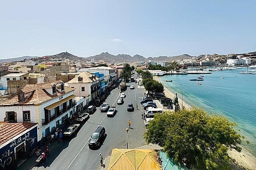
City: Porto Novo City
Country: Cabo Verde
Continent: Africa
Tope de Coroa, Porto Novo City, Cabo Verde, Africa
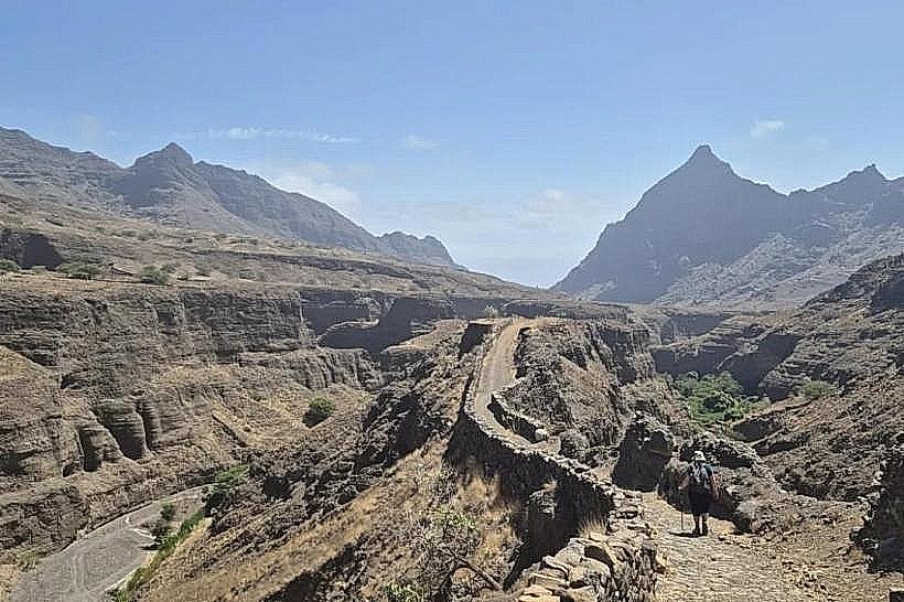
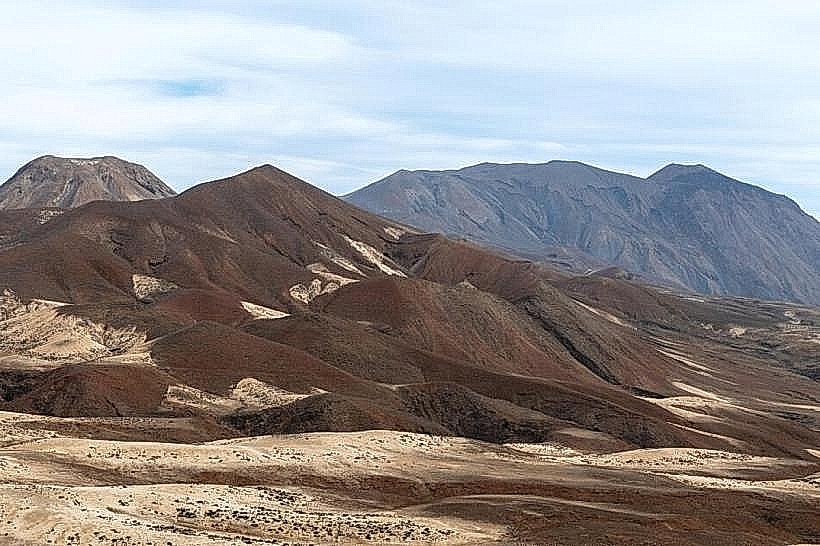
Tope de Coroa is a volcanic peak located on the island of Santo Antão in the Cape Verde archipelago.
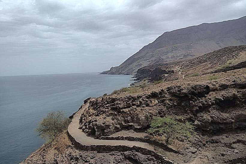
It is the highest point on the island, offering panoramic views of the surrounding landscape.
Visual Characteristics
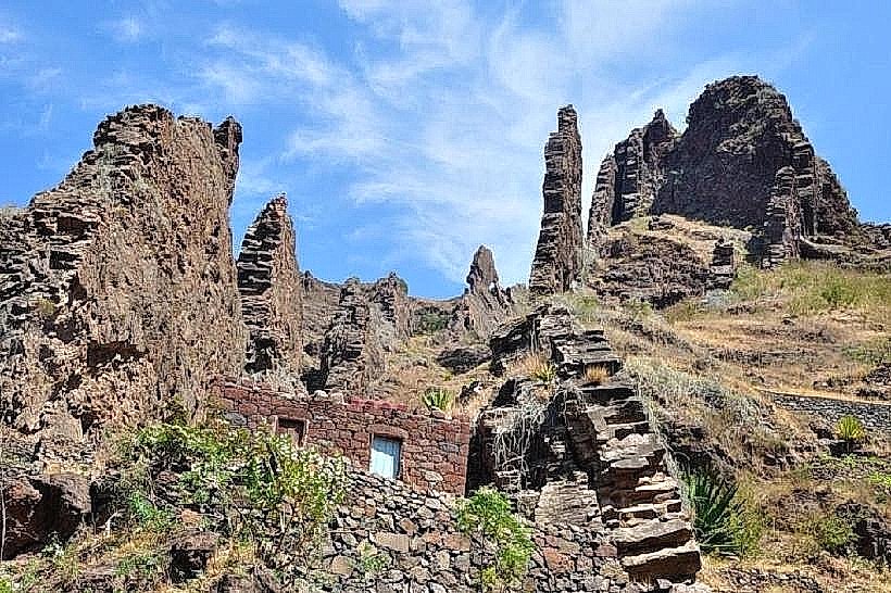
The peak is composed of dark volcanic rock, with sparse, low-lying vegetation adapted to arid conditions. The summit area is relatively flat, with exposed rock formations. The surrounding slopes are characterized by steep ravines and terraced agricultural fields at lower elevations.
Location & Access Logistics
Tope de Coroa is situated in the central-northern part of Santo Antão. Access is primarily via the regional road network. From Porto Novo City, take the EN1-SA1 towards Ribeira Grande, then follow signs for the village of Fontainhas. The final ascent to the peak requires a hike of approximately 2 kilometers from the nearest accessible point by vehicle, which is typically near the village of Caetano. Parking is limited to informal roadside areas near the trailhead. Public transport to the general vicinity is available via local aluguer (shared taxi) services connecting Porto Novo to Ribeira Grande and surrounding villages.
Historical & Ecological Origin
Tope de Coroa is a volcanic formation, part of the larger volcanic activity that created the Cape Verde islands. Its geological origin is linked to the formation of the island of Santo Antão, estimated to be millions of years old. The ecological classification is arid montane, with flora and fauna adapted to limited water availability and high altitudes.
Key Highlights & Activities
Hiking to the summit is the primary activity. The trail offers views of the island's interior and coastline. Photography of the landscape is recommended. Observation of local flora and fauna adapted to the environment.
Infrastructure & Amenities
There are no formal infrastructure or amenities at the summit of Tope de Coroa. Restrooms, shade, and food vendors are not available at the peak. Cell phone signal (4G/5G) may be intermittent or absent at higher elevations.
Best Time to Visit
The best time of day for photography is in the morning, between 9:00 AM and 11:00 AM, when the sun illuminates the eastern slopes. The best months for weather are generally from November to May, avoiding the rainy season. No tide requirements apply.
Facts & Legends
Local folklore suggests that the peak was once a sacred site for ancient inhabitants, used for astronomical observations. A specific tip for visitors is to carry sufficient water, as there are no water sources along the hiking trail.
Nearby Landmarks
- Ribeira Grande (Town) - 8km Southwest
- Fontainhas (Village) - 1.5km South
- Cova Crater (Volcanic Caldera) - 4km West
- Paul Valley (Agricultural Landscape) - 6km South