Landmark: Mount Haggin Wildlife Management Area
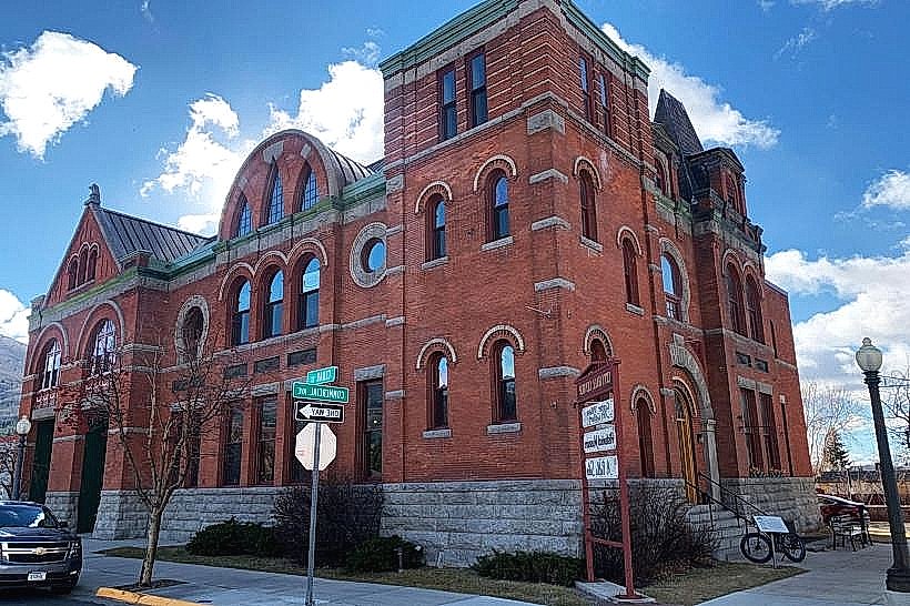
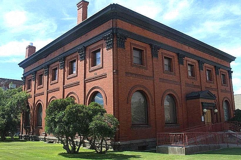
City: Anaconda
Country: USA Montana
Continent: North America
Mount Haggin Wildlife Management Area, Anaconda, USA Montana, North America
Mount Haggin Wildlife Management Area is a protected land parcel located southwest of Anaconda, Montana, USA. It functions as a habitat for various wildlife species and offers recreational opportunities.
Visual Characteristics
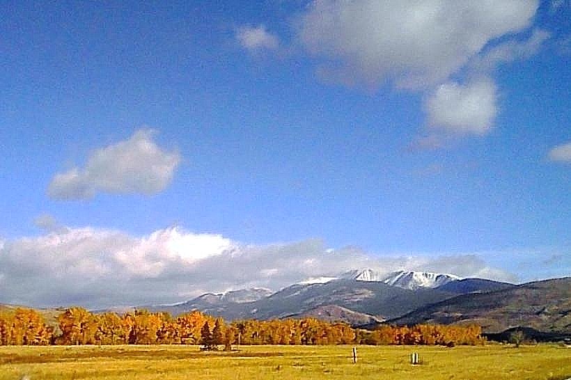
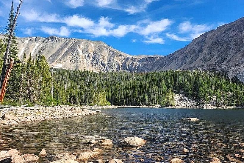
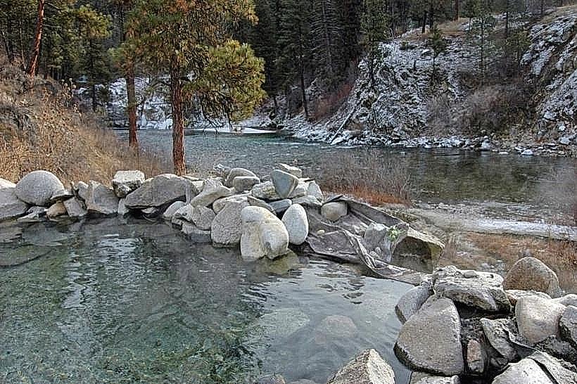
The area is characterized by rolling hills and mountainous terrain, with elevations ranging from approximately 6,000 to over 8,000 feet. Vegetation consists primarily of coniferous forests, including Douglas fir and lodgepole pine, interspersed with meadows dominated by grasses and forbs. Several small streams and ponds are present throughout the landscape. Rock outcroppings are visible on steeper slopes.
Location & Access Logistics
Mount Haggin Wildlife Management Area is situated approximately 15 miles southwest of Anaconda, Montana. Access is via Montana Secondary Highway 38 (Pintler Scenic Route) for a portion of the route, then turning onto Forest Service Road 719. The area is accessible by passenger vehicles during dry conditions. Gravel roads within the management area may require high-clearance vehicles. Parking is available at designated pull-offs and trailheads. No public transport services operate directly to the area.
Historical & Ecological Origin
The area's geological origin is tied to the Rocky Mountains' formation. Ecologically, it represents a transition zone between lower montane and subalpine forest ecosystems. Historically, the land was utilized for logging and grazing before its designation as a Wildlife Management Area to conserve habitat and provide public access for wildlife-related activities.
Key Highlights & Activities
Activities include hiking on designated trails, wildlife observation (e.g., elk, deer, various bird species), and photography. Fishing is permitted in designated waters. Hunting is allowed during established seasons, requiring appropriate licenses and adherence to regulations. Snowshoeing and cross-country skiing are winter activities.
Infrastructure & Amenities
Basic infrastructure includes marked trails and some primitive parking areas. Restrooms are not consistently available. Shade is provided by the forest canopy. Cell phone signal is generally unreliable within the management area.
Best Time to Visit
For wildlife viewing, early morning and late evening hours offer increased activity. The months of June through September provide the most accessible conditions for hiking and general exploration due to snowmelt. Fall (September-October) is notable for elk rut activity. Winter access is limited by snow depth.
Facts & Legends
A specific point of interest is the presence of historical mining remnants, including old cabins and prospecting sites, dating back to the late 19th and early 20th centuries. These are often found off established trails.
Nearby Landmarks
- Anaconda-Deer Lodge National Forest (0.1km North)
- Pintler Scenic Route (1km East)
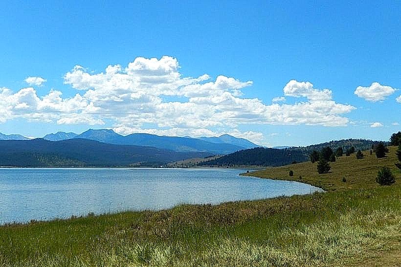
- Georgetown Lake (10km Northwest)
- Old Works Golf Course (15km Northeast)
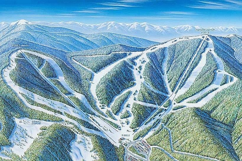
- Discovery Ski Area (20km Southwest)