Landmark: Warm Springs Creek
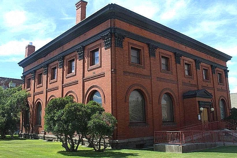
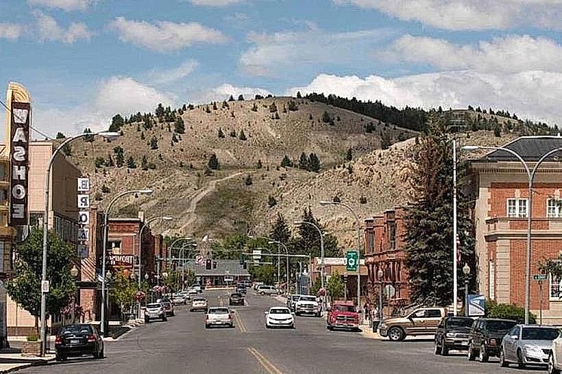
City: Anaconda
Country: USA Montana
Continent: North America
Warm Springs Creek, Anaconda, USA Montana, North America
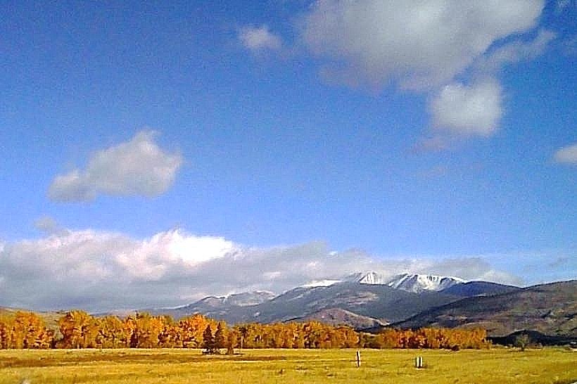
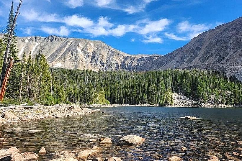
Warm Springs Creek is a natural watercourse located in Anaconda, Montana, USA. It flows through a valley characterized by its geological and historical significance.
Visual Characteristics
The creek bed is primarily composed of gravel and cobble. Water clarity varies, often appearing clear to slightly turbid depending on recent precipitation. The surrounding terrain features mixed conifer forest with interspersed meadows. Elevation ranges from approximately 5,500 feet at the lower sections to over 6,000 feet in higher elevations.
Location & Access Logistics
Warm Springs Creek is situated approximately 10 miles west of Anaconda, Montana. Access is primarily via Montana Highway 1 (MT-1), also known as the Pintler Scenic Route. Turnoffs are marked for the Warm Springs area. Parking is available at designated pull-offs along the highway and at trailheads. No public transport services operate directly to the creek.
Historical & Ecological Origin
The creek is a natural drainage feature, part of the larger watershed feeding into the Big Hole River. Its formation is a result of glacial and post-glacial erosion. Historically, the area was utilized by indigenous peoples and later by miners during the late 19th and early 20th centuries due to nearby mineral deposits.
Key Highlights & Activities
Fishing for trout (primarily rainbow and cutthroat) is a primary activity. Hiking trails follow sections of the creek, offering access to different vantage points. Wildlife observation, including deer and various bird species, is possible. Photography of the natural landscape is also a common pursuit.
Infrastructure & Amenities
Limited infrastructure exists. Designated parking areas are present. Restroom facilities are not consistently available along the creek itself; visitors should plan accordingly. Cell phone signal is intermittent to non-existent in most sections. No food vendors are located directly at the creek.
Best Time to Visit
For fishing, the best months are typically May through October. For hiking and general observation, late spring through early fall (June to September) offers the most favorable weather. Mid-morning to late afternoon provides adequate natural light for photography. Water levels are generally higher in late spring due to snowmelt.
Facts & Legends
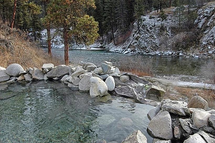
The Warm Springs area is named for the geothermal activity in the vicinity, though the creek itself is not geothermally heated. Local lore sometimes associates the area with early prospectors' tales of finding significant ore deposits, though large-scale mining operations were concentrated elsewhere.
Nearby Landmarks
- Old Montana State Prison Museum (12km East)
- Anaconda-Deer Lodge National Forest (Adjacent)
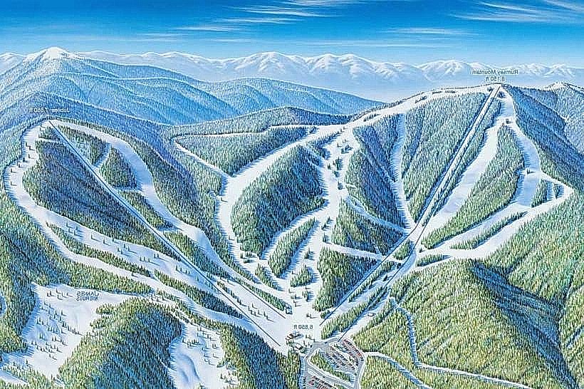
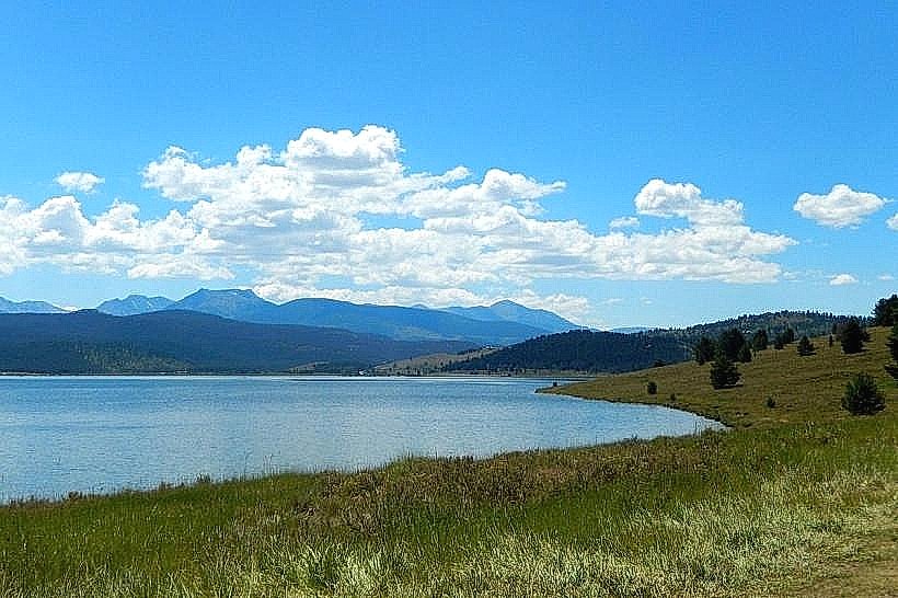
- Georgetown Lake (15km Northwest)
- Pintler Wilderness (Adjacent)