Landmark: Mount Tom Trail
City: Woodstock
Country: USA Vermont
Continent: North America
Mount Tom Trail, Woodstock, USA Vermont, North America
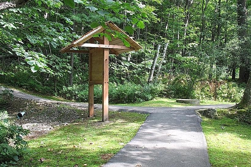
Mount Tom Trail is a hiking route located in Woodstock, Vermont, USA. It provides access to the summit of Mount Tom, offering panoramic views of the surrounding landscape.
Visual Characteristics
The trail is primarily a dirt path with sections of exposed rock and tree roots. The summit area features a rocky outcrop. Vegetation consists of deciduous forest, including maple, birch, and oak trees. The trail's elevation gain is approximately 1,000 feet (305 meters).
Location & Access Logistics
The trailhead is situated at the end of Old River Road in Woodstock, Vermont. This is approximately 1 mile (1.6 km) south of the Woodstock village center. Parking is available at a small, unpaved lot adjacent to the trailhead. There are no direct public transport routes to the trailhead; access requires private vehicle or taxi service.
Historical & Ecological Origin
Mount Tom is a geologically significant feature of the Appalachian Mountain system. The trail itself was established by local residents for recreational purposes, with its current form developed over decades of use and maintenance by volunteer groups. The area is characterized by temperate deciduous forest ecosystems.
Key Highlights & Activities
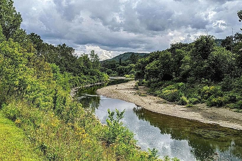
Hiking the main trail to the summit is the primary activity. The summit provides a vantage point for observing the Ottauquechee River valley and the town of Woodstock. Several smaller, unofficial side trails branch off the main path, offering varied terrain.
Infrastructure & Amenities
The trailhead has a small parking area. There are no restrooms or potable water sources along the trail or at the summit. Cell phone signal is intermittent and generally unreliable on the trail and at the summit.
Best Time to Visit
For optimal hiking conditions, the months of May through October are recommended. Mid-morning (9:00 AM - 11:00 AM) and late afternoon (3:00 PM - 5:00 PM) offer the best lighting for photography due to reduced direct sunlight on the trail and summit.
Facts & Legends
A local anecdote suggests that the summit was once used as a lookout point by early settlers to monitor for approaching travelers or potential threats. The name "Mount Tom" is believed to be derived from a common place name in England, reflecting early colonial settlement patterns.
Nearby Landmarks
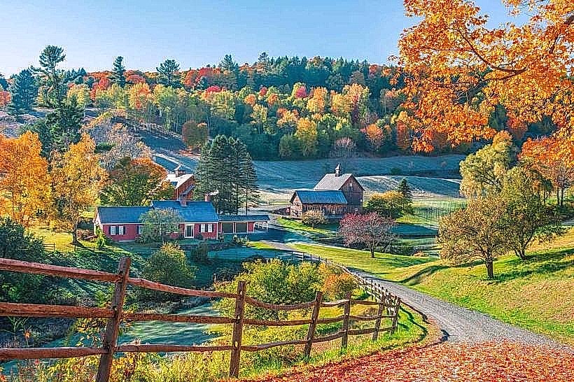
- Billings Farm & Museum (1.5km Northwest)
- Woodstock Village Green (1.8km Northwest)
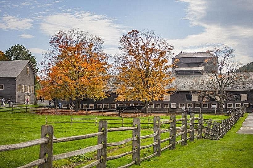
- Marsh-Billings-Rockefeller National Historical Park (2.2km Northwest)
- Quechee Gorge State Park (8km Northeast)