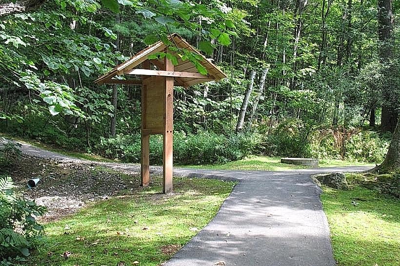
Landmark: Prosper Road Trailhead
City: Woodstock
Country: USA Vermont
Continent: North America
Prosper Road Trailhead, Woodstock, USA Vermont, North America
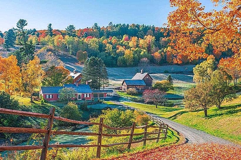
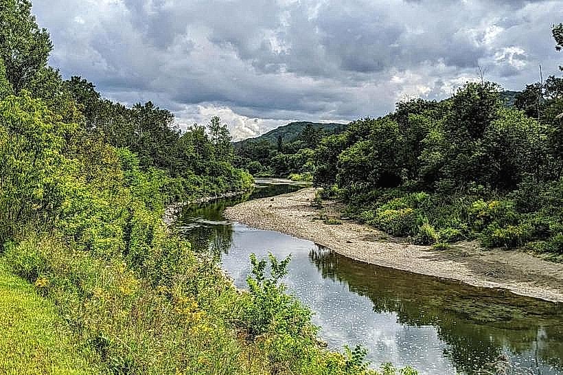
The Prosper Road Trailhead provides access to hiking trails in Woodstock, Vermont. It serves as a starting point for exploring the local natural landscape.
Visual Characteristics
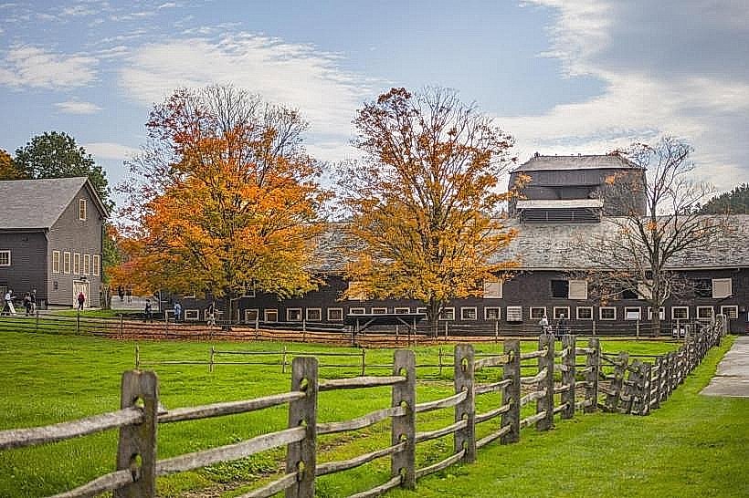
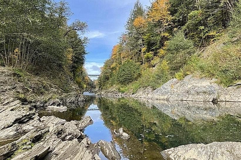
The trailhead area is characterized by a gravel parking lot adjacent to a dirt access road. Trail markers are typically wooden posts with painted symbols. The surrounding vegetation consists of deciduous trees, primarily maple and oak, with undergrowth of ferns and mosses.
Location & Access Logistics
The Prosper Road Trailhead is located 4.8 kilometers (3 miles) south of the Woodstock village center. Access is via Prosper Road, a paved public road. Parking is available in an unpaved lot with capacity for approximately 15 vehicles. No public transport directly serves the trailhead.
Historical & Ecological Origin
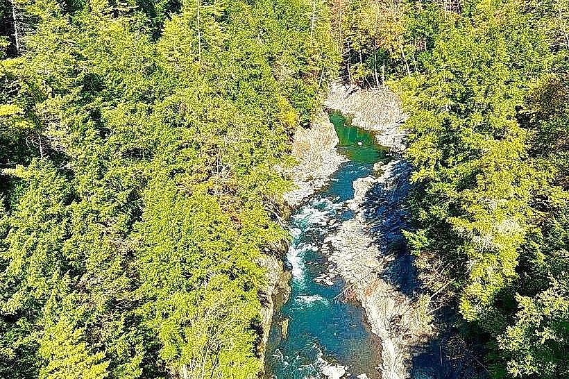
The land surrounding the trailhead is part of a mixed hardwood forest ecosystem, typical of the northeastern United States. The trails were established and maintained by local conservation groups for public recreational use, with origins dating back to the late 20th century.
Key Highlights & Activities
Hiking is the primary activity. The trailhead provides access to the Prosper Trail network, including the loop trail to the summit of Mount Tom (1.6km one-way) and the shorter trail to the Pogue (0.8km one-way). Birdwatching is also possible.
Infrastructure & Amenities
Restrooms are not available at the trailhead. There is no designated shade structure. Cell phone signal (4G/5G) is intermittent to non-existent within the trailhead area and on most trails. No food vendors are present at the trailhead.
Best Time to Visit
For optimal hiking conditions, the months of May through October are recommended. Early morning or late afternoon provides the best natural light for photography. Trails can be muddy after rain; waterproof footwear is advised.
Facts & Legends
A local anecdote suggests that the summit of Mount Tom was once a popular spot for amateur astronomers due to its relatively clear views, though this is not officially documented.
Nearby Landmarks
- Woodstock Village Green (4.5km Northwest)
- Billings Farm & Museum (4.0km Northwest)
- Marsh-Billings-Rockefeller National Historical Park Visitor Center (4.2km Northwest)
- Quechee Gorge State Park (10.5km Northeast)