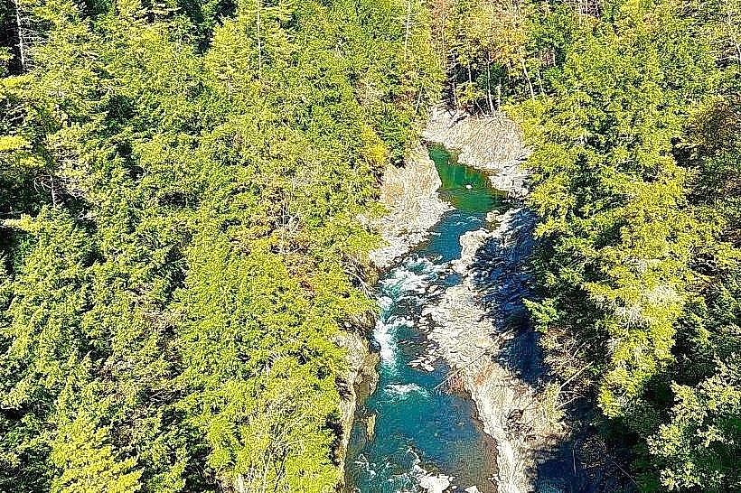
Landmark: Quechee Gorge
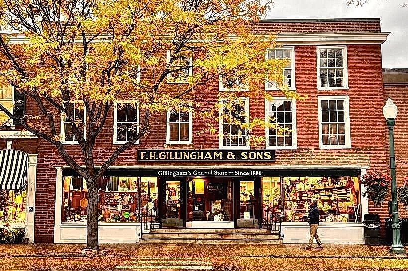
City: Woodstock
Country: USA Vermont
Continent: North America
Quechee Gorge, Woodstock, USA Vermont, North America
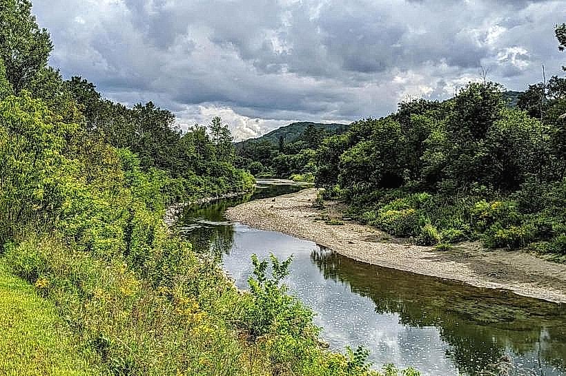
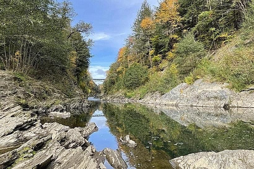
Quechee Gorge is a geological feature located in Quechee, Vermont, within the town of Hartford. It is the deepest gorge in Vermont.
Visual Characteristics
The gorge is a chasm approximately 165 feet deep. Its walls are composed of exposed bedrock, primarily metamorphic rock formations. The Ottauquechee River flows through the base of the gorge, exhibiting varying water levels and clarity depending on recent precipitation.
Location & Access Logistics
Quechee Gorge is situated approximately 10 miles east of Woodstock, Vermont. Access is via US Route 4. Parking is available at designated lots adjacent to the gorge, including a state park lot and private facilities. Public transportation options are limited; the closest bus route stops in White River Junction, requiring a taxi or ride-share service for the final leg.
Historical & Ecological Origin
The gorge was formed by glacial meltwater erosion during the last Ice Age, approximately 10,000 to 12,000 years ago. The bedrock exposed in the gorge walls dates back to the Ordovician period.
Key Highlights & Activities
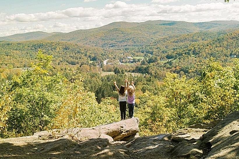
Observation points are accessible from the US Route 4 bridge, offering views into the gorge. Hiking trails are present on both sides of the gorge, providing different perspectives. Fishing in the Ottauquechee River is permitted with a valid Vermont fishing license. Photography is a common activity, particularly of the river and rock formations.
Infrastructure & Amenities
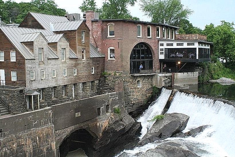
Restrooms are available at the Quechee Gorge State Park visitor center. Shade is provided by deciduous trees along the gorge rim. Cell phone signal (4G) is generally available in the immediate vicinity. Food vendors and restaurants are located in the nearby Quechee village.
Best Time to Visit
For photography, early morning or late afternoon light provides optimal illumination of the gorge walls. The months of May through October offer the most favorable weather conditions for outdoor activities. The river's flow can be higher in spring due to snowmelt.
Facts & Legends
A local legend suggests that the gorge was created by a giant who dropped a massive boulder. Geologically, the gorge is often referred to as "Vermont's Little Grand Canyon."
Nearby Landmarks
- Quechee Village (0.5km West)
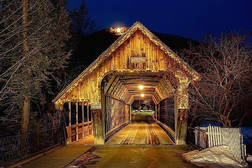
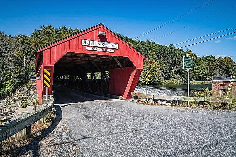
- Quechee Covered Bridge (0.7km West)
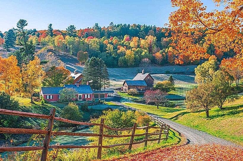
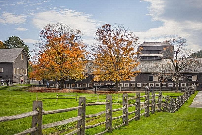
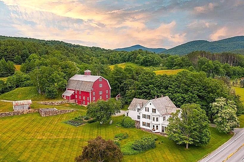
- Billings Farm & Museum (4.0km Southwest)
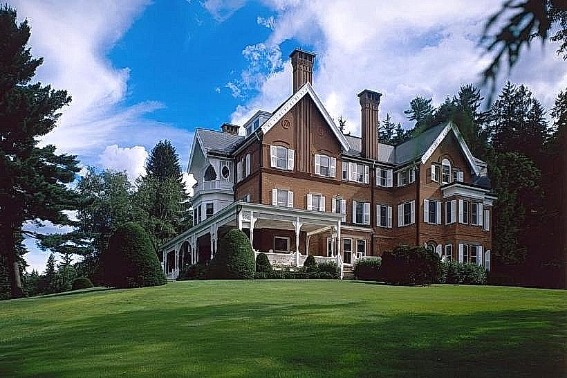
- Woodstock Inn & Resort (4.5km Southwest)
- Mount Tom State Park (5.0km Southwest)