Landmark: Nahr al-Kalb Inscriptions
City: Jounieh
Country: Lebanon
Continent: Asia
Nahr al-Kalb Inscriptions, Jounieh, Lebanon, Asia
The Nahr al-Kalb Inscriptions, also known as the Commemorative Stelae of Nahr el-Kalb, are a collection of over 20 rock-cut reliefs and monuments situated on the limestone cliffs flanking the estuary of the Dog River. Located approximately 12km north of Beirut, this site serves as a chronological lithic record of military conquests in the Levant spanning over 3,000 years.
Visual Characteristics
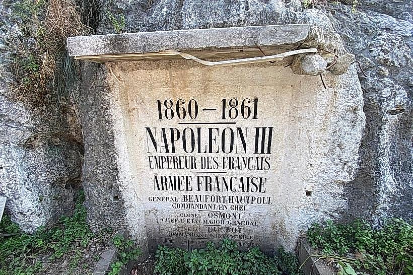
The site consists of multiple stelae carved directly into the vertical limestone promontory. These carvings vary in shape from rounded Egyptian-style tablets to rectangular Assyrian panels. The inscriptions utilize various scripts, including hieroglyphics, cuneiform, Greek, Latin, Arabic, French, and English. The physical state of the reliefs ranges from highly eroded ancient figures to well-preserved modern bronze plaques and deep-cut masonry.
Location & Access Logistics
The inscriptions are located along the old coastal road at the mouth of the Nahr al-Kalb river, just off the main Beirut-Tripoli highway. Access is primarily on foot via a series of stone stairways and paths that wind up the southern cliffside. Limited parking is available near the medieval Mamluk bridge at the base of the hill. Public transport users can take any northbound bus from Beirut to the Nahr al-Kalb junction and walk approximately 500 meters inland to the archaeological zone.
Historical & Ecological Origin
The site’s importance stems from its geography; the river formerly created a narrow, difficult-to-cross gorge that forced passing armies to consolidate at this specific point. The earliest inscriptions were commissioned by Pharaoh Ramesses II in the 13th century BC to mark his Syrian campaigns. Over the following millennia, Neo-Assyrian, Babylonian, Roman, Mamluk, and Ottoman rulers added their own records. The most recent additions mark the departure of foreign troops from Lebanon in 1946 and 2000.
Key Highlights & Activities
Visitors can conduct a self-guided chronological walk, starting with the 19th-century French and British plaques at the lower levels and ascending to the ancient Egyptian and Assyrian reliefs higher up the slope. Key carvings include the stelae of Esarhaddon and the lone Babylonian inscription of Nebuchadnezzar II on the northern bank. The site also features a well-preserved medieval bridge and a multi-arched Ottoman-era bridge nearby.
Infrastructure & Amenities
The site is an open-air archaeological park with no admission fee. 5G cellular signal is strong throughout the valley. While there are no visitor centers or public restrooms directly on the cliffside, several cafes and restaurants are located within 200 meters of the riverbank. Information boards are positioned at the base of the stairs, though many are faded; the stairways are steep and lack wheelchair accessibility.
Best Time to Visit
Morning is the optimal time for photography, as the southern cliffs receive direct sunlight, making the eroded carvings easier to distinguish. The site is open 24 hours, but daylight is essential for viewing the inscriptions. Spring (March to May) offers the most comfortable temperature for climbing the stone stairs and ensures the surrounding river vegetation is lush.
Facts & Legends
A unique historical oddity involves Napoleon III, who in 1861 repurposed an ancient, weathered Assyrian stele by carving over it to record his own military intervention in Lebanon. Local legend refers to the river as the "Dog River" due to a supposed ancient statue of a wolf or dog that stood on a pedestal at the river's mouth and was said to howl during storms, warning sailors of impending danger.
Nearby Landmarks
Christ the King Statue (Zouk Mosbeh) (0.6km North)
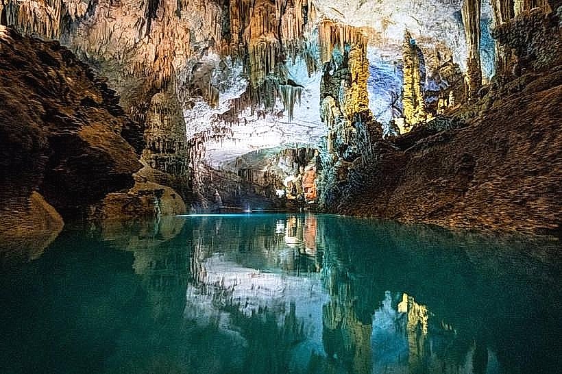
Jeita Grotto (3.5km East)
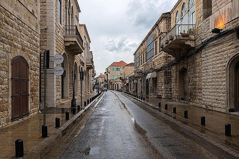
Telepherique de Jounieh (3.5km North)
Old Souk of Jounieh (5.0km North)
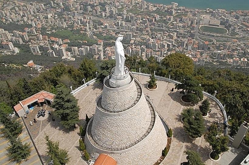
Our Lady of Lebanon (Harissa) (4.2km Northeast)