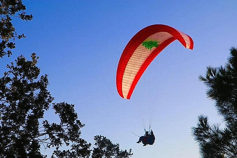
Landmark: Paragliding Launch Sites
City: Jounieh
Country: Lebanon
Continent: Asia
Paragliding Launch Sites, Jounieh, Lebanon, Asia
The Paragliding Launch Sites in Lebanon are primarily located on the mountain ridges of Harissa and Ghosta, overlooking the Bay of Jounieh. These sites serve as the departure points for tandem and solo flights that descend from an altitude of approximately 750 meters to the coastal landing zones.
Visual Characteristics
The launch sites consist of steep, cleared limestone clearings or artificial turf ramps situated on the edge of vertical cliffs. The surrounding landscape is characterized by Mediterranean pine forests and dense shrubland typical of the Mount Lebanon range. From the air, the flight path offers a visual contrast between the jagged grey rock of the mountainside and the densely packed urban high-rises along the shoreline.
Location & Access Logistics
The primary launch area is located in the Ghosta region, accessible via the Harissa mountain road, approximately 28km north of Beirut. Access is typically managed by authorized paragliding clubs that transport participants from a meeting point in Jounieh to the summit in 4x4 vehicles. Private vehicles can reach the vicinity via the Ghosta-Harissa road; however, the specific takeoff ramps are located on private or club-managed land.
Historical & Ecological Origin
Paragliding in this region began in the early 1990s as local pilots identified the unique thermal and ridge lift conditions created by the steep ascent from sea level to the mountain peaks. Geologically, the takeoff points are situated on Cenomanian limestone formations. The thermal currents are generated by the temperature differential between the cool Mediterranean Sea and the sun-heated rock faces of the Keserwan mountains.
Key Highlights & Activities
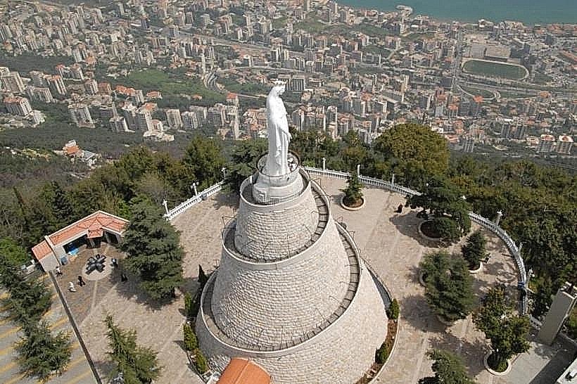
Tandem paragliding is the primary activity, where passengers fly with certified instructors for a duration of 15 to 25 minutes. Experienced solo pilots utilize the sites for cross-country flights toward the north or east. Aerial photography of the Our Lady of Lebanon statue and the Jounieh coastline is a major highlight for participants during the descent.
Infrastructure & Amenities
Launch sites are equipped with wind socks and basic shaded waiting areas. 5G cellular coverage is available at the summits and throughout the flight path. While the takeoff points themselves lack permanent public restrooms or food vendors, the nearby village of Harissa provides a full range of cafes, restaurants, and shops within a 5-minute drive.
Best Time to Visit
The paragliding season runs year-round, but flights are strictly weather-dependent. The best time for flying is from April to November. Flights typically occur between 10:00 and 17:00 when the sea breeze provides stable lift. Clear days with low wind speeds are required; operations are suspended during the "Khamasin" dust storms or high-velocity northern winds.
Facts & Legends
A unique logistical oddity of this site is the landing zone, which is often a narrow public maritime strip or a specific grassy plot in the middle of the high-rise Jounieh urban center, requiring high precision from pilots. Local flyers often recount the "Ghosta Thermal," a specific rising air current near the launch site that can lift a paraglider hundreds of meters above the takeoff point in minutes.
Nearby Landmarks
Our Lady of Lebanon (Harissa) (1.2km South)
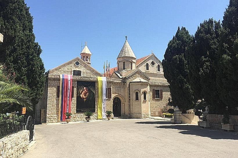
Our Lady of Bzommar Monastery (3.5km Northeast)
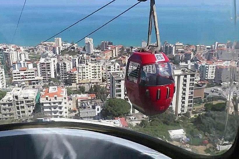
Telepherique Station (1.5km Southwest)
Old Souk of Jounieh (2.0km West - Vertical)
Saint George Church (Ghosta) (0.8km East)