Landmark: Papagayo Peninsula
City: Guanacaste
Country: Costa Rica
Continent: North America
Papagayo Peninsula, Guanacaste, Costa Rica, North America
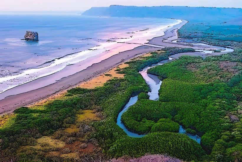
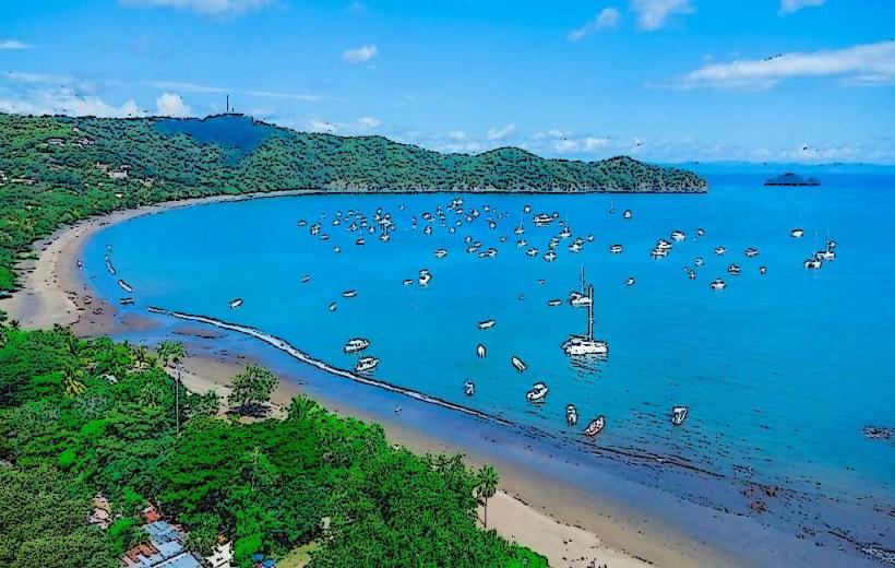
The Papagayo Peninsula is a landmass extending into the Pacific Ocean, located in the Guanacaste province of Costa Rica.
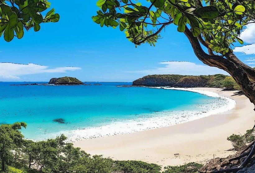
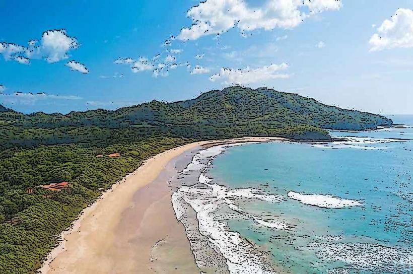
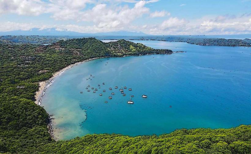
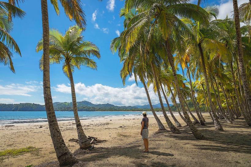
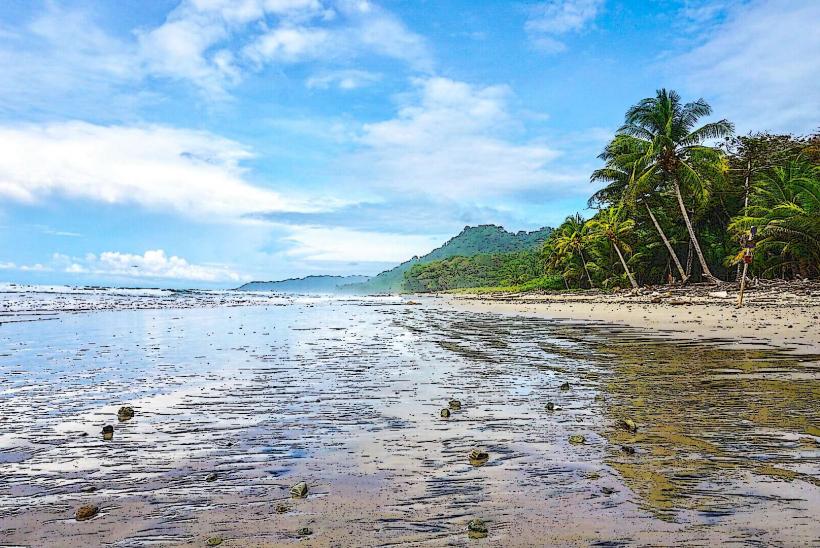
This geographical feature is characterized by its dry tropical forest ecosystem and a coastline marked by numerous coves and beaches.
Visual Characteristics
The peninsula features a rugged coastline with a mix of rocky outcrops and sandy beaches. Vegetation consists primarily of dry tropical forest, with deciduous trees and shrubs adapted to arid conditions. The Pacific Ocean waters surrounding the peninsula are typically a deep blue, with varying shades depending on depth and light. Several bays and inlets indent the coastline, creating sheltered areas.
Location & Access Logistics
The Papagayo Peninsula is situated approximately 30 kilometers northwest of Liberia International Airport (LIR). Access is primarily via paved roads, with the main route being Highway 1, followed by local roads leading onto the peninsula. Several resorts and private developments have internal road networks. Parking is available at designated areas within resorts and public access points, though availability can be limited during peak seasons. Public transport directly to the peninsula is minimal; private shuttles or taxis from Liberia are the most common options.
Historical & Ecological Origin
The peninsula's geological formation is part of the Nicoya Complex, a terrane accreted onto the North American plate. Its current topography is shaped by volcanic activity and subsequent erosion over millions of years. Ecologically, it represents a transition zone between the drier Guanacaste region and the more humid Pacific coast, supporting a unique dry tropical forest ecosystem.
Key Highlights & Activities
Activities include swimming and sunbathing on the beaches. Water sports such as kayaking and paddleboarding are available in sheltered bays. Hiking trails traverse parts of the peninsula, offering views of the coastline and forest. Birdwatching is a notable activity due to the diverse avian population. Fishing charters operate from nearby marinas.
Infrastructure & Amenities
Infrastructure varies significantly across the peninsula. Major resorts offer full amenities including restaurants, restrooms, swimming pools, and Wi-Fi. Public access points may have limited facilities. Cell phone signal (4G/5G) is generally available in resort areas and along main access roads, but can be intermittent in more remote sections. Food vendors are typically concentrated within resort zones or at specific beach access points.
Best Time to Visit
The dry season, from December to April, offers the most favorable weather with minimal rainfall and high sunshine. The best time of day for photography is generally early morning or late afternoon, when the sun angle is lower, providing softer light and longer shadows. High tide is suitable for swimming and water sports; low tide may expose more rocky areas.
Facts & Legends
The name "Papagayo" refers to the Great-tailed Grackle, a common bird in the region. Local folklore sometimes speaks of ancient indigenous settlements that once inhabited the area, though archaeological evidence is sparse. A specific tip for visitors is to explore the smaller, less developed coves for more secluded beach experiences, accessible via short hikes from main roads.
Nearby Landmarks
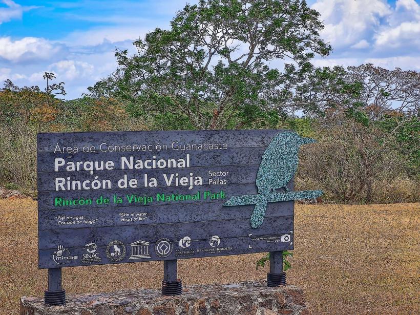
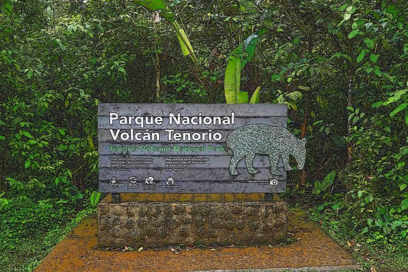
- Rincón de la Vieja National Park (25km Southeast)
- Playa Hermosa (10km Southwest)
- Ocotal Beach (15km Southwest)
- Liberia City Center (30km Southeast)
- Santa Rosa National Park (40km Northwest)