Information
Landmark: Parque Nacional ChiloéCity: Chiloe
Country: Chile
Continent: South America
Parque Nacional Chiloé, Chiloe, Chile, South America
Parque Nacional Chiloé is a protected area located on the western coast of Chiloé Island in the Los Lagos Region of Chile.
This national park preserves a significant portion of the island's coastal and forest ecosystems.
Visual Characteristics
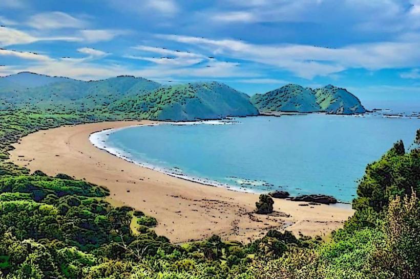
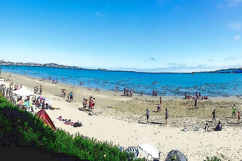
The park features a coastline characterized by sandy beaches and rocky outcrops. Inland, the landscape is dominated by Valdivian temperate rainforest, with dense stands of native trees such as coigüe, ulmo, and tineo. The terrain is generally undulating, with some areas of marshland and small streams. The average elevation is approximately 100 meters above sea level.
Location & Access Logistics
The park is situated approximately 100 kilometers west of Castro, the main city on Chiloé Island. Access is primarily via the Ruta W-55, a gravel road that connects to the town of Ancud. From Ancud, continue west on the Ruta W-55 for approximately 30 kilometers to reach the park entrance near the community of Pellinco. Parking is available at designated areas within the park. Public transport options are limited; infrequent local buses may service the general area, but direct service to the park entrance is not guaranteed. It is recommended to travel by private vehicle or taxi.
Historical & Ecological Origin
Parque Nacional Chiloé was established on August 17, 1982, to protect the unique biodiversity and natural landscapes of Chiloé Island. Ecologically, it represents a transition zone between the temperate rainforests of southern Chile and the coastal marine environments. The area's geological formation is primarily sedimentary rock, shaped by glacial activity and coastal erosion over millennia.
Key Highlights & Activities
Hiking is a primary activity, with marked trails such as the Sendero de Chile (coastal section) and the Sendero Dunas de Cucao. Birdwatching is popular, with opportunities to observe various seabirds and forest species. Photography of the coastal scenery and forest interiors is also a common pursuit. Access to the Dunas de Cucao beach allows for coastal exploration.
Infrastructure & Amenities
Basic infrastructure includes marked hiking trails, interpretive signage, and designated picnic areas. Restrooms are available at the main entrance and at key trailheads. Shade is abundant within the forested areas. Cell phone signal (4G/5G) is generally unreliable within the park boundaries, particularly in deeper forest sections. There are no food vendors within the park; visitors should bring their own supplies. Limited services are available in the nearby community of Cucao.
Best Time to Visit
The best months for visiting are from December to March, during the austral summer, offering milder weather and less rainfall. For photography, the early morning and late afternoon provide optimal lighting conditions for the coastal areas and forest. High tide is not a critical factor for most park activities, but can affect beach access in certain areas.
Facts & Legends
A notable feature of the park is the presence of the endangered Darwin's fox (Lycalopex fulvipes), a small canid endemic to Chile. Local folklore often speaks of the Trauco, a mythical forest creature said to inhabit the island's woods, though its existence is not scientifically verified.
Nearby Landmarks
- Dunas de Cucao: 1km West (Beach and dune system)
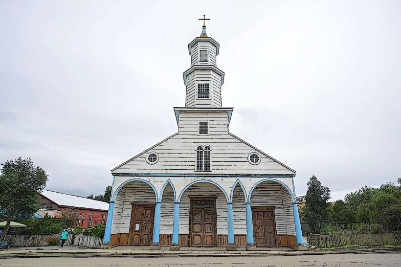
- Iglesia de Cucao: 3km Northeast (Historic wooden church)
- Lago Huillinco: 7km East (Large freshwater lake)
- Parque Tantauco: 15km South (Private nature reserve with similar ecosystems)